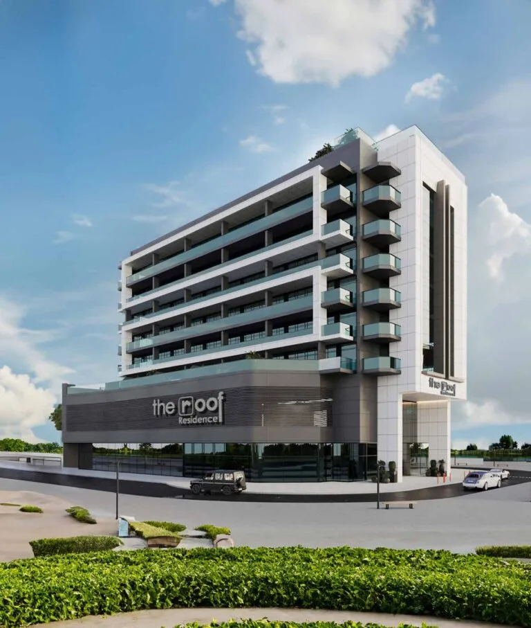
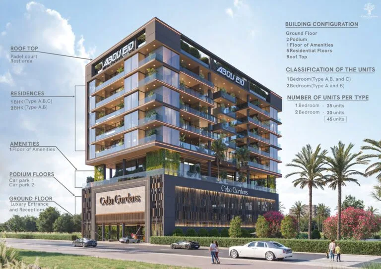
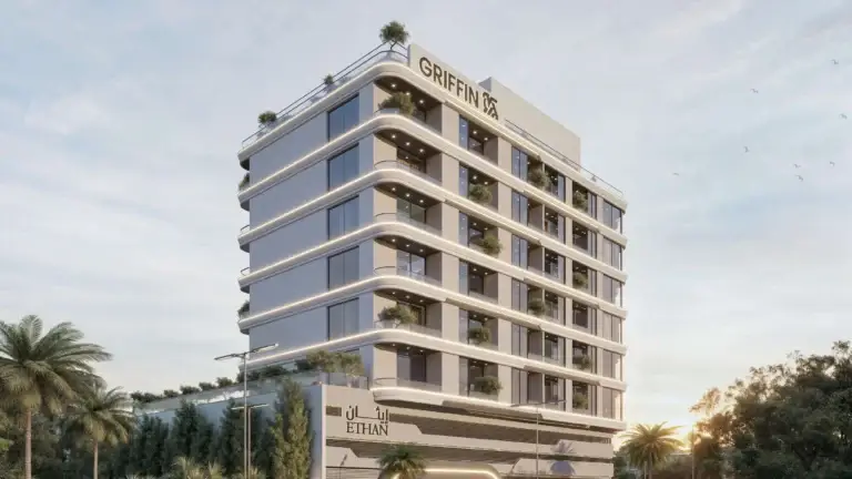
Nad Al Sheba Gardens 2 is a residential subcommunity within Nad Al Sheba Gardens, itself part of Nad Al Sheba 1 in the Meydan area of Mohammed Bin Rashid City. The area is identified as clusters F and G and sits within the larger Nad Al Sheba neighbourhood. Coordinates place the subcommunity at approximately 25.134373°N, 55.308177°E. The official classification in property files is SUBCOMMUNITY and recent land-department records include a set of sale transactions tied to this location.
Nad Al Sheba Gardens 2 forms part of Nad Al Sheba Gardens, a defined residential area inside Nad Al Sheba 1. On administrative and mapping hierarchies it is located under: Dubai > Mohammed Bin Rashid City > Meydan > Nad Al Sheba 1 > Nad Al Sheba Gardens > Nad Al Sheba Gardens 2. The community is typically referenced by local property sources as comprising clusters F and G. The subcommunity sits inland relative to Dubai’s coastal districts, offering direct road access across the city via the main arterial routes that serve Nad Al Sheba and Meydan.
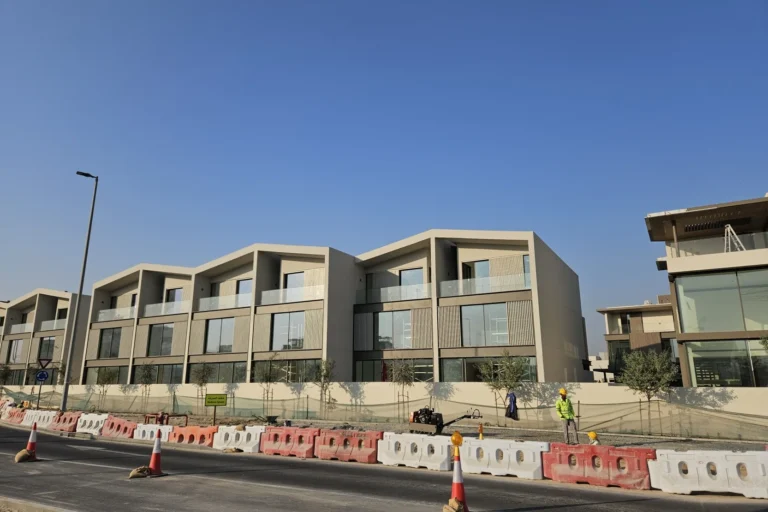
Public transport and road access should be considered separately. The nearest Dubai Metro station on the Red Line is identified by code R26; the mapped distance from the subcommunity to that station is around 7,945 metres, which makes it not a walkable connection for daily commuting on foot. Road travel times published in local summaries give practical driving estimates to major destinations:
These distances are approximate straight-line or road distances as compiled in local property summaries; actual travel times vary with traffic and route choice. For many destinations the typical option is travel by car or taxi given the metro station distance.
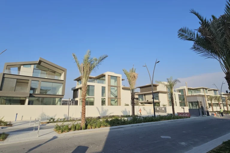
Nad Al Sheba Gardens 2 is catalogued as part of the Nad Al Sheba Gardens grouping and is treated in registration and property listings as a subcommunity. Property-data extracts note that clusters F and G form the composition of this subcommunity. Public records aggregated by the Dubai Land Department and published under the Open Data directive list transaction activity tied to this location: at the time of the referenced extract there are fifty sale transaction records associated with Nad Al Sheba Gardens 2.
The public summaries and portal descriptions include a local map and summaries of nearby attractions, parks, beaches, golf clubs and cinemas; these summaries are maintained as part of the community guide content. The area is positioned to benefit from proximity to Meydan and the wider Mohammed Bin Rashid City precinct, which provides context for urban infrastructure and access to citywide road links. Local property portals also maintain lists of schools and leisure offers in the surrounding neighbourhoods; in published local summaries specific nearby schools have been cited with short distances.
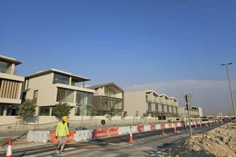
Published local summaries list a number of nearby educational institutions with short driving distances: Rashid and Latifa Schools are cited at about 1.6 km away, and the Bilingual French International School is cited at approximately 2.2 km. The compiled community guides that accompany property listings also reference current leisure offerings in the general vicinity through partner services that aggregate dining and entertainment promotions.
For everyday shopping, healthcare, dining and entertainment residents typically use facilities in adjacent neighbourhoods and the wider Meydan and Downtown corridors. The subcommunity’s location within Nad Al Sheba 1 places it within routine driving distance of large malls and business districts noted above.
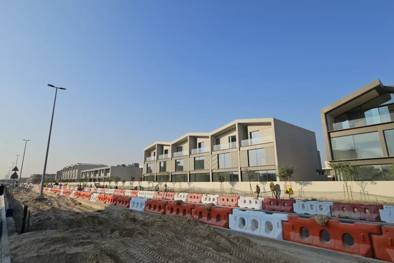
The subcommunity’s position within Nad Al Sheba and its road-access relationships to central Dubai and to the airports make it relevant for several categories of residents and occupiers:
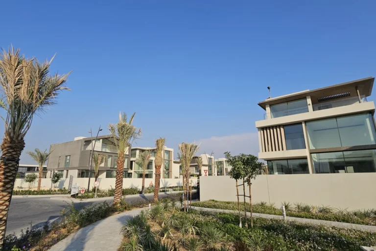
Where exactly is Nad Al Sheba Gardens 2?
It is a subcommunity within Nad Al Sheba Gardens, itself part of Nad Al Sheba 1 in the Meydan sector of Mohammed Bin Rashid City. Mapping coordinates in public summaries place it at 25.134373°N, 55.308177°E.
How long does it take to reach Downtown Dubai or Dubai Mall?
Published local drive-time summaries estimate roughly 17 minutes to The Dubai Mall and roughly 23 minutes to Burj Khalifa/Downtown Dubai, with distance figures of about 7.6–7.8 km noted in compiled distance tables. Actual times depend on traffic and route.
Are there schools nearby?
Yes. Local descriptions cite Rashid and Latifa Schools at roughly 1.6 km and the Bilingual French International School at about 2.2 km from Nad Al Sheba Gardens 2.
What are the public transport options?
The nearest Dubai Metro station on the Red Line is identified by code R26 and is located approximately 7,945 metres from the subcommunity, which is a distance that makes walking impractical. Road travel by car or taxi is the primary means of reaching central areas and other districts from Nad Al Sheba Gardens 2.
Notes: transactional and distance figures referenced here follow summaries and public listings compiled from Dubai Land Department records and property-portal extracts. The community is described in public guides and listings as clusters F and G within Nad Al Sheba Gardens.
Machine-readable mirrors of this page: Markdown · JSON. Every field carries its origin.
How to cite:Nad Al Sheba Gardens 2 — Continental Club Property, 2026-07-30, https://continentalclub.ae/location/nad-al-sheba-gardens-2/
Dubai market as a whole: prices, transactions and trends (DLD data) →
Largest management companies in the area: Kaizen Owner Association Management Services (3), V C M Community Management (3), Dh Community Management (1).
Check any building’s service charge → All communities
RERA-approved 2026 budgets from the DLD service charge index (Mollak); residential buildings. Rate is AED per sq ft per year; YoY compares the same buildings in 2025.
Neighbouring areas and sub-communities to compare location and prices.
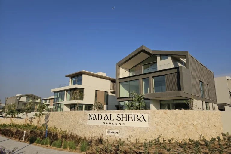 Nad Al Sheba GardensNad Al Sheba 1
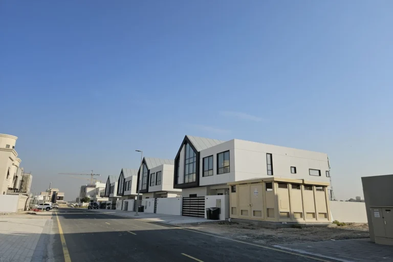 Nad Al Sheba Gardens 1Nad Al Sheba Gardens
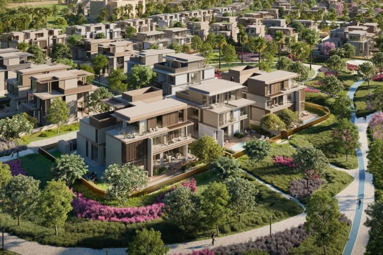 Nad Al Sheba Gardens 10Nad Al Sheba Gardens
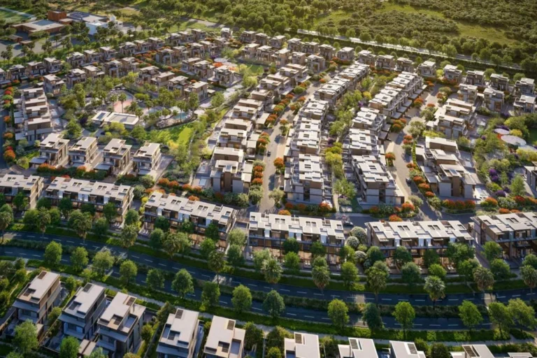 Nad Al Sheba Gardens 11Nad Al Sheba GardensNad Al Sheba Gardens 12Nad Al Sheba Gardens
 Nad Al Sheba Gardens 3Nad Al Sheba Gardens
 Nad Al Sheba Gardens 4Nad Al Sheba Gardens
 Nad Al Sheba Gardens 5Nad Al Sheba Gardens