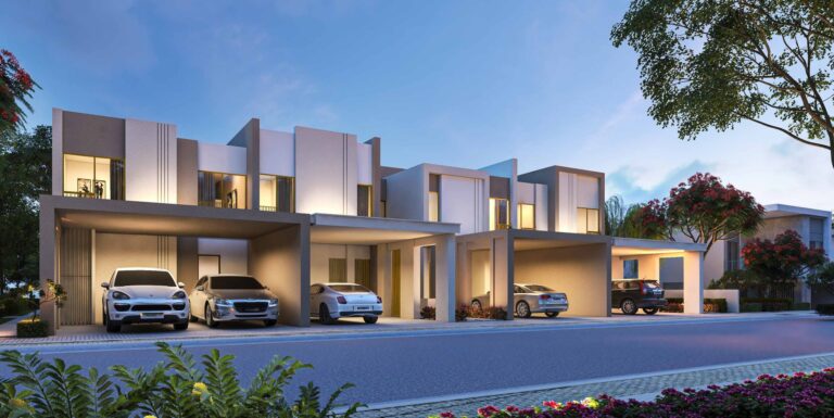
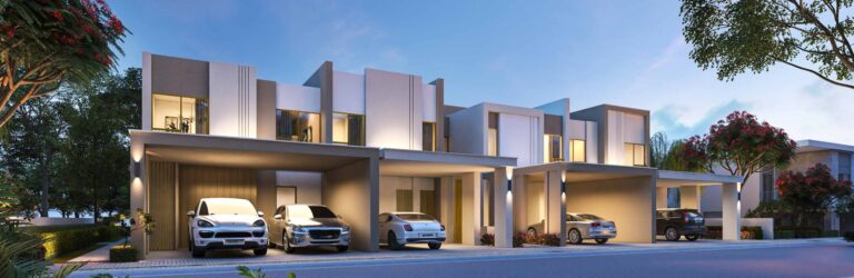
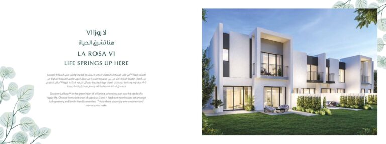
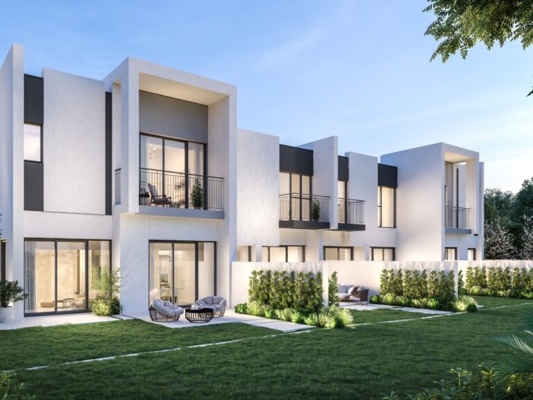
Amaranta B is a residential tower within the Amaranta sub-community of Villanova in the Wadi Al Safa 5 area of DubaiLand. The building is located at coordinates 25.079426, 55.363188 and forms part of the Amaranta cluster. Positioned on the western side of Dubai’s urban belt, it offers access to community services and road connections to central Dubai.
Amaranta B is a tower within the Amaranta grouping of Villanova. The community forms part of the wider Villanova masterplan in Wadi Al Safa 5, DubaiLand. Its location can be described as: Dubai > DubaiLand > Wadi Al Safa 5 > Villanova > Amaranta B. As part of the Amaranta cluster, it shares infrastructure and community planning with neighbouring residential homes in the same sub-community.

The nearest metro reference is Green Line station G30, approximately 15.6 km away, making car travel the most practical transport option for residents. Typical driving times are around 31 minutes to Dubai Mall, 32 minutes to Palm Jumeirah, 31 minutes to Burj Al Arab and 36 minutes to The Walk at JBR. Dubai International Airport (DXB) is around 30 minutes away by car, while Al Maktoum International Airport (DWC) is approximately 31 minutes away.
Approximate road distances to key Dubai destinations include:

Amaranta B is a tower within the Amaranta area of Villanova. Fifty sale transactions are associated with the property.
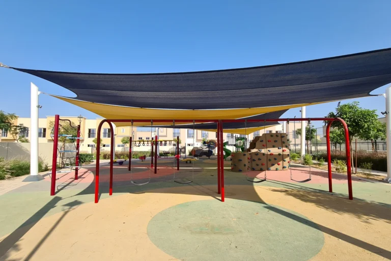
The area around Amaranta B is primarily residential in character. Villanova and the wider Wadi Al Safa 5 precinct offer community landscaping, internal roads, local retail nodes and everyday services. Its position away from Dubai’s beachfront districts creates a quieter residential setting while maintaining practical road access to central activity corridors.
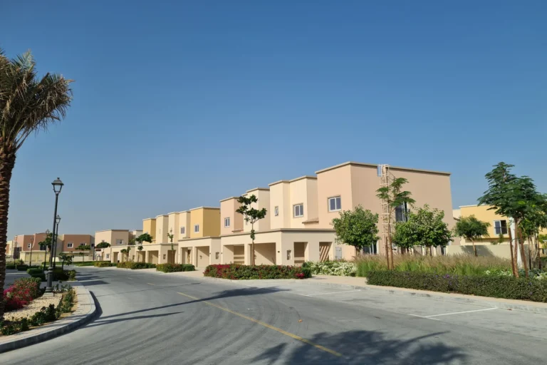
Nearby schools include GEMS FirstPoint School, around 1.7 km away, and The Aquila School, approximately 2.4 km from Amaranta B. Villanova and its surroundings also offer recreational and entertainment options, while Global Village is about 5.8 km away.

Amaranta B suits residents seeking a suburban-style community within Dubai’s wider urban area. Its residential setting and proximity to schools make it appealing to families who prioritise local education and community amenities. Commuters can reach Business Bay, Downtown Dubai and DIFC within roughly 15–17 km, while access to both major airports may suit frequent travellers. The development may also appeal to long-term homeowners looking for a quieter residential cluster with direct road links to Dubai’s principal destinations.
Where exactly is Amaranta B?
Amaranta B is in the Amaranta cluster of Villanova, located in Wadi Al Safa 5 within DubaiLand. Its coordinates are 25.079426, 55.363188.
How do I get to central Dubai from Amaranta B?
Car travel is the most practical option. Downtown Dubai and Dubai Mall are around 15–16 km away, with a typical drive to Dubai Mall taking about 31 minutes. The nearest metro reference, Green Line station G30, is approximately 15.6 km away.
Which schools are nearby?
Nearby schools include GEMS FirstPoint School, approximately 1.7 km away, and The Aquila School, around 2.4 km away.
Are there property transactions for Amaranta B?
Yes. Fifty sale transactions are associated with Amaranta B.
Machine-readable mirrors of this page: Markdown · JSON. Every field carries its origin.
How to cite:Amaranta B — Continental Club Property, 2026-07-30, https://continentalclub.ae/location/amaranta-b/
Dubai market as a whole: prices, transactions and trends (DLD data) →
Largest management companies in the area: Provis Owners Association Management Services (6), Kaizen Owner Association Management Services (4), Stratum Owner Association Management Services (3).
Check any building’s service charge → All communities
RERA-approved 2026 budgets from the DLD service charge index (Mollak); residential buildings. Rate is AED per sq ft per year; YoY compares the same buildings in 2025.
Neighbouring areas and sub-communities to compare location and prices.