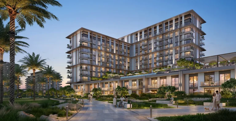
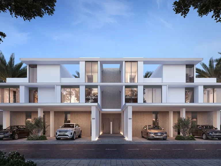
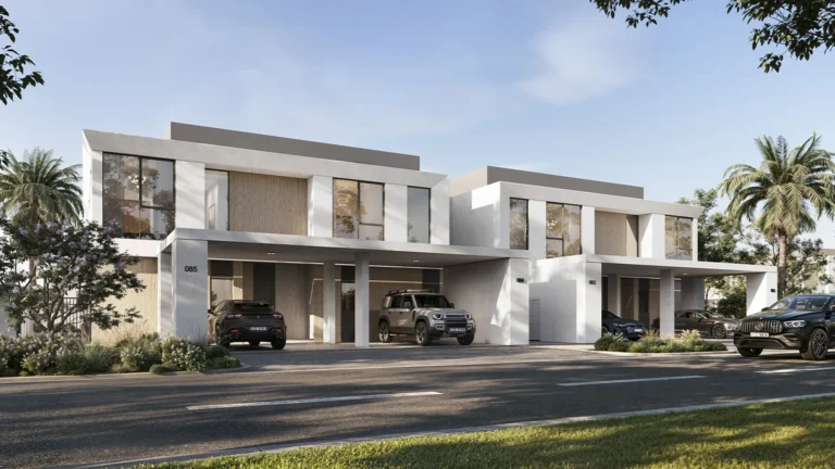
Urbana 3 at Emaar South is a residential component within the Emaar South enclave of Dubai South. The entry below describes the location, transport links and place in the wider masterplan, and summarises public records and nearby amenities that define the district’s immediate context.
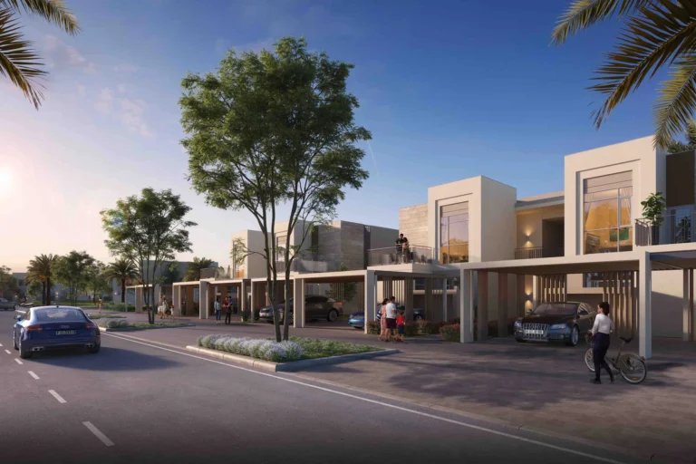
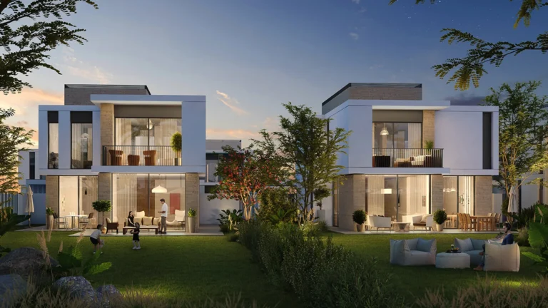
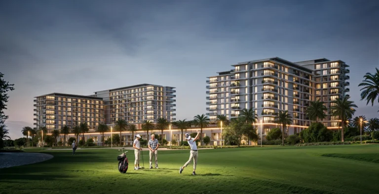
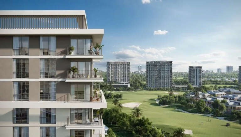
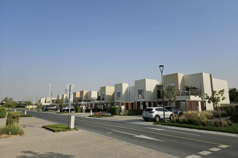
Urbana 3 is part of Emaar South, a planned mixed-use district within the Dubai South development. The area is designed to integrate residential clusters with open space and community facilities as set out in the original masterplan issued by the developer at launch. Images and concept drawings published at that time provide a reference for the intended layout and architectural approach. Documents and archived concept visuals are useful for comparing the original intent with what is delivered on site.
Public transaction records show activity for Urbana 3: there are fifty sale transaction records associated with the address as published under Dubai Land Department open data. That transaction count gives an indication of market activity recorded in the official registry for this specific sub-development.
The closest named school recorded in public sources is GEMS Founders School – Dubai South, at approximately 0.8 km from Urbana 3. This proximity is one concrete point of reference for family-oriented buyers and renters evaluating the neighbourhood.

Urbana 3 is located within the road network of Dubai South and its travel times to principal Dubai destinations reflect that suburban position. Approximate drive times published against the development are:
Air connections: Dubai International Airport (DXB) is reported as roughly a 45-minute drive from Urbana 3. The new Al Maktoum International Airport (DWC) is reported as roughly a 5-minute drive, reflecting the development’s proximity to the Dubai South aviation hub.
Public transport rail access: the nearest Dubai Metro station reference in available data is on the Red Line, code R76. The recorded distance to that station is approximately 10,773 metres (about 10.8 km), which is outside typical walking range. As a result, commuting by private car, taxi or shuttle services is the more common means of reaching rail interchange points from Urbana 3.
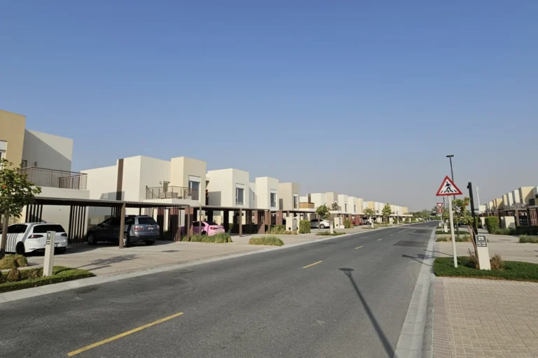
The development sits within a broader masterplan prepared by the developer at launch. That original masterplan and its concept images have been published and are commonly used to compare initial proposals to subsequent construction and landscaping outcomes. Projects in larger masterplans frequently go through design revisions during delivery; published images should therefore be treated as indicative rather than final specifications.
On-site project listings and immediate neighbouring project lists in the supplied dataset are empty. The official transaction records and archive materials remain the primary factual sources for on-site sales activity and historical planning documentation. For detailed listings, including individual units, buyers often consult the Dubai Land Department records and local property portals that aggregate agency listings.
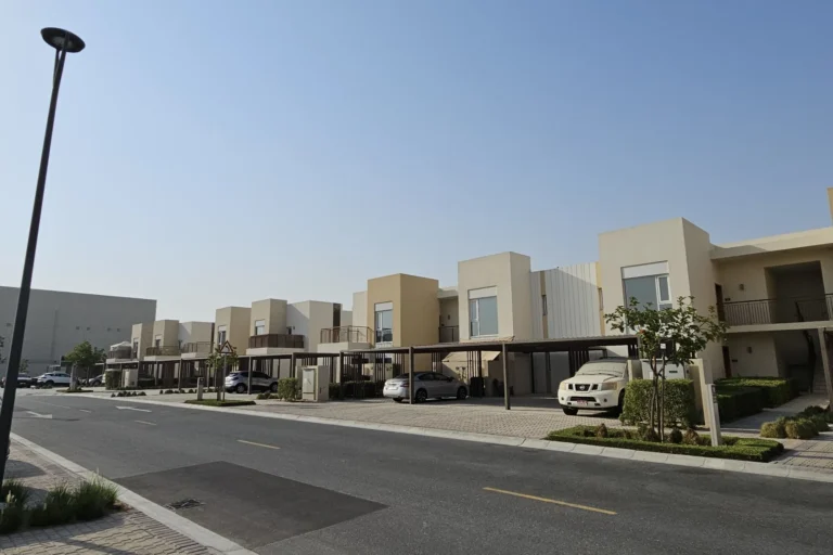
Given its position inside Dubai South and the proximity to the Dubai South airport complex, Urbana 3 is most suitable for:
The development’s planning context and proximity to major roads and airports make it practical for people connected to airport-related employment, logistics operations or businesses that require easy access to DWC and the Dubai South urban nodes.

Q: How many recorded sales are associated with Urbana 3?
A: Official open-data records list fifty sale transaction records for Urbana 3 as published through the Dubai Land Department dataset.
Q: Which school is nearest to Urbana 3?
A: The nearest named school in the available data is GEMS Founders School – Dubai South, approximately 0.8 km from the development.
Q: How long does it take to reach Dubai’s main attractions from Urbana 3?
A: Recorded approximate drive times include roughly 39 minutes to Dubai Mall, 31 minutes to Palm Jumeirah, 36 minutes to Burj Al Arab and 31 minutes to The Walk JBR. Drive times are estimates provided in public summaries and will vary with traffic.
Q: Is the metro within walking distance?
A: The nearest referenced metro station is on the Red Line (code R76) at an approximate distance of 10.8 km from the development. That distance is generally considered not walkable; road transport is normally used to reach metro interchange points.
Machine-readable mirrors of this page: Markdown · JSON. Every field carries its origin.
How to cite:Urbana 3 at Emaar South — Continental Club Property, 2026-07-30, https://continentalclub.ae/location/urbana-3-at-emaar-south/
Dubai market as a whole: prices, transactions and trends (DLD data) →
Largest management companies in the area: Kaizen Owner Association Management Services (24), Emaar Community Management (3), Dubai South Community Management Dwc- (2).
Check any building’s service charge → All communities
RERA-approved 2026 budgets from the DLD service charge index (Mollak); residential buildings. Rate is AED per sq ft per year; YoY compares the same buildings in 2025.
Neighbouring areas and sub-communities to compare location and prices.