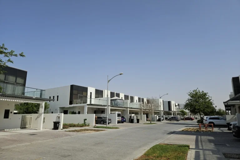
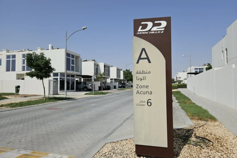
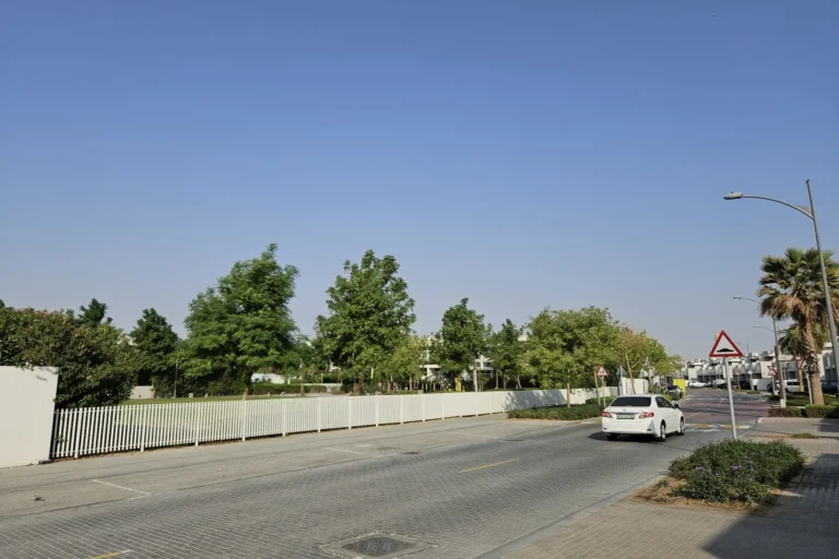
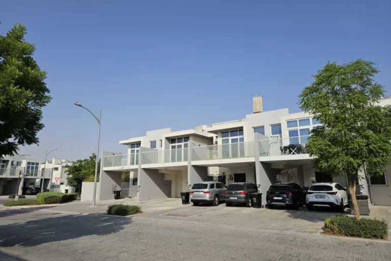
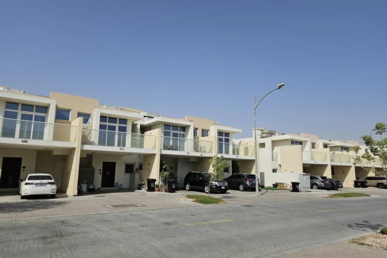
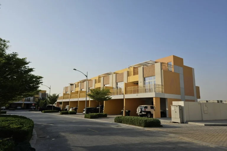
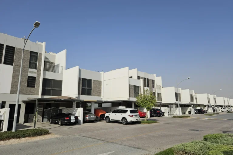
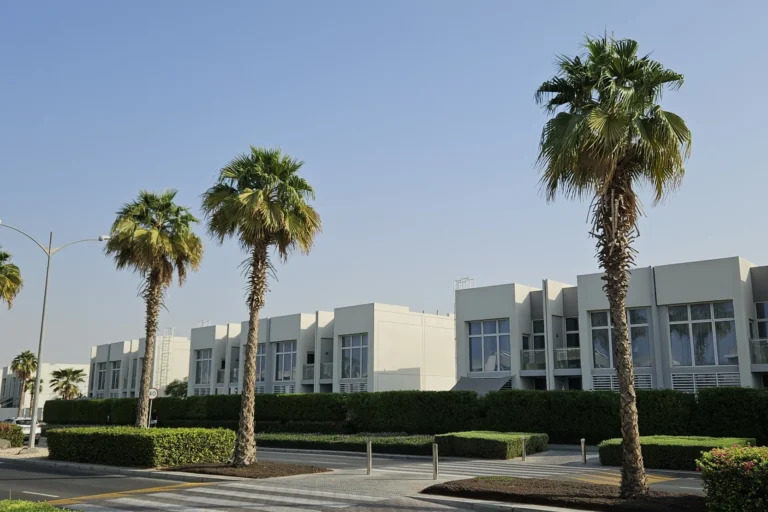
Hawthorn is a residential subcommunity inside the Damac Hills 2 master development in Dubai. It is identified on the developer’s original masterplan as part of the wider Damac Hills 2 project and is positioned toward the northern part of the development area. The community is recorded with coordinates latitude 24.987952 and longitude 55.37894 and forms a named parcel within the Damac Hills 2 structure.
Hawthorn is classified as a SUBCOMMUNITY under the Damac Hills 2 master plan. The administrative path used for listings places it under Dubai, Damac Hills 2 and it appears in site navigation as Dubai > Damac Hills 2 > Hawthorn. The neighbourhood is part of the overall Damac Hills 2 scheme and was shown on the original masterplan released by the developer at the time of Hawthorn’s launch.
Basic location facts and identifiers:
Metro: the closest Dubai Metro line listed is the Red Line, code R73. The recorded distance to that metro reference is 21985 metres; it is marked as not walkable.
Measured road distances to key Dubai locations (as recorded):
Estimated driving times cited from local property information sources (these are the referenced travel durations):
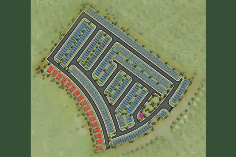
Hawthorn sits within the Damac Hills 2 master development. Information supplied with the masterplan indicates Hawthorn was launched as one of the subcommunities inside that broader scheme. The area is shown in project mapping and planning material prepared at launch.
Public project listing fields for Hawthorn indicate no individual project pages or on-site project links are attached to this community entry; the project-level data available for Hawthorn on the referenced listing service does not include named developments with separate project pages. For community-level references and aggregated listings, external property portals are used to host advertisements and community guides.
Sources that summarise the area list nearby points of interest and amenities in relation to Hawthorn. A local school reference shown in the community summary is Dubai British School Mira, recorded at a distance of 9.6 km from Hawthorn. Distances to major shopping, business and leisure hubs are recorded in the distances list above and should be used to assess accessibility to retail, business districts and beachfront amenities.
Hawthorn is presented as a named residential subcommunity inside a larger master-planned neighbourhood. Buyers or renters assessing Hawthorn should consider the following factual points when judging suitability:
Where exactly is Hawthorn located?
Hawthorn is a subcommunity within Damac Hills 2 in Dubai. It is shown on the original Damac Hills 2 masterplan and listed under Dubai > Damac Hills 2 > Hawthorn. Coordinates are 24.987952, 55.37894.
How close is the Metro?
The nearest recorded metro reference is the Red Line, code R73, at a distance of 21985 metres and marked as not walkable.
What are the typical travel distances to Dubai landmarks?
Recorded road distances include 25.5 km to Burj Khalifa / Downtown Dubai, 25.4 km to The Dubai Mall, 27.9 km to Palm Jumeirah and 11.7 km to Global Village. Refer to the full distances list in this article for other destinations.
Which nearby school is mentioned in local summaries?
The local community summary references Dubai British School Mira at a distance of 9.6 km from Hawthorn.
For consolidated listings and community guides that collect available property advertisements for Hawthorn and surrounding Damac Hills 2 areas, property portals and agency listings are commonly used as the working sources for current availability and individual project information.
Machine-readable mirrors of this page: Markdown · JSON. Every field carries its origin.
How to cite:Hawthorn — Continental Club Property, 2026-07-30, https://continentalclub.ae/location/hawthorn/
Dubai market as a whole: prices, transactions and trends (DLD data) →






Neighbouring areas and sub-communities to compare location and prices.