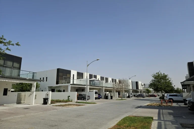
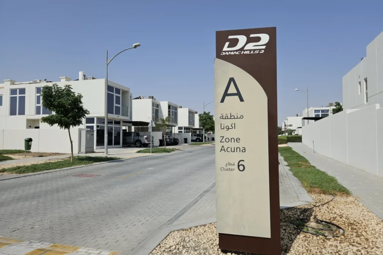
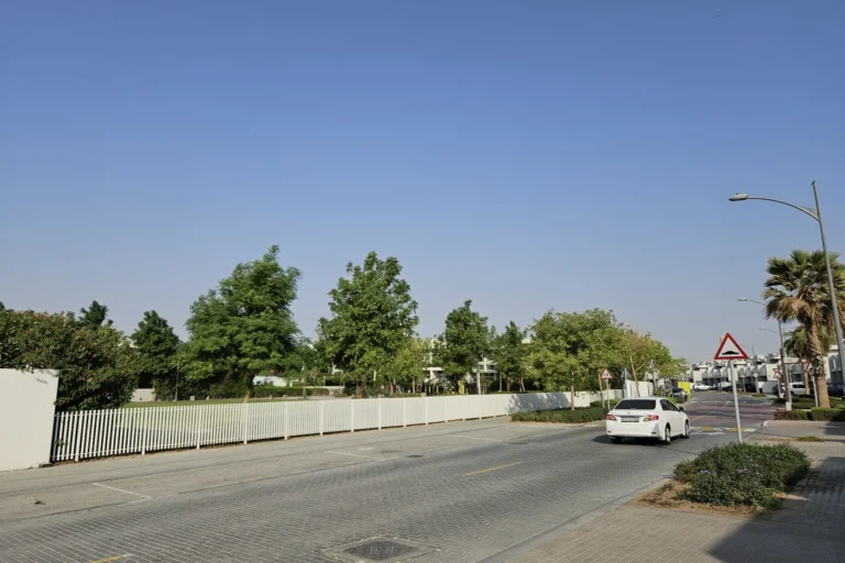
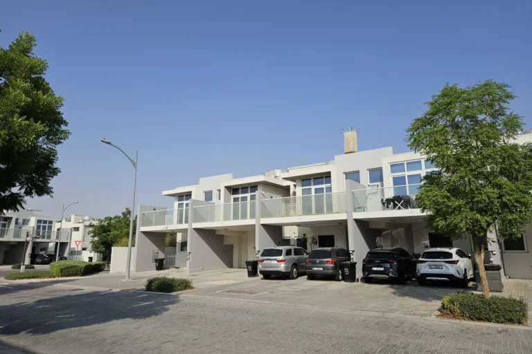
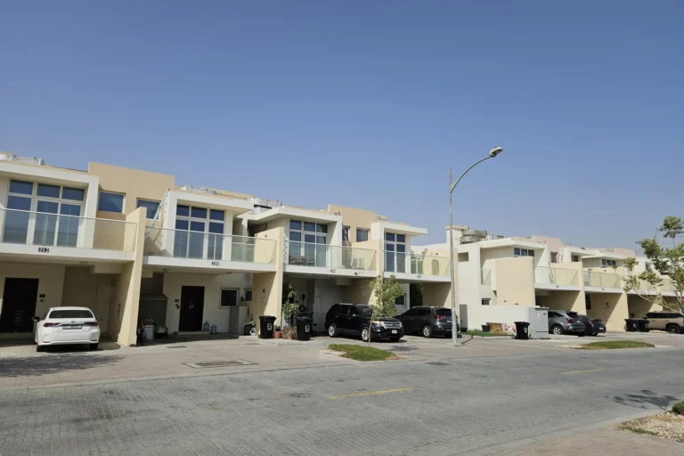
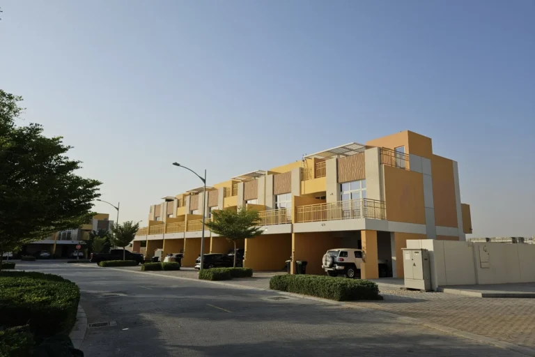
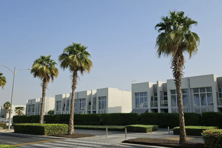
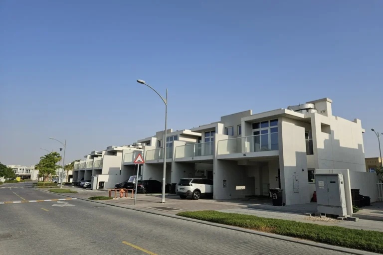
Aster is a subcommunity of Damac Hills 2 in Dubai. It sits within the developer’s masterplan for Damac Hills 2 at coordinates 24.988729, 55.381222. Aster has 50 sale transactions.
Aster forms part of the larger Damac Hills 2 district in Dubai. The location is in the northern sector of the wider suburban cluster, at 24.988729 latitude and 55.381222 longitude.
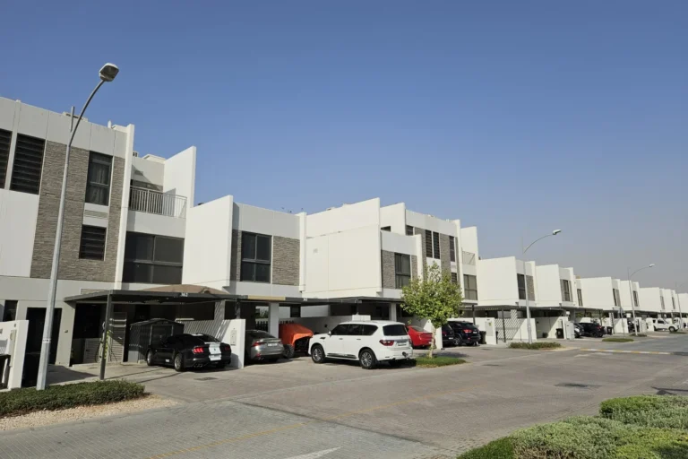
The nearest Dubai Metro Red Line station, code R73, is approximately 22.2 km away, placing it beyond typical walking distance from Aster.
Road distances from Aster to key points across Dubai include:
Typical driving times from Aster are around 37 minutes to The Dubai Mall, 43 minutes to Palm Jumeirah, 42 minutes to Burj Al Arab and 46 minutes to The Walk at JBR. Both Dubai International Airport (DXB) and Al Maktoum International Airport (DWC) are approximately 37 minutes away by car, depending on traffic and route.
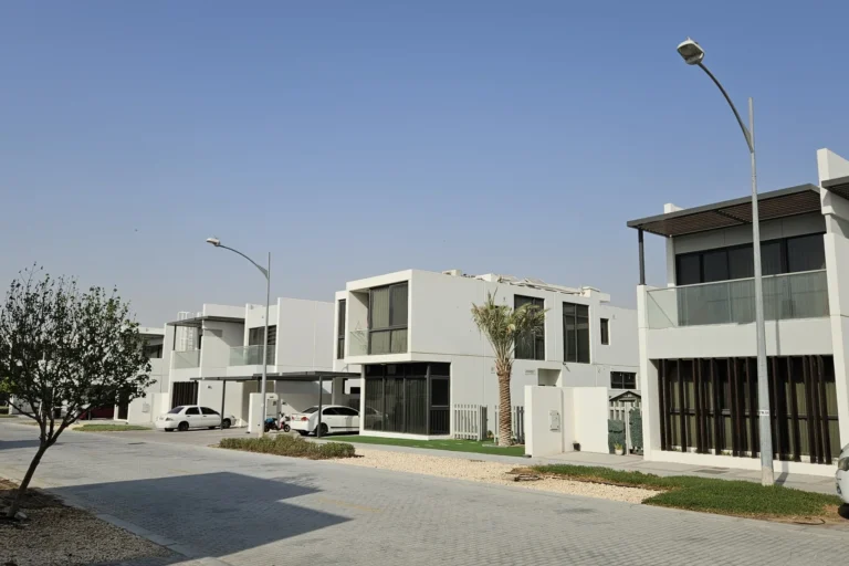
Aster is part of the Damac Hills 2 masterplan. The wider community is arranged as a suburban residential cluster, with nearby attractions including parks, beaches, golf clubs and cinemas.
Aster has 50 sale transactions.

Aster suits people looking for a home within the Damac Hills 2 masterplanned area who prioritise a defined suburban setting over immediate access to central Dubai Metro stations. The neighbourhood’s road connections make it practical for residents who commute by car. Its proximity to destinations such as Global Village, around 11.7 km away, and Expo City Dubai, around 23.5 km away, may also appeal to regular visitors.
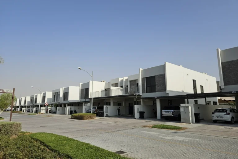
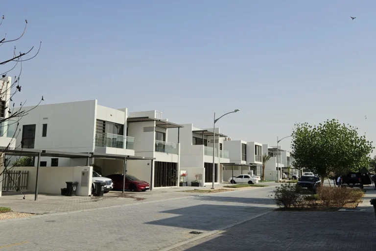
Where is Aster?
Aster is a subcommunity within Damac Hills 2 in Dubai, located at coordinates 24.988729, 55.381222.
How close is the metro?
The nearest Dubai Metro Red Line station, code R73, is approximately 22.2 km from Aster, placing it beyond typical walking distance.
Machine-readable mirrors of this page: Markdown · JSON. Every field carries its origin.
How to cite:Aster — Continental Club Property, 2026-07-30, https://continentalclub.ae/location/aster/
Dubai market as a whole: prices, transactions and trends (DLD data) →




Neighbouring areas and sub-communities to compare location and prices.