Dubawi Island is a district of Dubai, 2.0 km from Al Fardan Exchange Metro Station.
Dubawi Island is a small, purpose‑reclaimed landmass off the south beach of Palm Jumeirah. Conceived in parallel with the Palm Jumeirah works, it remained largely undeveloped after reclamation but has been repurposed within the wider Dubai Harbour / Emaar Beachfront planning framework.
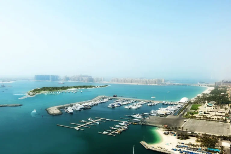
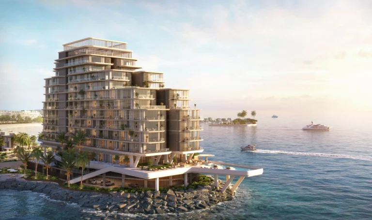
Dubawi Island was created as a private, man‑made island positioned opposite Logo Island, its shape a mirror image on the other side of the Palm. Reclamation of the site was completed in 2005. The island was owned by Zabeel Investments and later became part of the land set to support Emaar’s Emaar Beachfront within the expanded Dubai Harbour concept. Physically, the island includes engineered shore protections and a quay wall and sits adjacent to the southern coastline of the Palm Jumeirah archipelago.
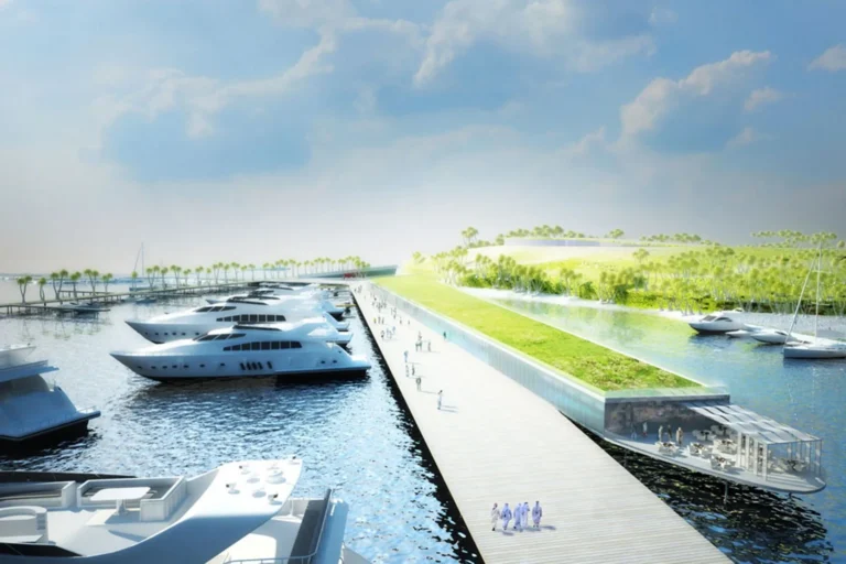
Metro: the nearest Dubai Metro station on the Red Line is designated R35 and lies approximately 2,047 metres from the island; this distance is considered not walkable for everyday commuting. Road and marine access are relevant for the island: the original engineering works included dredged channels to allow large yachts to reach the island, and connections to surrounding waterfront developments have been implemented as the broader Dubai Harbour and Emaar Beachfront projects progressed.
Nearby key points of interest reported in local summaries include established schools within a few kilometres: Dubai College (about 3.1 km) and The International School of Choueifat Dubai (about 3.2 km). The island is immediately related to Palm Jumeirah and the Dubai Harbour waterfront precincts.

Land reclamation and early construction
Planned developments and programme changes
As with many waterfront masterplans, concept drawings and initial proposals have undergone revision over time; some original elements have remained conceptual, while the site itself has been adapted to suit larger adjacent developments.
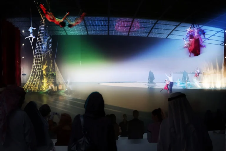
Dubawi Island’s physical footprint reflects its engineered origin: shore protection, small beaches and quay infrastructure dominate its fabric rather than dense built mass. The island functioned as a parcel of reclaimed land that could be reshaped and attached to neighbouring harbour works. Aside from marked villa plots and preparatory activity in 2009, the island did not develop into a completed neighbourhood of standalone buildings before its integration into the Dubai Harbour / Emaar Beachfront area.
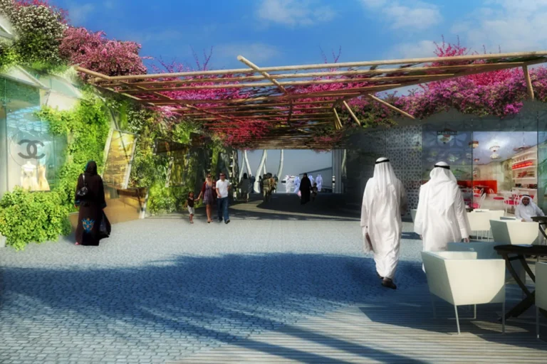
Dubawi Island is most relevant to stakeholders with an interest in strategic waterfront land rather than end users seeking an established residential community inside an existing neighbourhood. Relevant parties include:
Who owns Dubawi Island?
Public records and project summaries identify Zabeel Investments as an owner of the island; subsequent planning and land allocation for Emaar Beachfront involved Emaar as the developer integrating the island into the Dubai Harbour scheme.
Has the island been developed?
The island was reclaimed and engineered in the early 2000s and had limited preparatory works and conceptual project activity. It remained largely undeveloped as standalone schemes before being folded into the Dubai Harbour / Emaar Beachfront area.
What engineering works were carried out to create the island?
Reclamation and construction were implemented between mid‑2003 and early 2005 by Van Oord. The works included large volumes of sand placement, rock revetments, wave breaks, an underwater reef, a 270‑metre quay wall and the creation of small beaches; access channels were dredged later to permit large yachts to approach.
How accessible is the island by public transport?
The nearest Dubai Metro station on the Red Line is approximately 2,047 metres away (station code R35); this distance is not classified as walkable for routine commuting, so access for most users relies on road or marine transport linked to the wider Palm Jumeirah and Dubai Harbour networks.
Machine-readable mirrors of this page: Markdown · JSON. Every field carries its origin.
How to cite:Dubawi Island — Continental Club Property, 2026-09-10, https://continentalclub.ae/location/dubawi-island/
Dubai market as a whole: prices, transactions and trends (DLD data) →
Largest management companies in the area: Dh Community Management (10), Saga International Owner Association Management Services (7), Kaizen Owner Association Management Services (6).
Check any building’s service charge → All communities
RERA-approved 2026 budgets from the DLD service charge index (Mollak); residential buildings. Rate is AED per sq ft per year; YoY compares the same buildings in 2025.




Neighbouring areas and sub-communities to compare location and prices.
