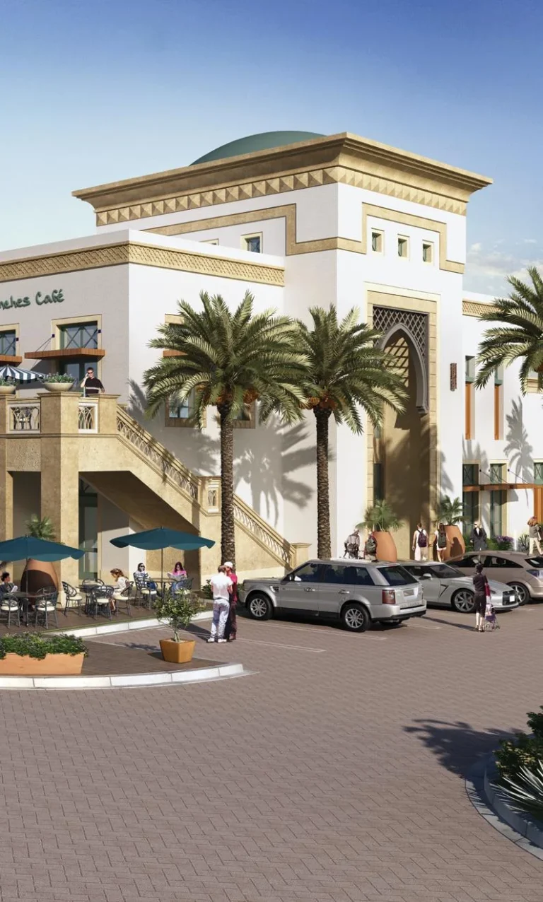
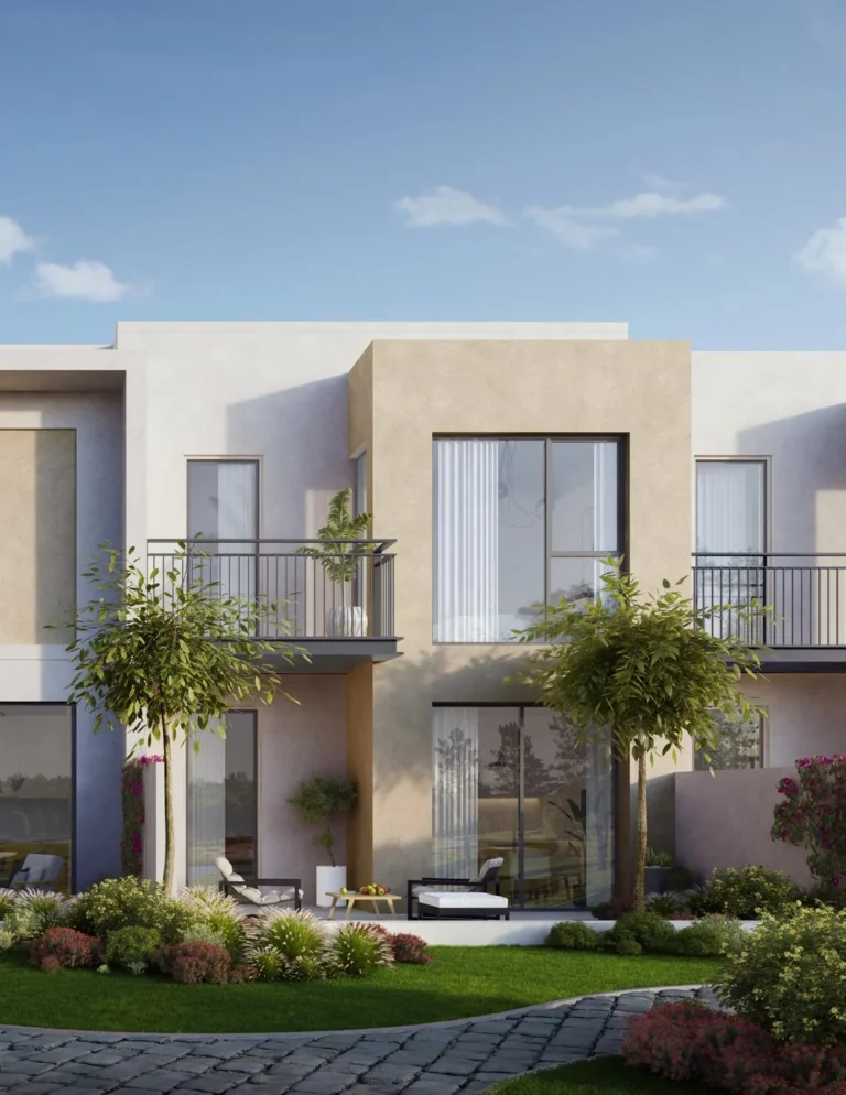
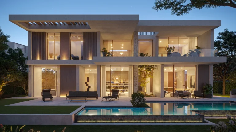
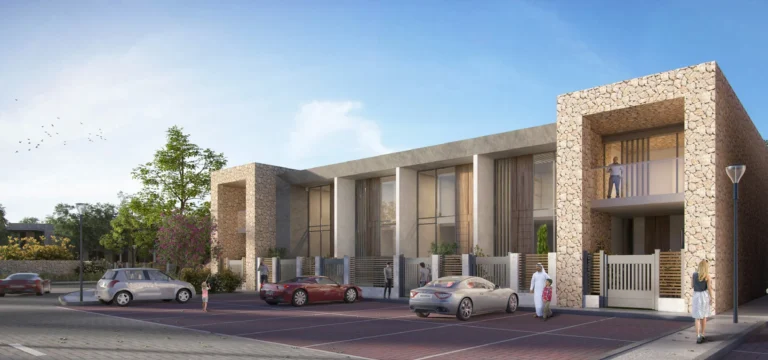
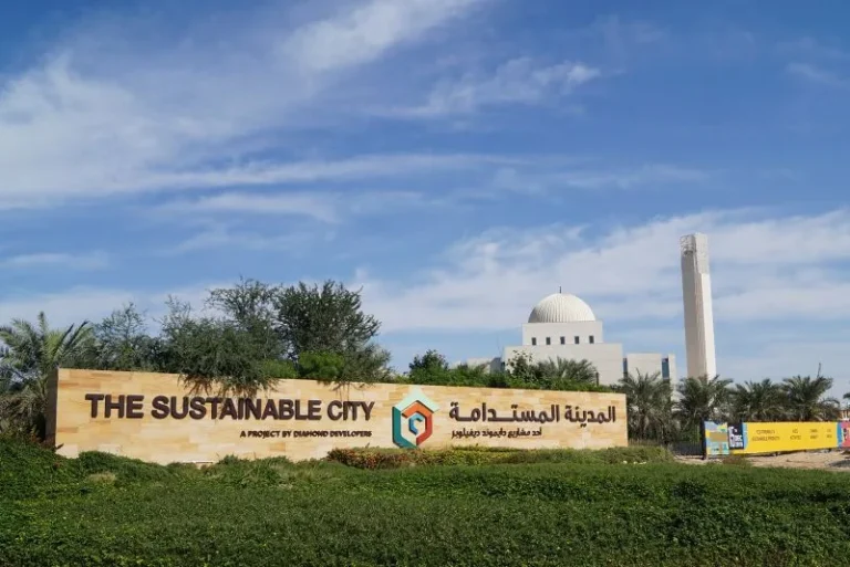
Cluster 4 is a defined subcommunity inside The Sustainable City, located in Wadi Al Safa 7 of DubaiLand. It occupies a planned position within the parent community known as The Sustainable City and is identified on maps by its coordinates (25.031432, 55.281666). The entry in the community hierarchy places Cluster 4 under The Sustainable City and links it to the broader DubaiLand area; it is listed in local property databases with dedicated pages for reference.
Cluster 4 is a residential cluster within The Sustainable City. The official site path places it in Dubai > DubaiLand > Wadi Al Safa 7 > The Sustainable City > Cluster 4. As a subcommunity it is one of the named clusters used by local planners and property platforms to identify a specific neighbourhood pocket inside The Sustainable City estate. Coordinates: latitude 25.031432, longitude 55.281666.
The parent community—The Sustainable City—frames the character and planning context of Cluster 4 through its overall layout, access routes and community infrastructure. Cluster 4 is referenced on property portals and local listings by its slug and post identifiers. For administrative and search purposes the English page is recorded under the slug “cluster-4”.
Public transport: the nearest Dubai Metro station on record is on the Red Line (station code R73). The straight-line or mapped distance to that station is listed as 12,025 metres; this distance is not considered walkable for routine daily commuting and indicates the need for car, community shuttle or feeder transport to reach the metro network.
Driving distances from Cluster 4 to key Dubai locations (rounded):
Local driving examples quoted in listings place typical travel times from Cluster 4 at approximately: 27 minutes to The Dubai Mall, 25 minutes to Palm Jumeirah, 24 minutes to Burj Al Arab and 29 minutes to The Walk JBR. Airport drives are listed as roughly 33 minutes to Dubai International Airport (DXB) and about 29 minutes to the new Al Maktoum International Airport (DWC). These times are indicative and depend on route choice and traffic conditions.
Cluster 4 is catalogued as a subcommunity rather than a single development or tower. Records for projects on site and projects nearby show counts maintained in property listings; the cluster itself is managed and presented as part of the broader Sustainable City scheme. There are no individually listed on-site projects attached to Cluster 4. The cluster is addressed and searchable by its community identifiers within property portals.
The Sustainable City master context shapes available infrastructure, access corridors and the planning envelope around Cluster 4. Nearby neighbourhoods and community facilities within The Sustainable City feed into the daily lifestyle options for residents; the cluster benefits from the estate-level amenities and routing even where specific project names are not attached to the cluster record.
Education: community listings reference several schools in close proximity to Cluster 4. Two schools named in local information are GEMS Metropole School Al Waha at approximately 0.3 km and Fairgreen International School at approximately 0.6 km from the cluster. These recorded distances indicate short local journeys for families considering routine school runs within the Sustainable City area.
Points of interest: Global Village is recorded as about 5.0 km away, providing a nearby entertainment and events destination. Other major urban destinations across Dubai—shopping districts, business districts and popular coastal leisure areas—are listed by distance in the transport section above and are reachable by car within the time estimates provided by local sources.
Cluster 4 is suitable for people who want to live within The Sustainable City estate and require relatively straightforward road access to major Dubai centres. The cluster’s proximity to community schools at short distances makes it relevant to families who prioritize nearby education options. Its position in DubaiLand places it within commuting range of central and coastal employment hubs when using a private vehicle or community transport links.
Because the recorded nearest metro station is over ten kilometres away, the location better suits households that expect to use a car, community shuttle or other motorised transport for regular travel rather than relying on walking to rail. Those looking for a defined community address inside The Sustainable City and close links to estate-level amenities will find Cluster 4 meets that brief.
How far is Cluster 4 from Downtown Dubai and The Dubai Mall?
Recorded distances place Burj Khalifa / Downtown Dubai at about 18.4 km and The Dubai Mall at about 18.5 km from Cluster 4.
Which metro line serves the area?
The nearest recorded metro access is on the Red Line (station code R73). The distance to that station is listed as 12,025 metres and is marked as not walkable for routine use.
What schools are nearby?
Local listings cite GEMS Metropole School Al Waha at roughly 0.3 km and Fairgreen International School at roughly 0.6 km from Cluster 4.
Are there projects or developments specifically attached to Cluster 4?
Cluster 4 is recorded as a subcommunity within The Sustainable City and is handled as part of the estate’s cluster framework. Project identifiers and counts are maintained in property datasets that reference this cluster as a searchable community unit.
Machine-readable mirrors of this page: Markdown · JSON. Every field carries its origin.
How to cite:Cluster 4 — Continental Club Property, 2026-09-02, https://continentalclub.ae/location/cluster-4/
Dubai market as a whole: prices, transactions and trends (DLD data) →
Largest management companies in the area: Dh Community Management (3), Arncon Property Management Llc Dubai Branch (3).
Check any building’s service charge → All communities
RERA-approved 2026 budgets from the DLD service charge index (Mollak); residential buildings. Rate is AED per sq ft per year; YoY compares the same buildings in 2025.
Neighbouring areas and sub-communities to compare location and prices.