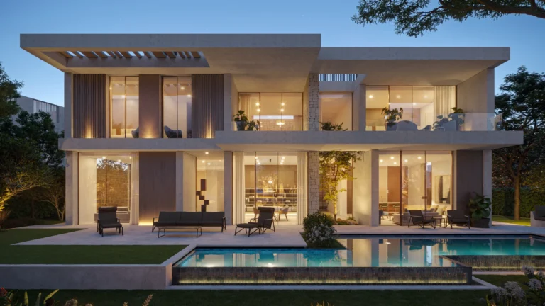
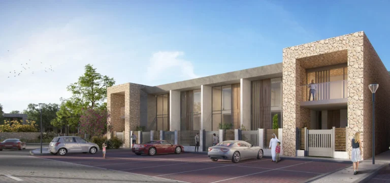
Cluster 3 is a defined subcommunity within The Sustainable City, located in the Wadi Al Safa 7 area of DubaiLand. It forms part of the wider master-planned Sustainable City community in Dubai’s western suburban residential belt. Its coordinates are 25.03213°N, 55.279744°E.
Cluster 3 is part of The Sustainable City neighbourhood in Wadi Al Safa 7, DubaiLand. It is one of several numbered clusters that make up the wider community.
The cluster sits within a planned residential setting, sharing the internal road network and pedestrian routes of The Sustainable City.
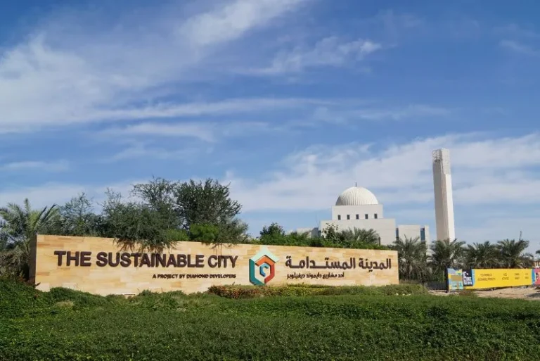
The nearest Dubai Metro Red Line reference, R73, is approximately 11.8 km away, making private transport or community shuttle services more practical for daily travel.
Driving distances to key Dubai destinations include:
Typical driving times are around 26 minutes to Dubai Mall, 24 minutes to Palm Jumeirah, 23 minutes to Burj Al Arab and 27 minutes to The Walk at JBR. Dubai International Airport is around 31 minutes away by car, while Al Maktoum International Airport is approximately 30 minutes away. Travel times may vary with traffic conditions.
Cluster 3 shares the master-planned setting and infrastructure of The Sustainable City. The cluster designation is used to identify its homes, streets and local services within the wider community.
Schools close to Cluster 3 include GEMS Metropole School Al Waha, approximately 0.1 km away, and Fairgreen International School, around 0.6 km away. This proximity to educational facilities is a notable feature for families considering the area.
Cluster 3 may appeal to buyers and renters seeking a home within The Sustainable City, particularly families who value close access to schools. Its Wadi Al Safa 7 location also places central Dubai, coastal leisure destinations and major shopping areas within driving range.
The cluster is particularly suited to residents who drive or use community transport for everyday journeys, including families and professionals seeking the planned lifestyle environment of The Sustainable City.
Where is Cluster 3 located?
Cluster 3 is a subcommunity of The Sustainable City in Wadi Al Safa 7, DubaiLand. Its coordinates are 25.03213°N, 55.279744°E.
How close is public transport?
The nearest Dubai Metro Red Line reference, R73, is approximately 11.8 km from Cluster 3, so private vehicles or community transport are generally more convenient.
What are the nearest major destinations and how far are they?
The Dubai Mall and Burj Khalifa are both 18.4 km away, while Dubai Marina is 15.0 km away, Palm Jumeirah is 16.7 km away, DXB is 26.1 km away and Global Village is 5.0 km away. Dubai Mall is around a 26-minute drive, while the two main airports are approximately 30–31 minutes away by car.
Are there schools nearby?
Yes. GEMS Metropole School Al Waha is approximately 0.1 km away, and Fairgreen International School is around 0.6 km from Cluster 3.
Dubai market as a whole: prices, transactions and trends (DLD data) →
Largest management companies in the area: Dh Community Management (3), Arncon Property Management Llc Dubai Branch (3).
Check any building’s service charge → All communities
RERA-approved 2026 budgets from the DLD service charge index (Mollak); residential buildings. Rate is AED per sq ft per year; YoY compares the same buildings in 2025.
Nothing found. Try relaxing the filters.
Neighbouring areas and sub-communities to compare location and prices.