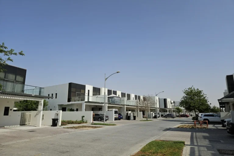
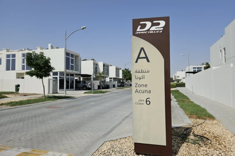
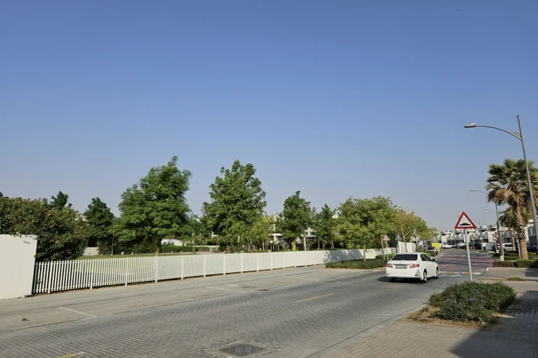
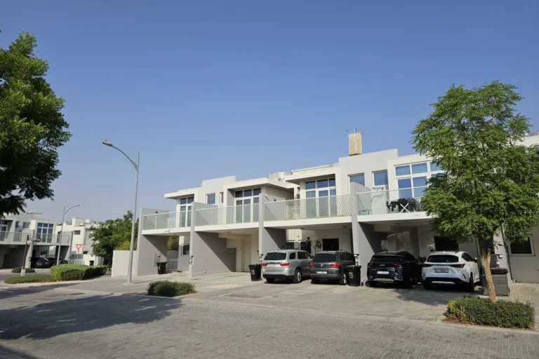
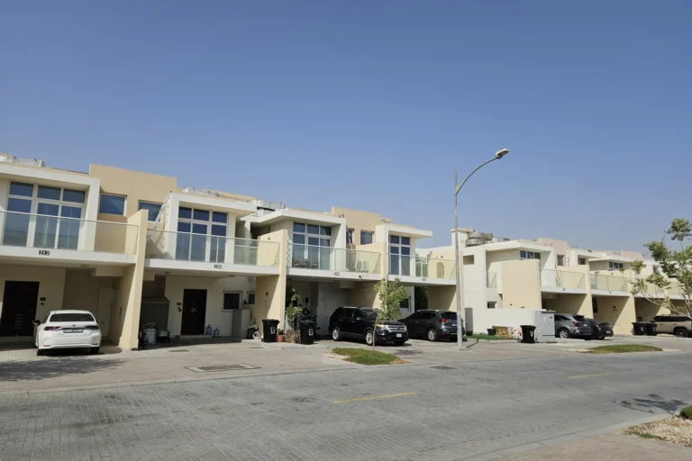
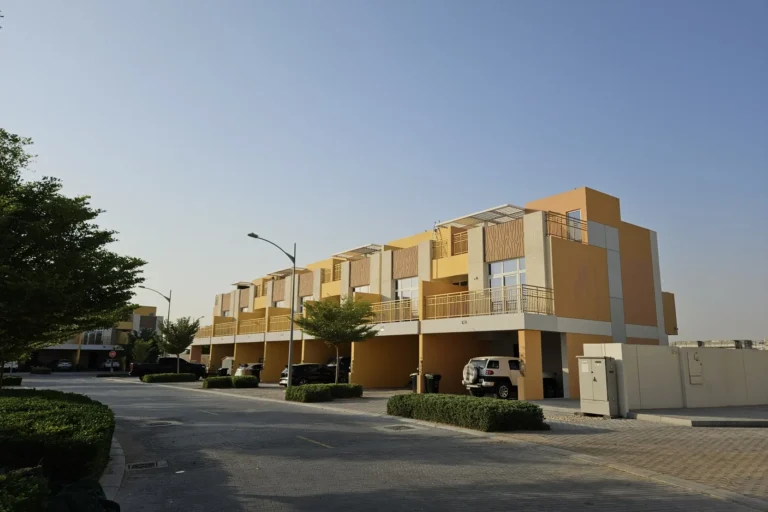
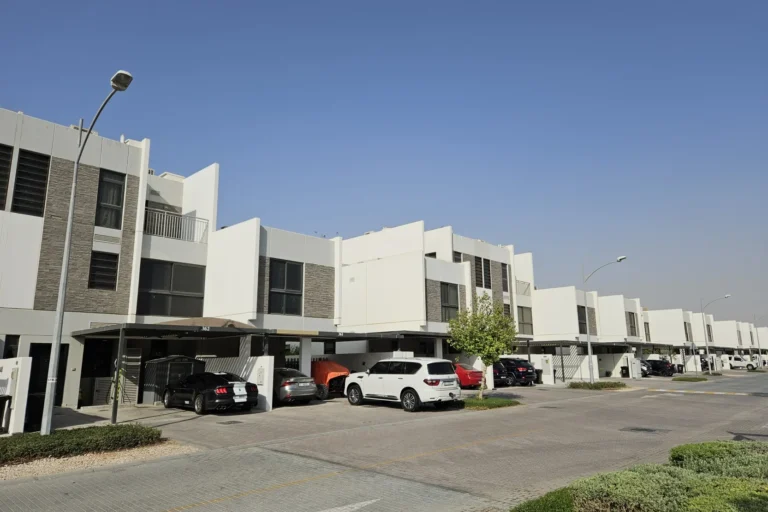
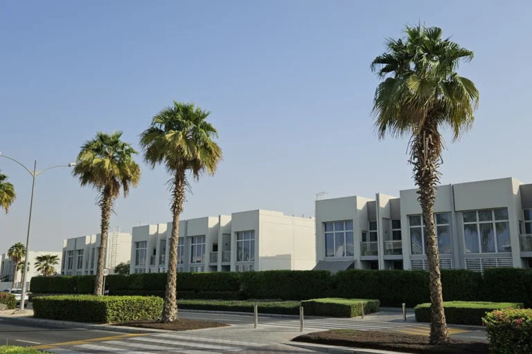
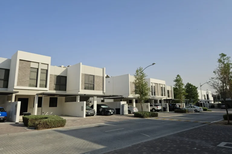
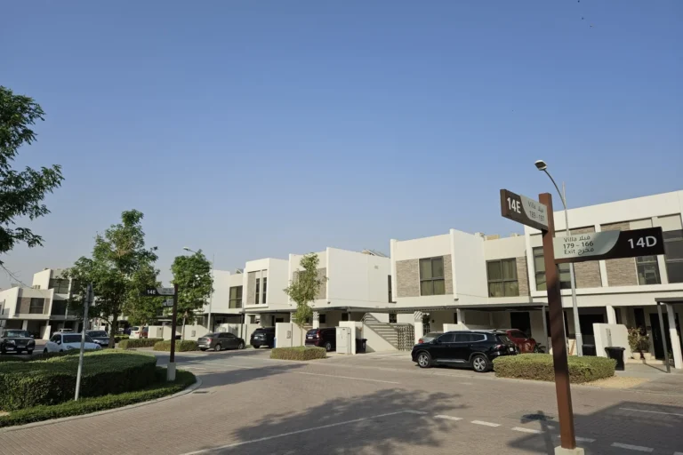
Claret is a subcommunity within Damac Hills 2 in Dubai, registered as Claret. It sits in the north‑western quadrant of the city’s suburban ring and is part of the Damac Hills 2 masterplan. The area is identified as a distinct residential enclave and appears on developer masterplans published at launch. The community has recorded sales transactions monitored by the Dubai Land Department and other open data sources; there are 50 sale transaction records associated with Claret.
Claret is officially listed as a SUBCOMMUNITY in the Damac Hills 2 portfolio. The community is addressed within the wider Damac Hills 2 neighbourhood and is referenced on maps and planning documents under the site path Dubai > Damac Hills 2 > Claret. Coordinates for Claret are latitude 24.996122, longitude 55.392566, which places it inside the planned suburban area developed around the Damac Hills 2 concept.
As a subcommunity, Claret forms one element of the larger Damac Hills 2 development pattern. Information published at launch included an original masterplan by the developer; that masterplan remains the primary reference for the community’s layout and relationship to adjacent neighbourhoods.
Claret is positioned at a distance from Dubai’s metro network: the nearest Red Line metro code is R73, at a measured distance of 23,231 metres from the community boundary (not a walkable connection). The area is therefore served primarily by road transport and private vehicles, with journeys to central destinations usually made by car or taxi.
Measured straight-line or driving distances from Claret to key Dubai locations are as follows (rounded):
Typical driving times reported in local property summaries give practical context for commuting by car: roughly 38 minutes to Dubai Mall, around 44 minutes to Palm Jumeirah, about 43 minutes to Burj Al Arab and approximately 48 minutes to The Walk at JBR. Both Dubai International Airport (DXB) and Al Maktoum International Airport (DWC) are reported to be roughly a 39‑minute drive from Claret, depending on traffic and route choice.
Claret is recorded without any specific projects listed on the immediate site in the provided registry: there are no projects_on_site entries and no projects_nearby entries in the supplied data set. The community should therefore be understood as a named subarea within Damac Hills 2 rather than a single building or branded complex that appears in the project registries returned by the source used here.
The original developer masterplan published at launch is the principal document referenced for the community layout. Local property portals and public records have captured transactional activity: 50 sale transaction records for Claret. For project-level detail, apartment or villa listings and their associated developer statements, consult the developer’s materials or the relevant estate agents advertising properties in Damac Hills 2 and its subcommunities.
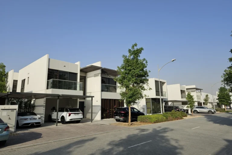
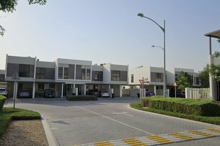
Claret’s position within Damac Hills 2 places it in a suburban, planned residential context aimed at households seeking accommodation outside the immediate city centre. Typical occupier profiles for subcommunities of this type include:
For those requiring nearby schooling, the local property summary referenced a nearest school example located at approximately 9.4 km from Claret: Dubai British School, Mira. This gives an indication of education options in the broader district rather than within Claret itself.
Claret’s transport profile is road‑oriented. Given the measured distance to the Red Line station and the kilometre values to central points, daily travel routines for residents typically assume private car use or ride services. The community’s proximity to Global Village (about 11.9 km) places it within easy reach of seasonal entertainment and leisure offerings on the city’s outskirts, while access to major retail and business hubs is a medium‑distance drive.
Publicly available property transaction records and structured portal listings are the primary sources of market data for Claret. For buyers, renters or advisors looking for unit‑level information, agent listings and Dubai Land Department records remain the authoritative references cited in public summaries.
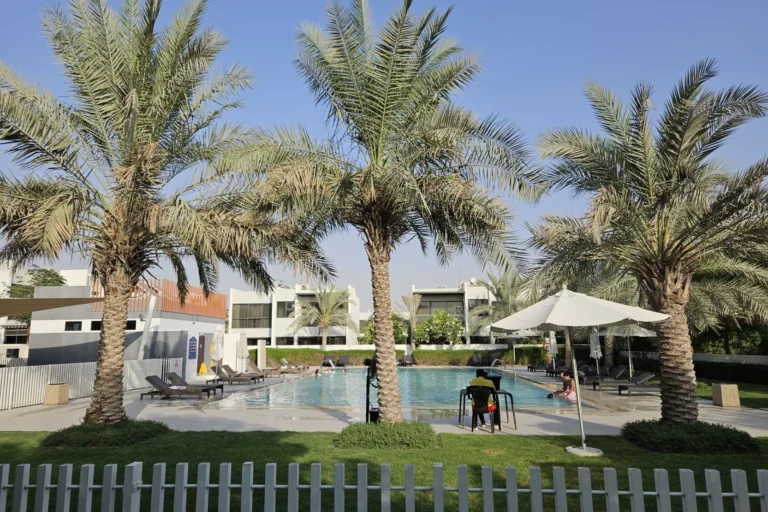
Q: Where is Claret located within Dubai?
Claret is a subcommunity inside Damac Hills 2, located in the northern part of the planned suburban developments west of Dubai’s central districts. It is identified in mapping and developer masterplans by name and coordinates.
Q: How far is Claret from the nearest metro?
The nearest Red Line metro reference is station code R73 at a distance of 23,231 metres from Claret; this connection is not considered walkable, so car travel is the common mode of access to the wider metro network.
Q: What commute times and distances should I expect?
Measured distances to central Dubai locations range from about 11.9 km to Global Village up to 28.7 km to Dubai International Airport. Reported driving times from local property summaries are approximately 38 minutes to Dubai Mall and around 39 minutes to both DXB and DWC airports, subject to traffic.
Q: Are there projects or developments inside Claret?
In the provided registry and project lists there are no projects_on_site and no projects_nearby entries associated with Claret. The area is recorded as a named subcommunity within the Damac Hills 2 masterplan and has recorded sales transactions in public registers (50 sale records referenced).
For up‑to‑date unit listings, planning changes or project announcements, consult developer releases, the Dubai Land Department records and local estate agents active in Damac Hills 2. Additional mapping and community summaries are available through local property portals referenced in public materials.
Machine-readable mirrors of this page: Markdown · JSON. Every field carries its origin.
How to cite:Claret — Continental Club Property, 2026-08-30, https://continentalclub.ae/location/claret/
Dubai market as a whole: prices, transactions and trends (DLD data) →
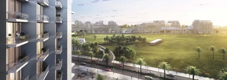
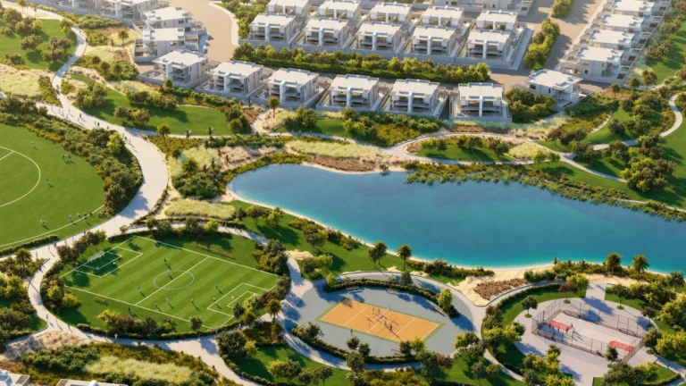


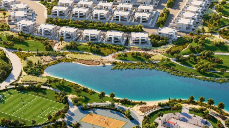


Neighbouring areas and sub-communities to compare location and prices.