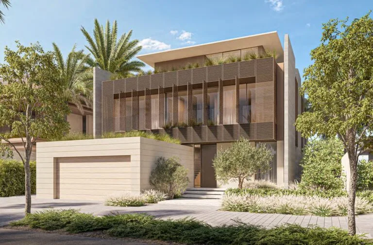
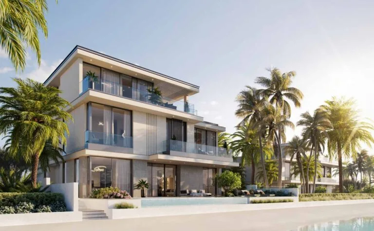
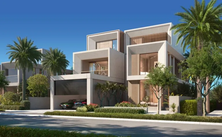
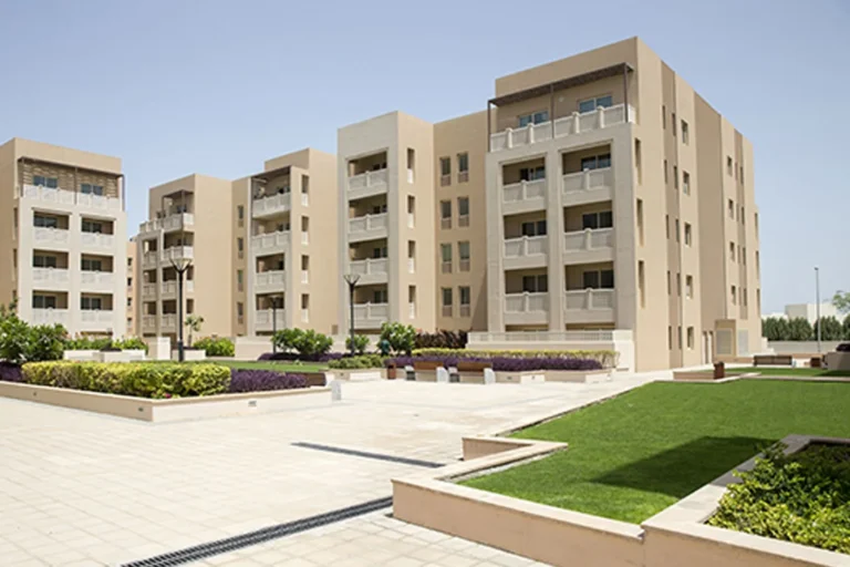
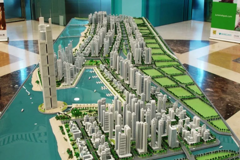
Palm Boulevard is a named sector within the Dubai Waterfront area, under Hessyan First. It forms part of the broader Dubai Waterfront master plan, with a coastal setting and road connections to major Dubai destinations.
Palm Boulevard sits within Dubai Waterfront, a large waterfront planning area in Hessyan First. It is part of the Dubai Waterfront master layout rather than an independent free-standing community, with road links to prominent destinations across Dubai.
Palm Boulevard is within driving distance of several key Dubai destinations. Approximate journey times by car include:
The nearest Metro reference is the Red Line, station code R42, around 8,651 metres away. Metro access will generally require a short drive or connecting road transport service rather than a direct walk.
Palm Boulevard forms part of the Dubai Waterfront masterplan, with nearby attractions, parks, beaches, golf clubs and cinemas contributing to the wider area.
Ghaf Private School is the closest named school, at approximately 13.8 km away.
As part of a larger waterfront planning area, Palm Boulevard may appeal to:
How long does it take to reach Dubai Mall from Palm Boulevard?
Dubai Mall is roughly 40 minutes away by car.
Is there a nearby metro station?
The Red Line, station code R42, is approximately 8,651 metres away. Reaching the Metro typically involves a short vehicle trip or transfer service.
What are the airport drive times?
Dubai International Airport (DXB) is roughly 47 minutes away by car, while Al Maktoum International Airport is around 31 minutes away.
Are there schools or amenities near Palm Boulevard?
Ghaf Private School is approximately 13.8 km away. The wider area includes attractions, parks, beaches, golf clubs and cinemas.
Machine-readable mirrors of this page: Markdown · JSON. Every field carries its origin.
How to cite:Palm Boulevard — Continental Club Property, 2026-07-30, https://continentalclub.ae/location/palm-boulevard/
Dubai market as a whole: prices, transactions and trends (DLD data) →
Neighbouring areas and sub-communities to compare location and prices.