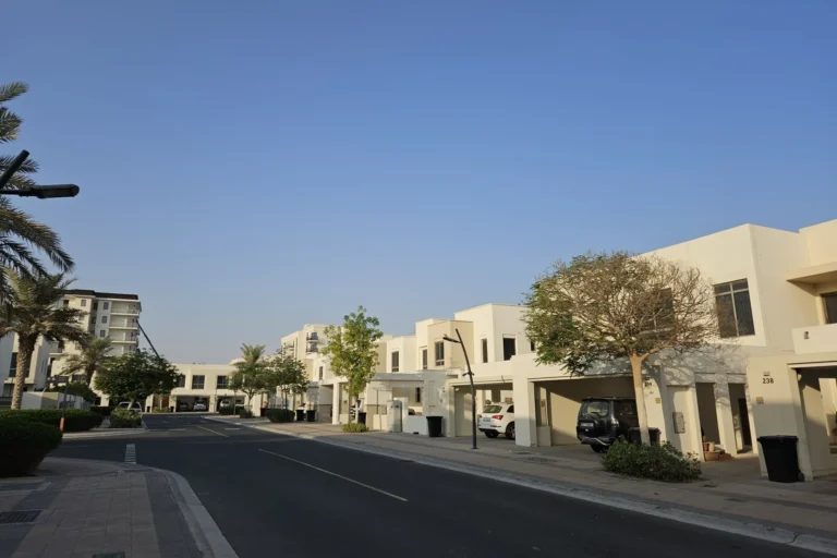
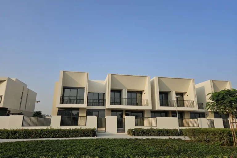
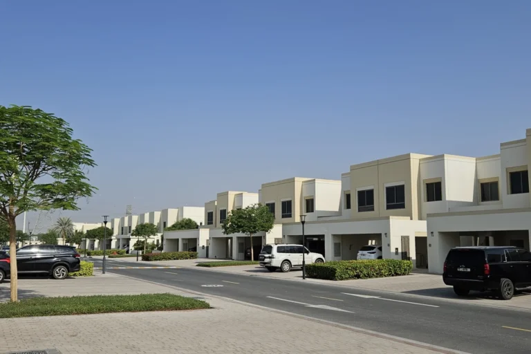
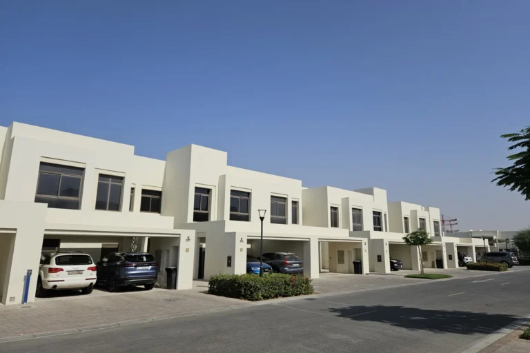
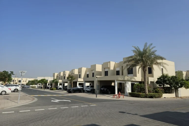
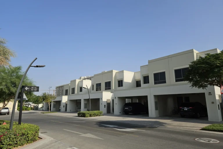
Main Square is a neighbourhood within Town Square in the DubaiLand area of Dubai. It was conceived as part of the masterplan for Town Square and is presented in developer materials with original concept images and layouts. The locality is represented in public transaction records and appears in property databases that reference official Dubai Land Department disclosures.
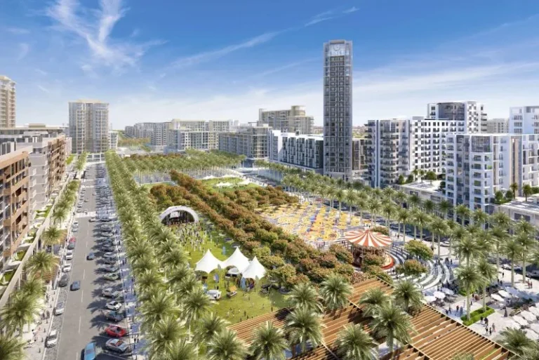
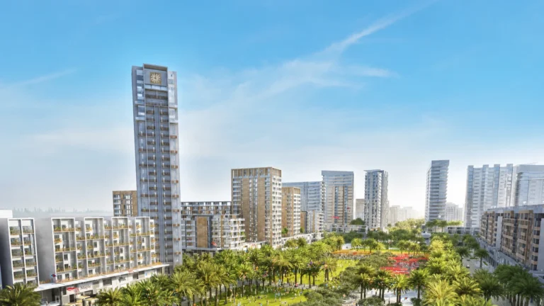
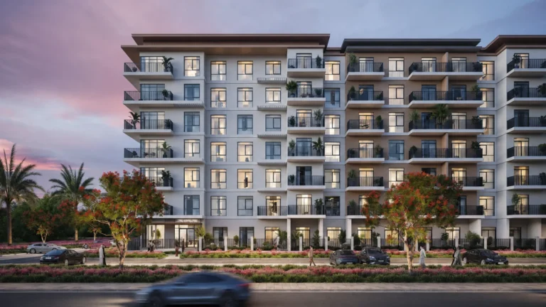
Main Square forms a component of the broader Town Square development in the DubaiLand district. It is identified in planning material and marketing documentation by a distinct name and is shown on maps accompanying the original masterplan. The available source material includes images of initial concept designs intended to illustrate the developer s vision for the area at launch. Those images are retained for comparison with later progress and as a reference to the original urban intent.
The neighbourhood is part of a larger, planned suburban pocket within Dubai. Its positioning inside Town Square gives it the characteristics commonly associated with masterplanned communities: a defined plan for streets, landscaping and amenity distribution as set out at launch. The masterplan and the concept imagery are published alongside other factual material that supports public understanding of the area s intended layout.

Main Square is served by road access that provides direct driving links to a number of major Dubai destinations. Published travel-time estimates indicate that, by car, the neighbourhood is roughly 28 minutes from Dubai Mall, about 26 minutes from Palm Jumeirah, approximately 25 minutes from Burj Al Arab and around 30 minutes to The Walk JBR. In respect of air travel, driving time estimates place Dubai International Airport (DXB) at about 31 minutes and Al Maktoum International Airport at roughly 30 minutes.
Public-transport connections include the Dubai Metro Red Line, with the relevant reference point shown as station code R73 at an approximate straight-line or mapped distance of 12,873 metres from Main Square. That distance is described in source material as not walkable. Roadward access and highway connections are therefore the principal means of reaching central Dubai locations from Main Square.
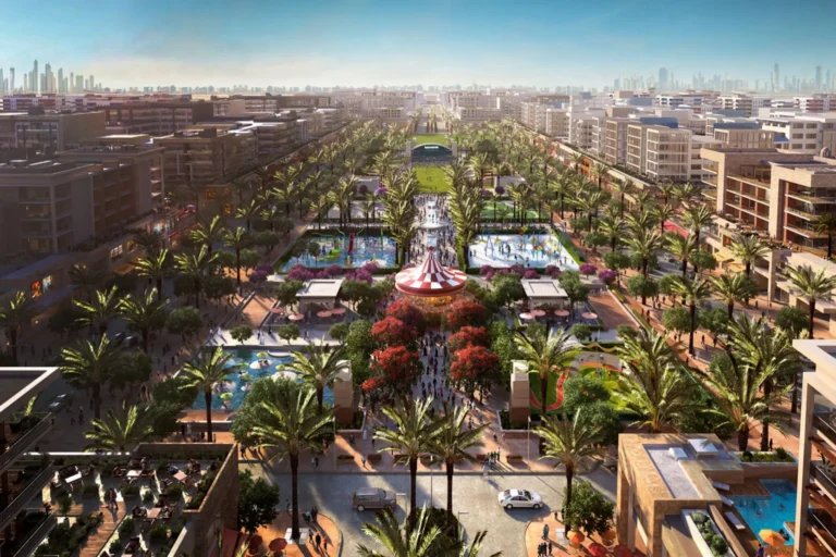
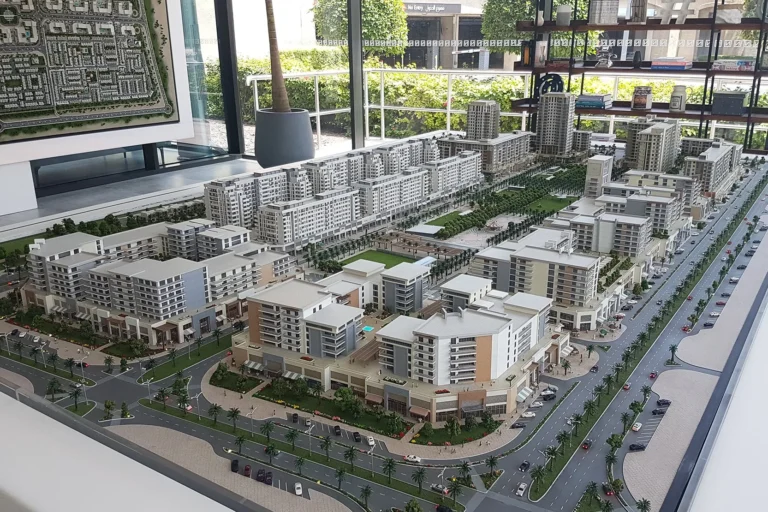
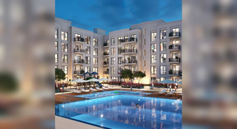
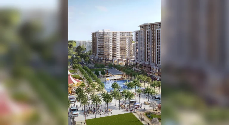
The original masterplan and initial concept designs for Main Square are retained in the developer s published material and are used as a baseline for comparison with subsequent construction and landscaping. It is common practice for built outcomes to undergo revisions from early plans, and the available image set is presented precisely to enable such comparisons between concept and completion.
Official transaction summaries referenced in public property datasets note a number of recorded sale transactions for Main Square. The repository of public records indicates that there are 50 sale transaction records available for the area as reported under the Dubai Land Department s open data releases. These records are maintained and updated through routine data publications operated on working weekdays.
The factual material gathered for Main Square includes maps and summaries of nearby attractions, parks and leisure locations published for contextual reference. That material is assembled to support buyers, renters and advisors who require a reliable factual overview of placemaking, recorded transactions and the original design intent for the neighbourhood.
Published sources identify nearby education options by name and approximate proximity. Two schools cited in reference material are Dubai British School Mira, listed at about 1.0 km, and Fairgreen International School, listed at about 2.8 km. These named institutions are included in the factual summary for Main Square and are part of the locational context used by families and community planners.
Additional lifestyle-information partnerships are noted in the community briefs for the area; those partnerships provide an overview of current leisure offers such as evening events and weekend brunches in the wider vicinity. Maps accompanying the community material also summarise local parks, cinemas, golf clubs and beaches for orientation.

Given its inclusion in a masterplanned district and the proximity to named schools, Main Square is of interest to buyers and tenants seeking a suburban setting within Dubai that is tied to a larger community plan. The driving connections to central destinations and to both major airports make it appropriate for households and residents who rely primarily on private transport for daily travel across the city.
The presence of original planning material and recorded transaction datasets makes the area relevant to those who want to compare early design intent with realised outcomes. The neighbourhood s positioning within Town Square also appeals to residents who prioritise structured amenity distribution and the predictability of a planned community environment.
The reference point on the Red Line is designated R73 and is recorded at about 12,873 metres from Main Square; that distance is noted as not walkable in the available material.
Published estimates place Main Square at roughly 28 minutes to Dubai Mall, about 26 minutes to Palm Jumeirah, approximately 25 minutes to Burj Al Arab and around 30 minutes to The Walk JBR by car. Airport driving times are given as approximately 31 minutes to Dubai International Airport and about 30 minutes to Al Maktoum International Airport.
Two named schools appear in the locality summary: Dubai British School Mira at about 1.0 km and Fairgreen International School at about 2.8 km, as cited in public community materials.
Transaction records referenced for Main Square are drawn from databases that mirror the Dubai Land Department s open data releases; the public summaries note 50 sale transaction records available for the area as part of those releases.
For further factual material and to view the original masterplan imagery and recorded transaction summaries, consult the public property data sources cited in community documentation and the developer s published concept materials accompanying the Town Square masterplan.
Dubai market as a whole: prices, transactions and trends (DLD data) →
Largest management companies in the area: Nshama Community Management Owned By Nshama Properties One Person (21).
Check any building’s service charge → All communities
RERA-approved 2026 budgets from the DLD service charge index (Mollak); residential buildings. Rate is AED per sq ft per year; YoY compares the same buildings in 2025.






Nothing found. Try relaxing the filters.
Neighbouring areas and sub-communities to compare location and prices.