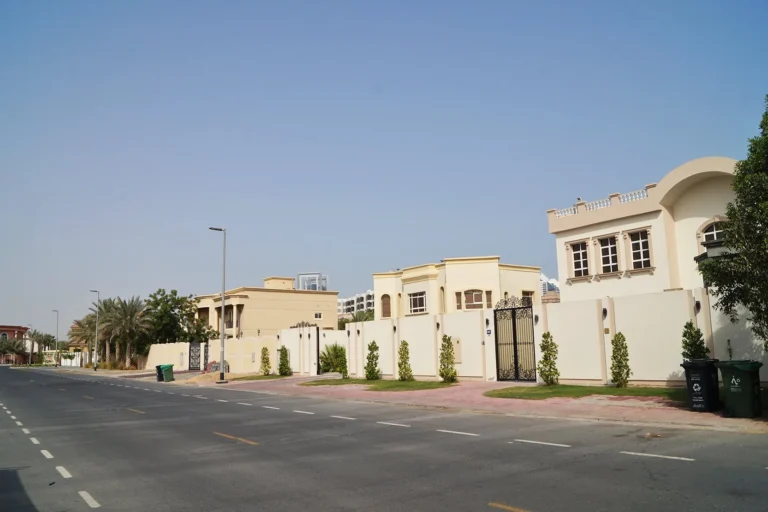
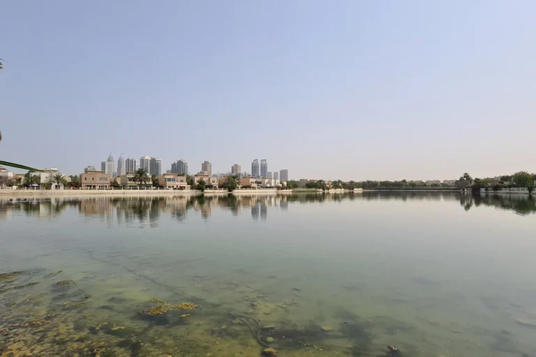
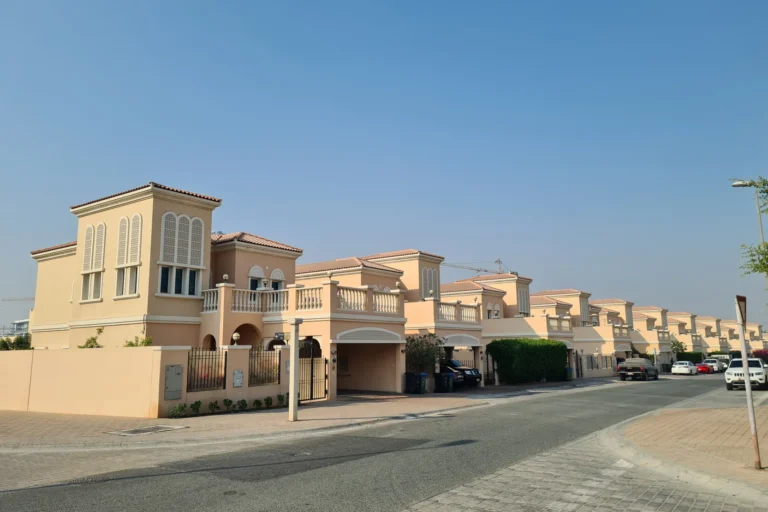
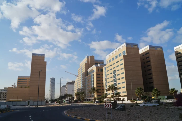
Jebel Ali Racecourse Redevelopment is a district of Dubai, 3.1 km from Dubai Internet City Metro Station.
The Jebel Ali Racecourse Redevelopment is a planned urban district centred on the former Jebel Ali racetrack. The masterplan reimagines the site as a network of residential and mixed-use neighbourhoods organised around a very large central park, while retaining upgraded equestrian facilities that preserve the location’s horse-racing heritage.
The project covers a five square kilometre site historically occupied by the Jebel Ali Racecourse. The redevelopment transforms the racetrack area into a sequence of urban islands arranged around a continuous central park. Covering approximately 16 million square feet, the park is intended to extend into surrounding areas and create a strong network of public green space across the district.
The scheme aligns with the Dubai 2040 Urban Master Plan priorities, with an emphasis on expanding green space, improving wellbeing and increasing environmental resilience. The original racetrack is being preserved and upgraded within the layout, alongside enhanced equestrian facilities that maintain the site’s equestrian identity.
Transport planning combines existing and future connections with dedicated internal mobility systems. The nearest Dubai Metro station on the Red Line, R34, is approximately 3,084 metres from the site and is not typically within walking distance. Dedicated cycling lanes, shaded pedestrian zones and automated shuttle services are planned to connect neighbourhoods internally and link them with future public transport nodes.
Two schools are close to the site: Lycée Français Jean Mermoz (South Campus), around 1.2 km away, and Dubai International Academy Emirates Hills, around 1.3 km away.
The masterplan was prepared by Bjarke Ingels Group (BIG) as lead designer in partnership with ARM Holding. Spanning five square kilometres, the redevelopment comprises interconnected residential and mixed-use neighbourhoods that increase in density toward the central park.
Key design and placemaking features include:
The district is planned for phased delivery across housing, education, hospitality and public infrastructure.
Bjarke Ingels Group developed the masterplan in collaboration with ARM Holding. The partnership and initial plan for the five square kilometre transformation were announced at a signing ceremony attended by Mohammad Saeed Al Shehhi, CEO of ARM Holding, and Bjarke Ingels, Founder and Creative Director of BIG. Construction is scheduled to begin in early 2026, followed by phased progress across the various elements of the development.
The combination of expansive parkland, preserved equestrian facilities and district-scale development makes the location relevant for a range of groups:
When does construction start?
Construction is scheduled to begin in early 2026.
Who prepared the masterplan?
The masterplan was led by Bjarke Ingels Group (BIG) in partnership with ARM Holding.
How large is the central park?
The central park covers roughly 16 million square feet and serves as the district’s main public space.
How close is the nearest metro?
The nearest Red Line metro station, R34, is about 3,084 metres from the site. Automated shuttles and cycling lanes are planned to support local connectivity.
Machine-readable mirrors of this page: Markdown · JSON. Every field carries its origin.
How to cite:Jebel Ali Racecourse Redevelopment — Continental Club Property, 2026-07-30, https://continentalclub.ae/location/jebel-ali-racecourse-redevelopment/
Dubai market as a whole: prices, transactions and trends (DLD data) →
Neighbouring areas and sub-communities to compare location and prices.