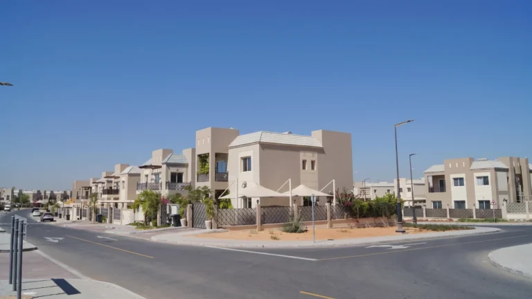
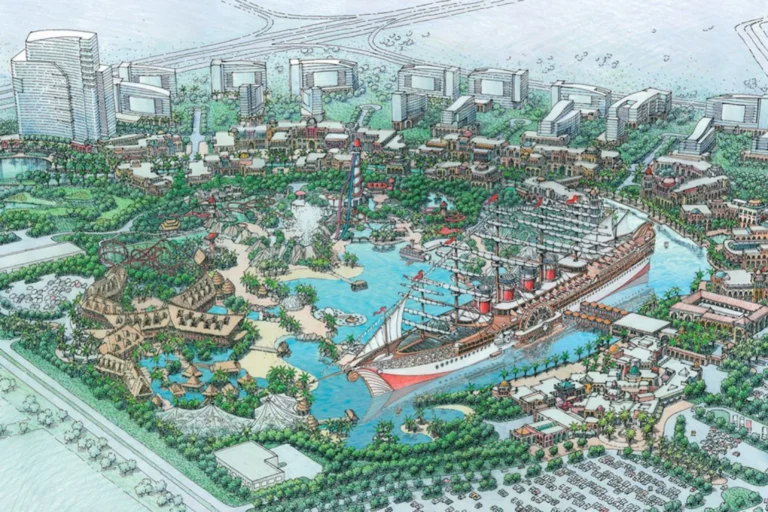
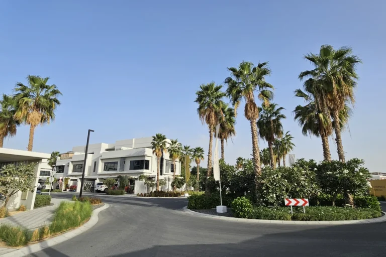
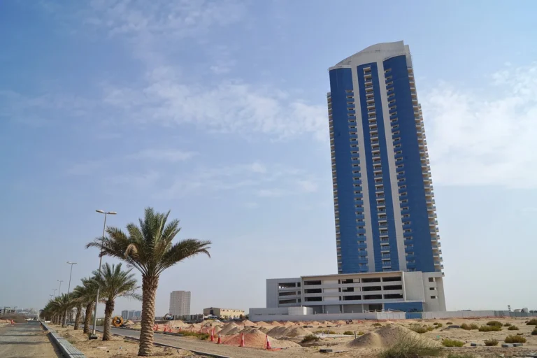
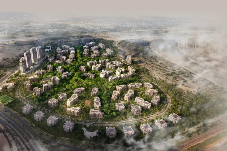
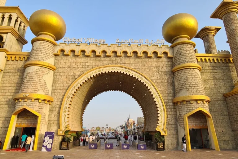
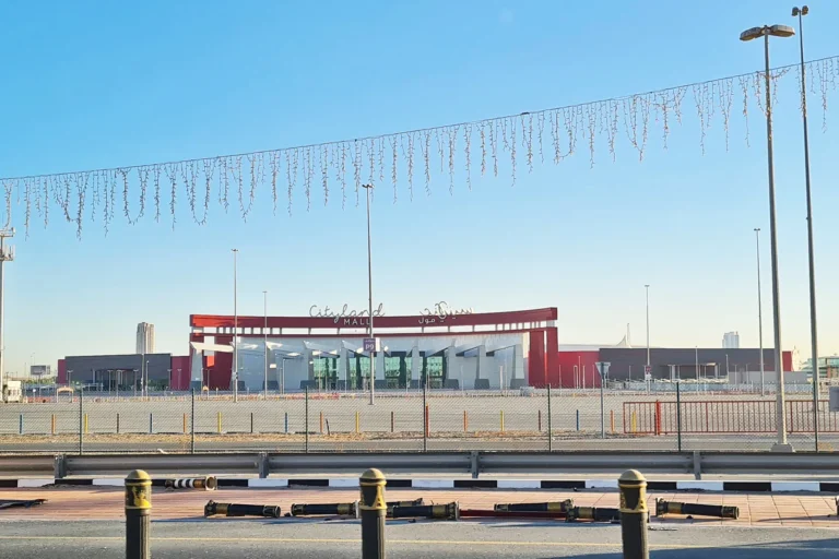
Cityland Mall is a named location within the DubaiLand master area, specifically in Wadi Al Safa 4 and adjacent to the Global Village precinct. The entry is recorded as a tower-type site and sits roughly 0.8 km from the Global Village site boundary. Coordinates: 25.066782 N, 55.299589 E.
Cityland Mall forms part of the DubaiLand cluster of developments on the western side of Dubai. The official site path situates it under Dubai > DubaiLand > Wadi Al Safa 4 > Cityland Mall, with Global Village identified as the parent area. The location is positioned to serve residents and visitors moving between established leisure and residential districts on the city’s western axis and the wider Dubai road network.
Public transport: the nearest recorded metro line is the Red Line (code R31). The documented distance to that metro point is 11,384 metres; this is not classified as walkable in the supplied data, indicating a requirement for a short drive or feeder transport to reach the Red Line station.
Road distances from Cityland Mall to central Dubai points (rounded as provided):
Typical driving times referenced for journeys from this location indicate approximate durations under normal traffic conditions: around 21 minutes to Dubai Mall, about 31 minutes to Palm Jumeirah, roughly 30 minutes to Burj Al Arab, and c. 35 minutes to The Walk JBR. Airport transfers are referenced as roughly 22 minutes to DXB and about 33 minutes to Al Maktoum (DWC); these estimates reflect typical road speeds and may vary with traffic.
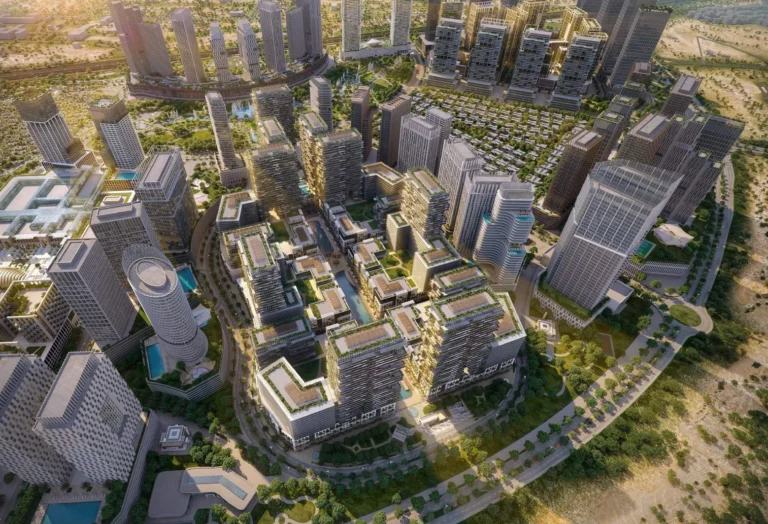
The site entry classifies Cityland Mall as a tower-type property within the DubaiLand context. Its immediate context is mixed urban fabric associated with DubaiLand and the Global Village precinct, which is a major seasonal attraction and event area. The supplied records do not list individual projects on the site entries provided; the recorded project context emphasises the location within Wadi Al Safa 4 and proximity to Global Village.
As a point of orientation, Cityland Mall occupies a position that links the DubaiLand residential zones with arterial roads toward central Dubai, retail hubs and coastal districts. The location’s coordinates place it in the western sector of the city where larger-format retail, leisure and event uses are commonly positioned alongside residential plots in DubaiLand.
Cityland Mall’s location and transport profile make it relevant to several user groups:
How far is Cityland Mall from Global Village?
The recorded distance to Global Village is around 0.8 km.
Which metro line serves the area?
The nearest documented metro connection is the Red Line (station code R31), at a distance of 11,384 metres from the Cityland Mall location; that distance is noted as not walkable in the supplied data.
How long does it take to drive to major Dubai destinations?
Reference driving durations cited for this location include roughly 21 minutes to The Dubai Mall, about 31 minutes to Palm Jumeirah and roughly 22 minutes to Dubai International Airport (DXB), subject to traffic conditions.
Are there schools close to Cityland Mall?
Yes. The supplied information lists Dunecrest American School at approximately 2.7 km and Victory Heights Primary School City of Arabia at approximately 3.2 km from the Cityland Mall location.
Machine-readable mirrors of this page: Markdown · JSON. Every field carries its origin.
How to cite:Cityland Mall — Continental Club Property, 2026-07-30, https://continentalclub.ae/location/cityland-mall/
Dubai market as a whole: prices, transactions and trends (DLD data) →
Neighbouring areas and sub-communities to compare location and prices.