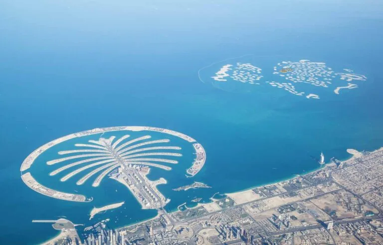
Venezuela Island is one of the named parcels in the World Islands grouping off the coast of Dubai. The entry for this location compiles available factual information used by property professionals: mapped position within the World Islands, transport references, a summary of proximity to local services recorded in the database, and procedural notes on enquiries and listings as handled through the portal.
Venezuela Island forms part of the World Islands collection, a set of man-made isles referenced in the Dubai location hierarchy as Dubai > World Islands > Venezuela Island. The island is listed in the property database with a dedicated location page. The map attached to the record provides the primary spatial reference and is accompanied by summaries of nearby attractions, parks, beaches, golf clubs and cinemas where these are recorded.
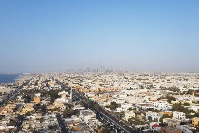
The structured record includes a metro reference for broader orientation. The nearest Dubai Metro line recorded is the Red Line with station code R29. The straight-line distance to that reference point is listed at approximately 8,735 metres, which can be expressed as roughly 8.7 km. The record notes this metro point as not walkable for practical daily commutes.
Educational proximity noted in the location summary lists BC Academy International School at a distance of about 7.5 km from the island entry on the map used in the database. The location entry also points users to map summaries for the nearest recreational and cultural facilities.
Practical arrangements for accessing offshore island plots or sites are not set out in the entry beyond the spatial references and the map. Enquiries submitted via the portal are forwarded to partner estate agencies or to the advertising agent specified for any particular listing; handling of transport and access details is normally coordinated through those local agents or the relevant service providers they instruct.
The location record contains counts and project listings maintained in the portal. As recorded, there are no projects listed on the island entry itself and no projects registered immediately nearby in the local project subtree at the time of the record. The portal provides an inventory-driven view: where projects or developments are present and recorded, they appear as discrete entries under the island or its immediate neighbourhood.
The portal that holds this location information aggregates property advertisements from a number of local estate agencies. That means any active property listings related to Venezuela Island would be published by advertising agents and enquiries would be routed directly to them; the portal acts as a host and forwarding service rather than the contracting agent or developer for specific properties.
Based on the nature of the World Islands entry and the way the location is presented in the database, Venezuela Island is most relevant to the following audiences:
The location entry is not a substitute for formal due diligence, technical surveys, planning consents or detailed transport arrangements. Those steps are normally governed by separate regulatory, technical and contractual processes handled by agents, developers and public authorities.
The location page includes a map and contextual summaries intended to help users orient themselves to the island’s surroundings. The portal maintains partnerships with local leisure and hospitality information services to provide summaries of current offers in the wider area; specifically, the record references partnerships that supply overview material on Ladies Nights and Brunch offers in the broader vicinity.
When using the portal: property enquiries submitted concerning specific listings are transmitted directly to the estate agent that placed the advertisement; enquiries sent to the portal without a linked listing are forwarded to a trusted partner agency chosen to handle that enquiry. The portal is explicit in its role: it hosts and aggregates listings and community guides, but it does not itself act as a property developer, estate agent, architect or construction contractor.
How do I find Venezuela Island on the portal map?
The portal’s location page contains a map that pinpoints Venezuela Island within the World Islands grouping. The map is accompanied by short summaries of nearby attractions and services where those are recorded in the database.
What are the nearest transport and education references?
The record references the Dubai Metro Red Line station with code R29 at about 8.7 km from the location reference point; the entry notes that this station is not walkable. The nearest school listed in the location summary is BC Academy International School at approximately 7.5 km.
Are there listed projects or developments on Venezuela Island?
The portal’s project inventory associated with this location shows no projects recorded on the island entry and no projects registered immediately in the island’s local subtree in the current record. Where projects are recorded in the database they appear as separate entries linked to the island or its surroundings.
How are enquiries handled?
Property enquiries related to specific listings are routed directly to the estate agent that advertised the property. Enquiries submitted to the portal without a specific advertising agent are forwarded to a trusted partner agency chosen to take the matter forward. The portal itself does not participate in transactional roles beyond hosting and forwarding.
Machine-readable mirrors of this page: Markdown · JSON. Every field carries its origin.
How to cite:Venezuela Island — Continental Club Property, 2026-07-30, https://continentalclub.ae/location/venezuela-island/
Dubai market as a whole: prices, transactions and trends (DLD data) →







Neighbouring areas and sub-communities to compare location and prices.
