Riggat Al Buteen is a district of Dubai, 592 m from Al Rigga Metro Station.
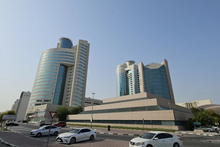
Riggat Al Buteen is a subcommunity within Deira, on the eastern side of Dubai. It sits close to the historic creek-front districts and forms part of the wider Deira area. Located at 25.258048, 55.323759, the community is integrated into central Dubai’s urban fabric rather than being a standalone estate.
Riggat Al Buteen is a subcommunity within Deira. It is centrally positioned east of Dubai Creek, within the urban area traditionally associated with Deira’s residential and commercial mix. The coordinates are 25.258048 N latitude and 55.323759 E longitude.
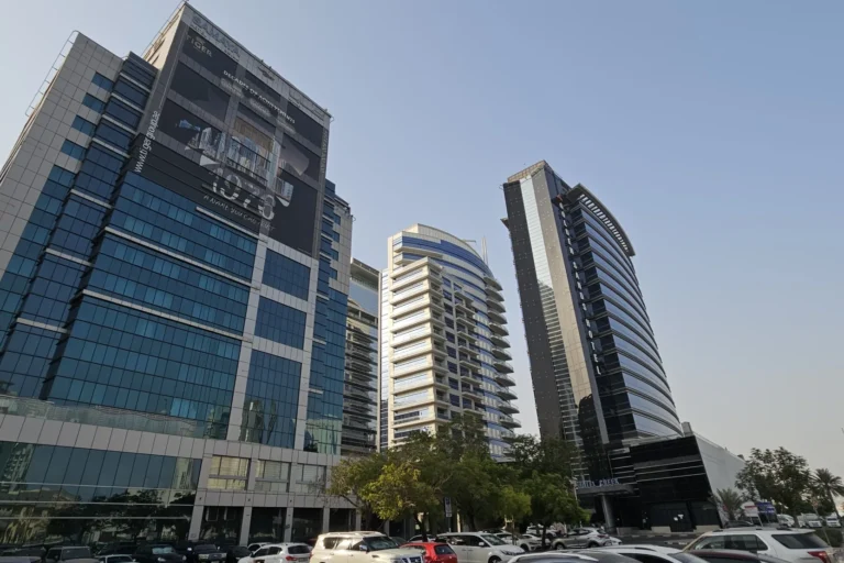
Riggat Al Buteen is served by the Dubai Metro Red Line. The nearest station, R17, is approximately 592 metres away on foot.
Approximate linear distances to key Dubai destinations include:
Typical driving times include roughly 12 minutes to Dubai Mall, 23 minutes to Palm Jumeirah, 22 minutes to Burj Al Arab and 27 minutes to The Walk JBR. Dubai International Airport (DXB) is around a 25-minute drive, while Al Maktoum International Airport (DWC) is approximately 48 minutes away by road. Times are indicative and depend on route and traffic conditions.

Riggat Al Buteen is part of Deira’s mixed-use and residential environment. Nearby projects include Al Meraikhi Tower 2, Al Meraikhi Tower 3 and Grand Creek Residence.
The subcommunity reflects the wider Deira pattern of mid-rise residential blocks, street-level shops and small commercial units. Riggat Al Buteen has 50 sale transactions.

Riggat Al Buteen is positioned for people who need close access to central-east Dubai and straightforward connections to Dubai International Airport. Its proximity to the Red Line metro and short distances to central business and retail districts make it a practical choice for commuters who rely on public transport as well as drivers. Its Deira setting may suit residents seeking an urban neighbourhood with local amenities and shorter trips to central commercial locations.
Nearby girls’ schools include Towheed Iranian Girls School, approximately 1.5 km away, and Iranian Khadije Kobra School for Girls, around 1.6 km away. These institutions may be relevant to families prioritising school proximity.
Where is Riggat Al Buteen located?
It is a subcommunity within Deira, Dubai, located at coordinates 25.258048, 55.323759.
Which metro line serves the area?
The area is served by the Dubai Metro Red Line; the nearest station is R17 and is about 592 metres away on foot.
How far is Riggat Al Buteen from Dubai International Airport and Dubai Mall?
DXB is about 4.2 km away and The Dubai Mall is approximately 8.1 km away. Driving times are roughly 25 minutes to DXB and around 12 minutes to Dubai Mall, subject to traffic.
Are there property transactions in the area?
Riggat Al Buteen has 50 sale transactions.

Machine-readable mirrors of this page: Markdown · JSON. Every field carries its origin.
How to cite:Riggat Al Buteen — Continental Club Property, 2026-07-30, https://continentalclub.ae/location/riggat-al-buteen/
Dubai market as a whole: prices, transactions and trends (DLD data) →







Neighbouring areas and sub-communities to compare location and prices.
