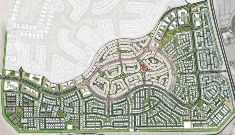
Mudon Al Ranim 3 is a residential subcommunity within the larger Mudon master plan in DubaiLand. Located at latitude 25.016634 and longitude 55.26466, it forms a residential pocket within the broader Mudon neighbourhood.
Mudon Al Ranim 3 is one of the named neighbourhoods that make up Mudon in DubaiLand. It sits within the wider suburban community, offering a residential setting close to the city’s main business, leisure and lifestyle destinations.

Metro access is limited, with the nearest Red Line station, R73, around 10.2 km away. For most daily journeys, residents are likely to rely on private cars, taxis or local bus services.
Road distances to major Dubai destinations include:
Typical driving times are around 30 minutes to The Dubai Mall, 24 minutes to Palm Jumeirah, 26 minutes to Burj Al Arab and 28 minutes to The Walk, JBR. Dubai International Airport is approximately 34 minutes away by car, while Al Maktoum International Airport is around 21 minutes away, depending on traffic conditions.
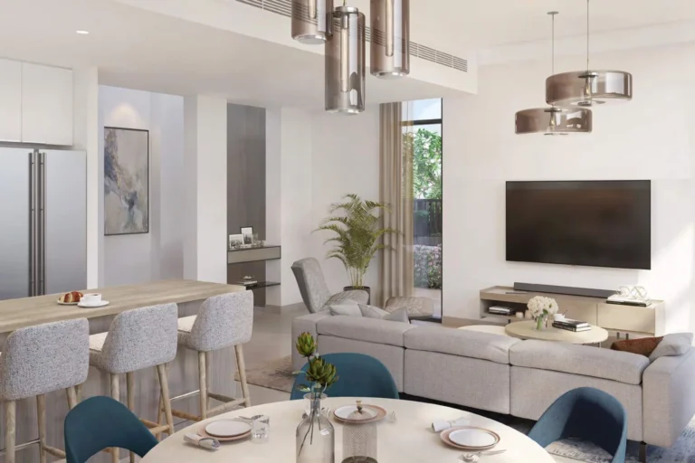
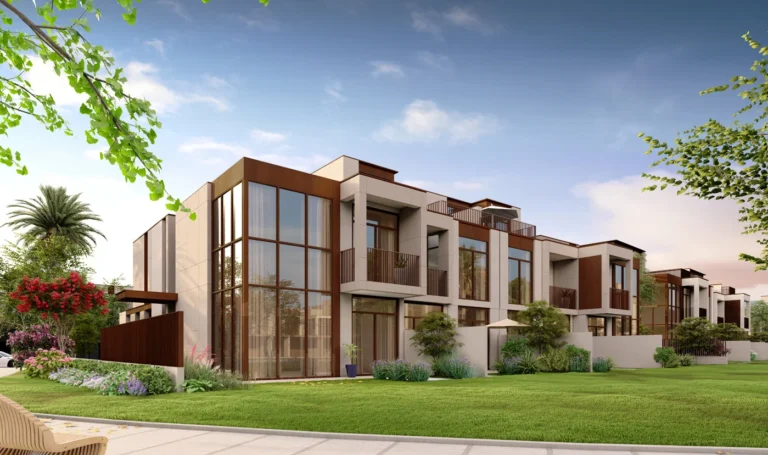
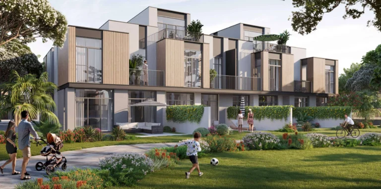
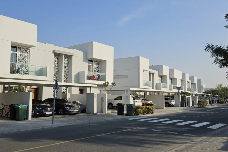
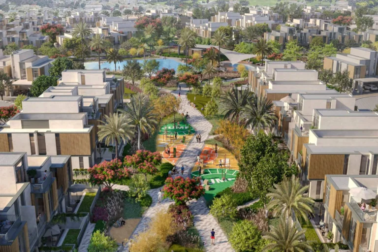
Architectural and landscape visuals for Mudon Al Ranim 3 reflect the community’s early design direction. As with many residential developments, final design elements may evolve during delivery.
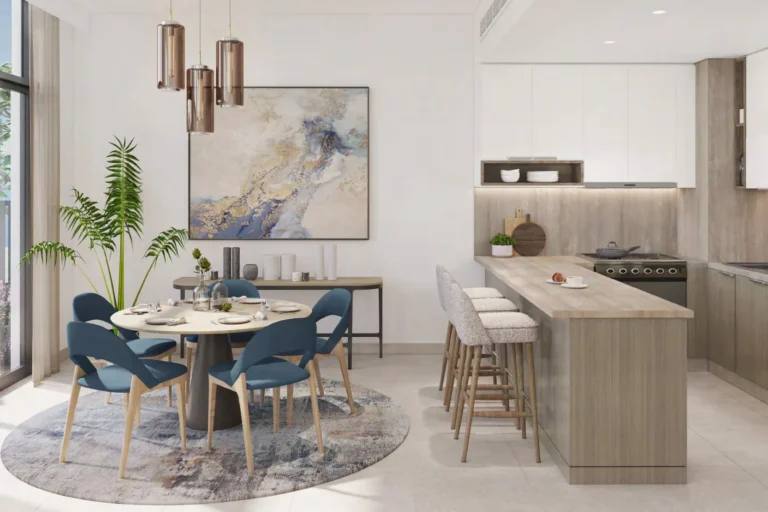
Mudon Al Ranim 3 is a residential subcommunity within an established suburban master plan. Its proximity to local schools and the family-oriented layout of Mudon make it suitable for households seeking access to education and quieter residential streets. Its position between central Dubai and leisure destinations such as Dubai Marina and Palm Jumeirah also suits commuters who prefer a suburban home environment.
As the nearest metro station is more than 10 km away, residents who depend primarily on rail travel will need to arrange feeder transport. Drivers benefit from road connections linking DubaiLand with the city’s business and leisure districts.
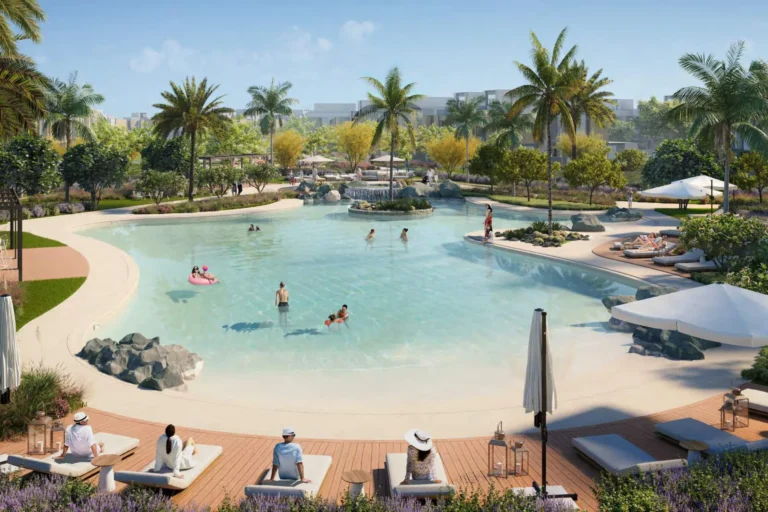
Nearby schools include Ranches Primary School and Fairgreen International School, both approximately 1.2 km from Mudon Al Ranim 3. The surrounding area also offers access to parks, attractions, beaches, golf clubs and cinemas.
Where is Mudon Al Ranim 3 located?
It is a subcommunity within Mudon in DubaiLand, at coordinates 25.016634, 55.26466.
Is there a metro station within walking distance?
The nearest Red Line station, R73, is about 10.2 km away, making it unsuitable for routine walking commutes.
What are the nearest major destinations by road?
The Dubai Mall is around 20.2 km away, Burj Khalifa / Downtown Dubai is 20.1 km away, Dubai Marina is 14.4 km away and Palm Jumeirah is 16.5 km away. Typical driving times are approximately 30 minutes to The Dubai Mall and 24 minutes to Palm Jumeirah, depending on traffic.
Machine-readable mirrors of this page: Markdown · JSON. Every field carries its origin.
How to cite:Mudon Al Ranim 3 — Continental Club Property, 2026-07-30, https://continentalclub.ae/location/mudon-al-ranim-3/
The figures below come from registered Dubai Land Department transactions, not from listings. We show the median rather than the mean, so that one-off penthouses do not distort it.
The yearly figure compares the last 12 months with the 12 before them. Calendar years would not work here: the current one is unfinished, so the comparison would understate the change.
From 2022 to 2025 — +35% on the price per square metre across 1 buildings that traded in both years.
Top to bottom: purchase price per m², year, annual rent per m², gross yield. Showing the last 5 years, from 2022.
* 2026 is still in progress, so its bar covers part of the year and is not directly comparable with the ones before it. The growth figure below uses completed years only.
All figures are medians rather than means: in thin years the mean swings with the mix of units and shows movement the market never had. The yield is gross — service charges are not published in the register, so they cannot be deducted honestly.
| Building | Deals | Price per m² |
|---|---|---|
| Mudon Al Ranim 3 | 254 | 15 836 |
Source: Dubai Land Department transaction registry. Prices per square metre, sale transactions.
Dubai market as a whole: prices, transactions and trends (DLD data) →
Neighbouring areas and sub-communities to compare location and prices.