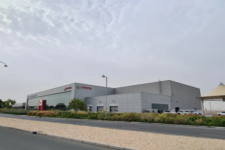
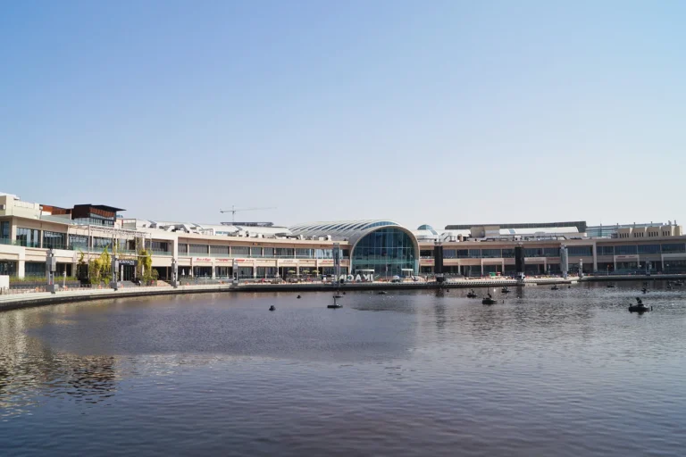
Marsa Al Khor is a district of Dubai, 1.5 km from Al Jadaf Metro Station.
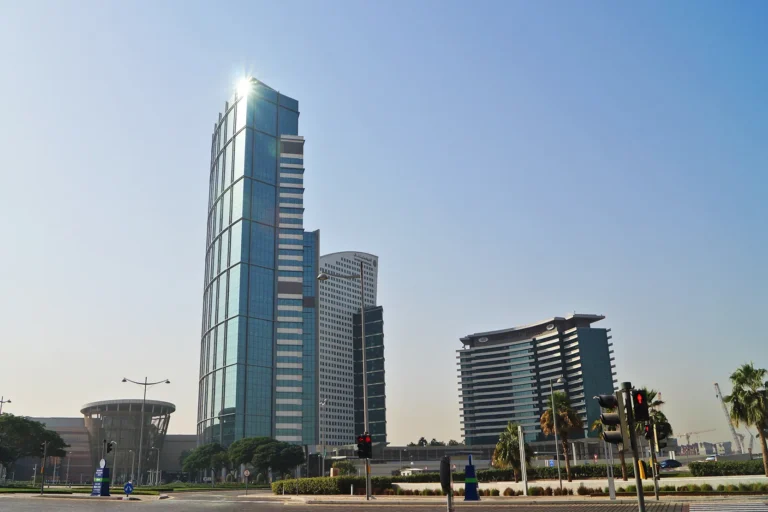
Marsa Al Khor is a planned waterfront community on the east shore of Dubai Creek, positioned within the Dubai Festival City area. Launched in September 2005, the scheme was conceived as an upmarket, contemporary mixed‑use quarter with a continuous corniche, marina frontage and a central Quay. The masterplan envisaged a combination of residential towers, low‑rise waterfront homes, offices, retail and leisure space designed around landscaped public spaces and a long waterfront promenade.
Marsa Al Khor occupies a riverside strip between Al Garhoud Bridge and the Business Bay Crossing Bridge on the eastern bank of Dubai Creek. The original brief described a 245,000 square metre development intended to deliver high‑quality waterfront living and working environments. The masterplan included a central park, shaded retail and dining frontages along a continuous walkway, and a Quay acting as the district hub.
Key masterplan figures stated at launch include a development cost of Dh6 billion and capacity planned for up to 14,000 residents. The commercial element was designed to provide approximately 2.5 million square feet of leasable space across three district zones, arranged to maximise creek and bridge views.
The nearest Dubai Metro access is on the Green Line, station code G29; the recorded distance to this station is about 1,496 metres, and that distance is not classed as walkable in the project data. Road connectivity places Marsa Al Khor within short driving times to several of Dubai’s principal destinations:
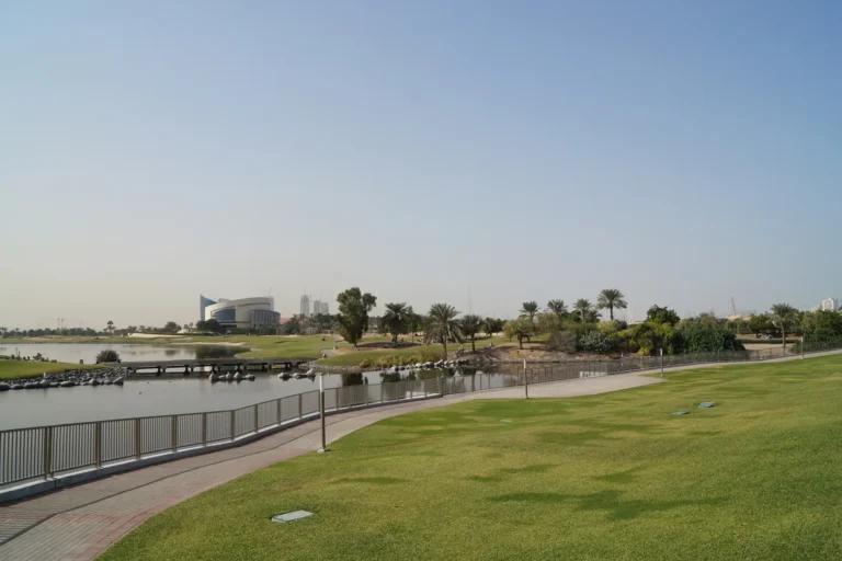
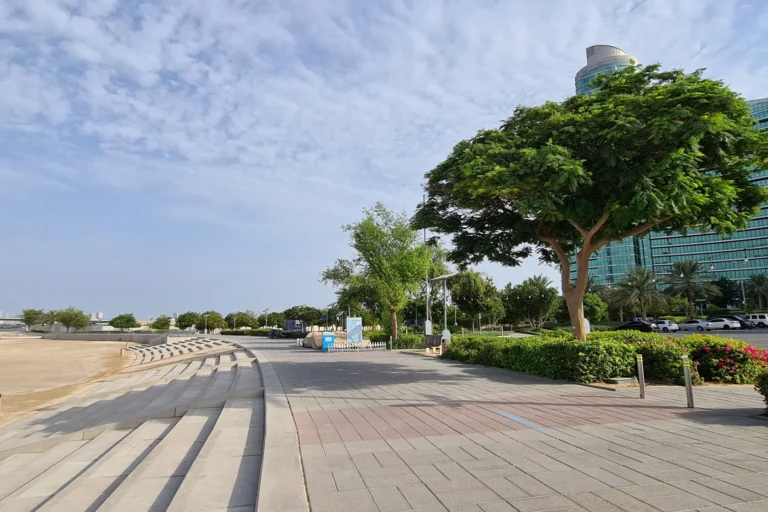
The site also sits directly on the waterfront walkway that runs for approximately 4 km along Dubai Festival City, providing a continuous pedestrian route beside the creek for leisure and dining access.
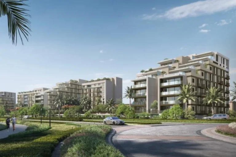
Marsa Al Khor was designed as a mixed‑use corniche community with a variety of typologies and civic spaces. Principal elements described in the original masterplan include:
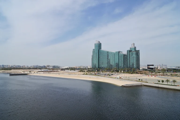
At present, the project has not been delivered to the full extent of the original masterplan. The InterContinental Residence Suites Festival City (formerly Harbour Plaza) and a public beach are recorded as the built components that have been completed and opened within the planned area.
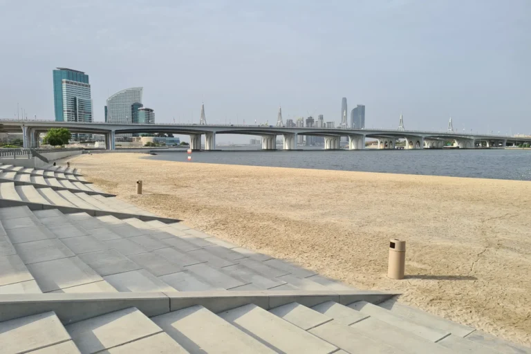
Marsa Al Khor sits adjacent to Dubai Festival City and benefits from the retail, leisure and hotel offer in that precinct as well as the waterfront promenade. The project descriptions also cite educational provision in the immediate vicinity, with two named schools recorded at short distances: New Indian Model School Dubai at about 0.6 km and Gulf Indian High School at about 0.8 km from the area.
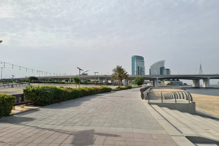
Marsa Al Khor was conceived primarily for buyers and occupiers seeking a manufactured waterfront address with a variety of product types: waterfront apartments and penthouses, serviced apartments linked to hotel management, and office spaces with creek views. The layout emphasised leisure‑focused public spaces, restaurants and water‑based access, which suits residents and businesses that prioritise a prominent creekside setting within easy reach of central Dubai.
Given the mixed‑use nature and the scale originally proposed, the area is also of interest to those tracking long‑term development opportunities in Festival City and waterfront regeneration around Dubai Creek; however, the wider masterplan remains partially delivered.

What is Marsa Al Khor?
Marsa Al Khor is a planned waterfront mixed‑use district on the east bank of Dubai Creek originally launched in 2005. It was designed to combine residential towers, waterfront homes, offices, retail and leisure fronting a continuous corniche.
Which parts of the project are built?
The InterContinental Residence Suites Festival City (previously Harbour Plaza) and a public beach are identified as the main elements of the masterplan that have been completed.
How close is Marsa Al Khor to public transport and the airport?
The nearest metro access is on the Green Line, station code G29, at about 1.5 km. Dubai International Airport is approximately a 10‑minute drive by road according to the project information.
What types of buildings and spaces were planned?
The masterplan envisaged high‑rise residential towers around a Central Park, low‑rise waterfront residences, a Quay with a boutique hotel and serviced apartments, three commercial districts with roughly 2.5 million sq ft of leasable space, and a dedicated office campus.
Machine-readable mirrors of this page: Markdown · JSON. Every field carries its origin.
How to cite:Marsa Al Khor — Continental Club Property, 2026-09-10, https://continentalclub.ae/location/marsa-al-khor/
Dubai market as a whole: prices, transactions and trends (DLD data) →
Neighbouring areas and sub-communities to compare location and prices.