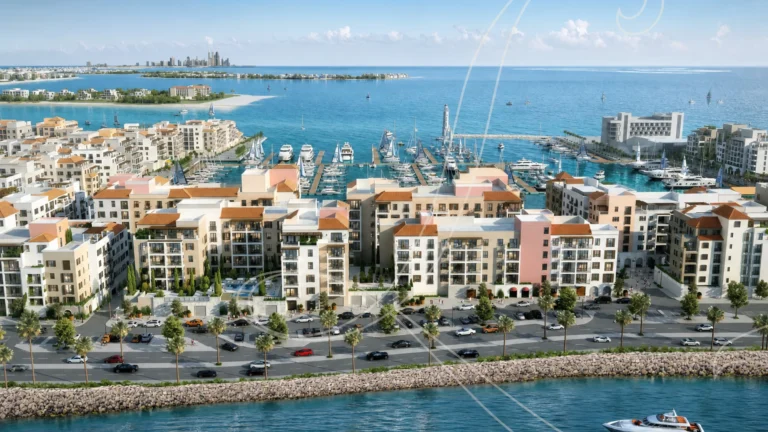
La Sirène is a district of Dubai, 3.4 km from Emirates Towers Metro Station.
La Sirène is a tower within the Port de La Mer enclave of La Mer in Jumeirah 1, Dubai. The development occupies a coastal position in the La Mer masterplan and is part of the Port de La Mer cluster. Coordinates for La Sirène are 25.237141 N, 55.253870 E. This profile summarises what the location is, how it connects to the rest of Dubai, nearby services and recorded market activity relevant to property buyers, renters and investors.
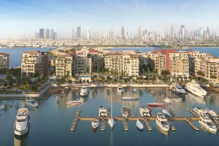
La Sirène forms part of Port de La Mer, a waterfront portion of the La Mer neighbourhood in Jumeirah 1. The entry in our database identifies the property type as TOWER and situates it in the site path: Dubai > Jumeirah 1 > La Mer > Port de La Mer > La Sirène. The immediate setting is a coastal, mixed-use shoreline environment within the wider La Mer development. The property is bound by the sea-facing promenade and the urban fabric of Jumeirah 1, providing direct visual and planning ties to La Mer’s beachfront and the Port de La Mer marina-style concept.
Public transport and road connections are important when assessing day-to-day access. The nearest Dubai Metro facility on record is on the Red Line (station code R23), located approximately 3,420 metres from La Sirène; this distance is classified as not walkable for most users. Road travel times and distances to major Dubai nodes are as follows (distances given in kilometres, driving times listed where recorded as approximate):
The combination of short drives to central business districts (DIFC, Downtown, Business Bay) and a longer but manageable commute to peripheral attractions (Marina, Palm Jumeirah, Expo City) defines the practical connectivity profile for residents and occupiers of La Sirène.
La Sirène is registered in our dataset as a tower within Port de La Mer. According to the available project fields, there are no individual projects listed on the site entry (projects_on_site_count: 0) and no linked project records for the immediate address. The property is recorded under the parent area Port de La Mer, itself part of the La Mer masterplan along the Jumeirah coastline.
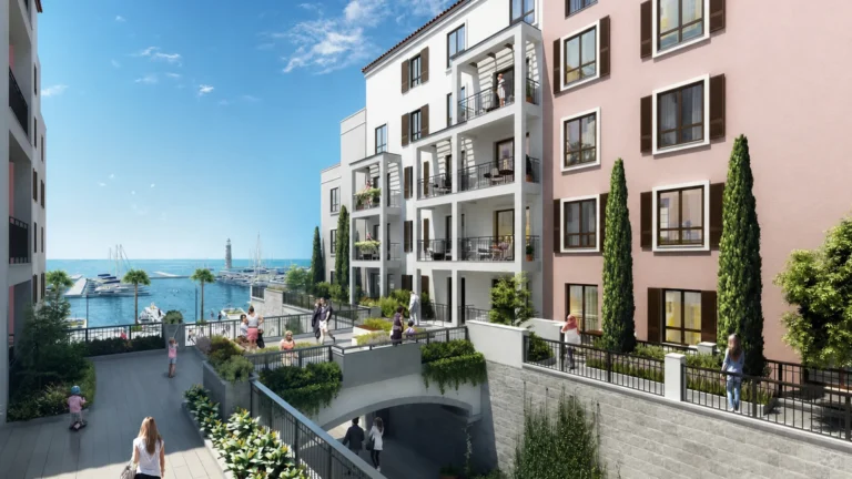
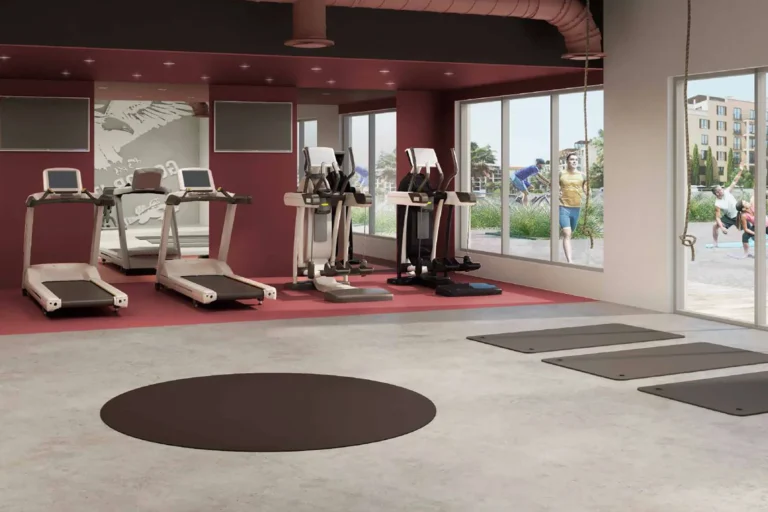
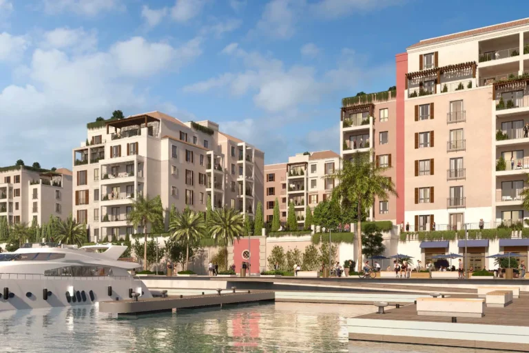
Images associated with La Sirène in public records and listing platforms reflect initial concept designs. Those concept images are useful for comparing original plans with the realised development; they should be treated as indicative because designs, landscaping and amenity provisions are sometimes revised during construction or upon final delivery.
Market activity local to La Sirène is visible through official land department records: there are 50 sale transaction records available for La Sirène in the Dubai Land Department open dataset summarised for this location. These recorded transactions provide a factual history of recent sales activity registered at the government level; they can be used as a reference point for due diligence and comparative market analysis.
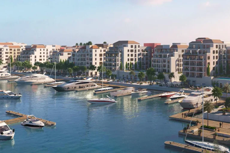
La Sirène sits within an urban coastal area that benefits from La Mer’s beachfront infrastructure and the retail and dining environment in Jumeirah 1. Specific education-related locations mentioned in public locality notes include:
These institutions are referenced as nearby services in locality descriptions. For other categories such as healthcare facilities, supermarkets or named leisure venues, consult authoritative local listings and service maps when considering daily logistics and lifestyle needs.
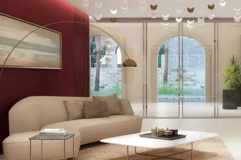
La Sirène is suited to occupants and buyers who prioritise a coastal, city-edge location with direct association to La Mer’s beachfront experiences while remaining within short driving distance of central business districts. Typical profiles include:
Given the site’s integration into La Mer and Port de La Mer, the address appeals to those who value a combined urban-and-beach living environment with convenient road access to central Dubai.
Q: Where exactly is La Sirène located within Dubai?
A: La Sirène is located in Port de La Mer, which is part of La Mer in Jumeirah 1. The full site path for reference is: Dubai > Jumeirah 1 > La Mer > Port de La Mer > La Sirène. Coordinates are 25.237141, 55.253870.
Q: How far is the nearest metro station?
A: The nearest station on the Dubai Metro Red Line (station code R23) is recorded at approximately 3,420 metres from La Sirène. That distance is generally considered beyond comfortable walking range for daily commutes.
Q: What are typical driving times to key destinations?
A: Recorded approximate driving times include around 17 minutes to The Dubai Mall, about 19 minutes to Dubai International Airport (DXB), roughly 27 minutes to Burj Al Arab, approximately 29 minutes to Palm Jumeirah and about 32 minutes to The Walk JBR. These times are indicative and depend on traffic conditions.
Q: Is there recorded transaction history for properties at La Sirène?
A: Yes. Official open-data records show 50 sale transaction records for La Sirène as published by the Dubai Land Department under the government’s open data directive. These government-registered transactions are a primary source for understanding recent sales activity at the location.
For factual enquiries that require document-level confirmation — for example, title details, floor plans or current listing information — consult the Dubai Land Department records, formal listing agents or the property management office associated with Port de La Mer. This profile summarises location, connectivity and reference-level market data to support first-stage research and area comparison.
Machine-readable mirrors of this page: Markdown · JSON. Every field carries its origin.
How to cite:La Sirène — Continental Club Property, 2026-07-30, https://continentalclub.ae/location/la-sirene/
Dubai market as a whole: prices, transactions and trends (DLD data) →
Largest management companies in the area: Dh Community Management (6).
Check any building’s service charge → All communities
RERA-approved 2026 budgets from the DLD service charge index (Mollak); residential buildings. Rate is AED per sq ft per year; YoY compares the same buildings in 2025.
Neighbouring areas and sub-communities to compare location and prices.