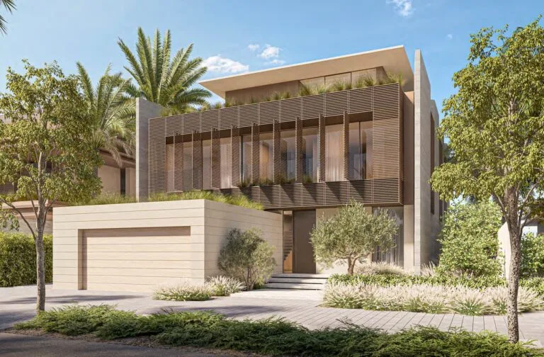
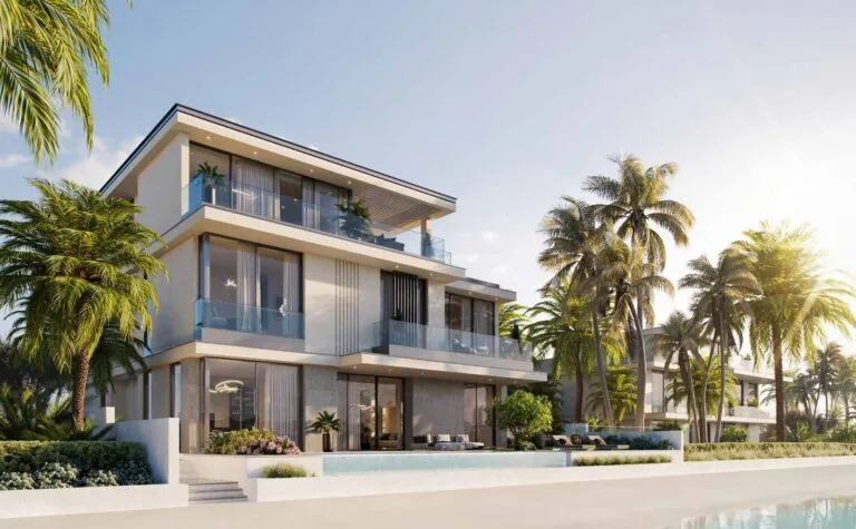
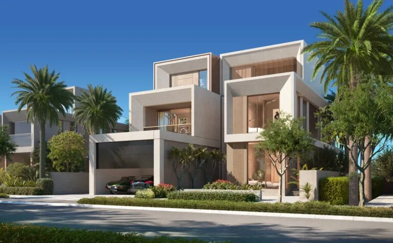
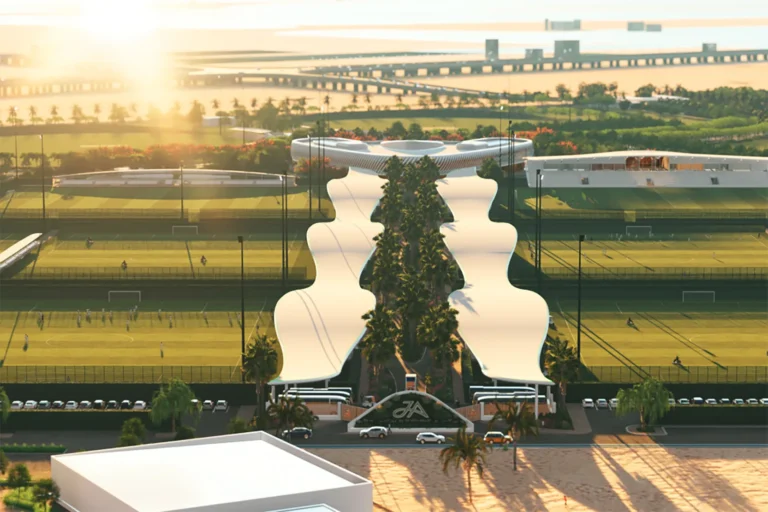
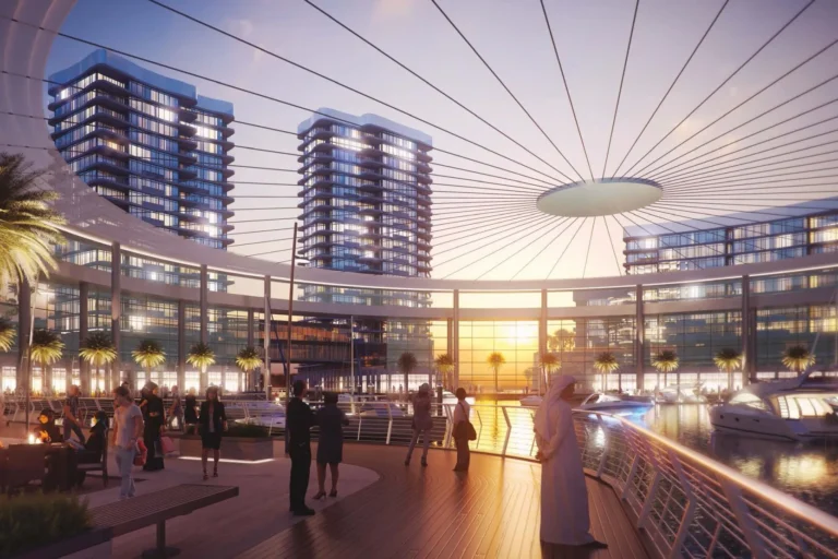
Marsa Meydan is a proposed waterfront district planned on the new beachfront in Jebel Ali. The masterplan centres on a covered marina and a climate-controlled boardwalk that encircles the harbour, with residential neighbourhoods of waterfront villas, townhouses and apartments framed by extensive public spaces and water areas.
Marsa Meydan is presented as a mixed-use coastal neighbourhood developed under the Meydan concept of combining hospitality, leisure, sport and residential components. The scheme is located in the Jebel Ali area of Dubai and is described as close to the Expo 2020 site and to major transport links and the new Al Maktoum International Airport. The development is organised around a central marina and a grand boulevard and is intended to provide a seafront living environment with private moorings for some villas.

Transport connections are an explicit part of the scheme’s appeal. The nearest Dubai Metro access on the Red Line (station code R42) is approximately 6.1 km away by the entry data provided (distance 6,084 m) and is not considered walkable. The project description also highlights proximity to the Expo 2020 location and to the city’s major transport corridors and to Al Maktoum International Airport, indicating a strategy to position Marsa Meydan within reach of regional travel infrastructure while retaining a coastal resort character.
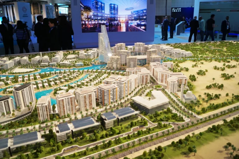
The masterplan as originally published emphasises a sheltered marina at the centre of the district and a continuous, climate-cooled boardwalk. Key structural and amenity elements include:
The mix of uses in the public realm is intended to include family parks, community facilities and a community centre with cinemas and retail. The plan also anticipates multiple hotels in the 4-star and 5-star categories and a range of leisure and entertainment offerings aligned with Meydan’s broader positioning as a hub for sport and hospitality.
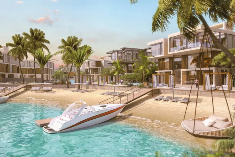
Residential provision in the published material focuses on three primary forms:
The overall emphasis is on a waterside living experience, with properties arranged to maximise access to canals, marina berths and beaches. Landscaping and open space are a consistent element of the concept, with extensive green areas and dedicated trails for active travel.

Planned amenities described in the original sources include hospitality venues, retail and food and beverage outlets along the main boulevard, family-friendly public spaces, and community infrastructure such as nurseries, schools, mosques and parks. A community centre with cinemas and retail is named among the scheme’s facilities. The design narrative also highlights leisure infrastructure associated with the marina and waterfront promenade.
Marsa Meydan is positioned for buyers and residents who prioritise seafront living and marina access within a planned, amenity-rich neighbourhood. Specific groups for whom the district may be suitable include:
The scheme’s mix of villas, townhouses and apartments is also relevant to buyers interested in a planned coastal neighbourhood rather than an inner-city location.
The published masterplan and concept images reflect the original design intent for Marsa Meydan. It is common for large-scale developments to evolve through revisions in design, amenities and landscaping as the scheme progresses. Comparative images and the original masterplan allow assessment of any changes between concept and realised development.
Information included in the community overview indicates that, at the time of reporting, the closest named school is Ghaf Private School at about 10.4 km from Marsa Meydan. The masterplan names schools generally among proposed community facilities but does not list a comprehensive set of onsite education or healthcare institutions in the published extract.
What types of homes will be available in Marsa Meydan?
The scheme is described as offering waterfront villas (many with private pontoons and moorings), townhouses and apartments arranged around canals, the central marina and the seafront.
What are the main public amenities planned?
A covered central marina with a climate-cooled 6.5 km boardwalk, extensive canals (over three million sq ft), private beaches, an 11 km jogging track, a 9 km bike trail, a 6 km electric-car lane, hotels, retail, food and beverage outlets, a community centre with cinemas, and family parks are all included in the published overview.
How easy is access to public transport?
The nearest Metro Red Line station listed in the data is around 6.1 km away (station code R42) and is indicated as not walkable. The development’s description also highlights proximity to key transport corridors and Al Maktoum International Airport.
Are there schools and services within the district?
The masterplan references nurseries and schools as community elements. The wider area reference notes Ghaf Private School at approximately 10.4 km as the nearest named school in the summary provided.
Machine-readable mirrors of this page: Markdown · JSON. Every field carries its origin.
How to cite:Marsa Meydan — Continental Club Property, 2026-08-30, https://continentalclub.ae/location/marsa-meydan/
Dubai market as a whole: prices, transactions and trends (DLD data) →
Neighbouring areas and sub-communities to compare location and prices.