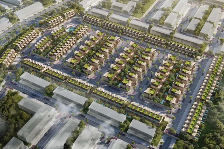
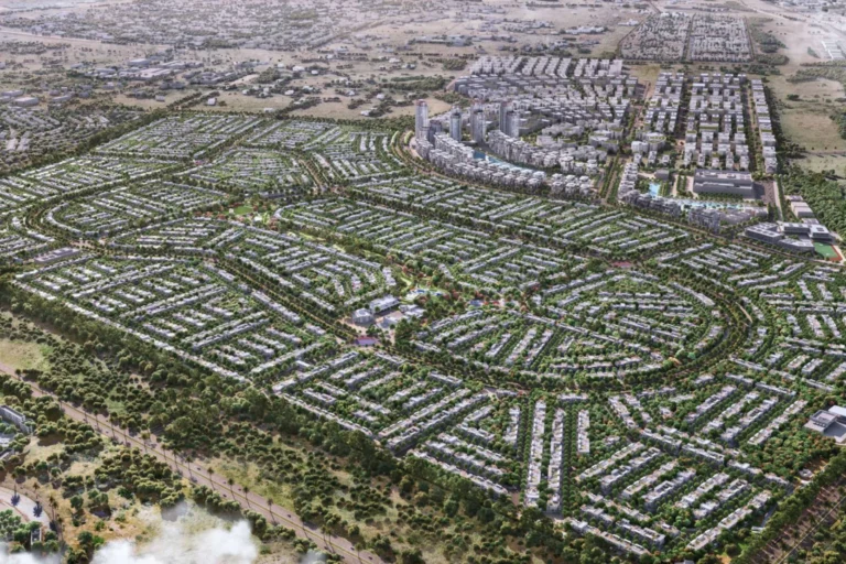
Keturah Ardh (Phase 1) is a named phase within the wider Keturah Ardh masterplan. The designation refers to the initial, masterplanned section released by the developer at the point of launch. The area is presented in developer documentation as a distinct phase of a residential-led scheme; published materials and mapping from the launch provide the primary source for the location and immediate neighbourhood context.
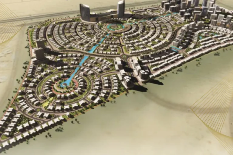
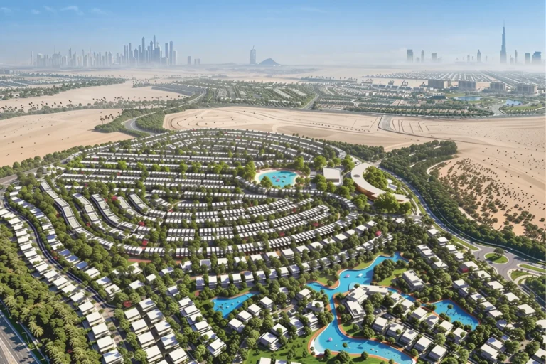
Keturah Ardh (Phase 1) is an early phase of a larger planned community described in the developer’s original masterplan. The available documentation positions Phase 1 as part of a coherent layout intended to integrate residential plots and supporting urban structure defined at launch. The publicly available descriptions emphasise the masterplan in defining the community’s footprint rather than a single completed building or tower.
The project’s public records and listings identify Keturah Ardh (Phase 1) by name; authoritative third‑party listings cite the same masterplan and note the surrounding area in relation to local schools and transport connections. The developer’s map and the community plan referenced at launch are the main cartographic sources for the location.
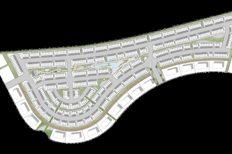
Metro: the nearest Dubai Metro station on the Red Line (code R11) is approximately 12.5 km from the site (12,532 m). This distance is shown as not walkable in the available summary, indicating that access to the Red Line station will generally require a short drive, taxi or other vehicular transfer rather than a pedestrian approach.
Local points of interest and everyday destinations are described with limited, verified distances in the published notes associated with the masterplan. Two nearby schools are cited with the following approximate separations from Phase 1 as given in public summaries:
Those distances are taken from the same planning-related documentation and third‑party summary texts that accompany the masterplan. Other specific kilometre measurements to central Dubai landmarks, beaches or commercial districts are not enumerated in the referenced source material.
The primary factual reference for Keturah Ardh (Phase 1) is the original masterplan published by the developer at launch. That masterplan defines the intended arrangement of plots, road connections and the phase boundaries. Public summaries and property-portal listings treat Phase 1 as a discrete portion of the overall Keturah Ardh scheme rather than as a single completed asset.
Available records list Phase 1 among the named components of the masterplan; however, the compiled fact set accompanying the masterplan and third‑party listings does not enumerate individual completed projects or on‑site developments by name in the public summary. Where on-site projects or neighbouring developments exist, specific project names, developers or completion stages are only presented when included in authoritative registry entries or project lists.
Keturah Ardh (Phase 1) is principally of interest to purchasers, investors and occupiers who base decisions on masterplanned communities and on documentation issued at launch. The phase structure implies a staged delivery within a wider development context, which typically appeals to buyers focused on a phased neighbourhood rather than a single completed tower or building.
Three practical considerations for potential stakeholders, derived from the verified materials, are:
Q: What source defines the boundaries of Keturah Ardh (Phase 1)?
A: The developer’s original masterplan published at launch is the defining source for the phase boundaries and the community layout.
Q: How close is the nearest metro station?
A: The Red Line station identified with code R11 is roughly 12.5 km from the phase (12,532 m) and is not walkable.
Q: Are there schools near Phase 1?
A: Yes. Published summaries list Vernus International School Dubai at about 2.8 km and German International School Dubai at about 3.5 km from Keturah Ardh (Phase 1).
Q: Does the available material list completed buildings within Phase 1?
A: The referenced materials treat Phase 1 as a component of the masterplan; the public summary records do not present a catalogue of completed on‑site projects in the provided fact set.
Machine-readable mirrors of this page: Markdown · JSON. Every field carries its origin.
How to cite:Keturah Ardh (Phase 1) — Continental Club Property, 2026-08-30, https://continentalclub.ae/location/keturah-ardh-phase-1/
Dubai market as a whole: prices, transactions and trends (DLD data) →
Neighbouring areas and sub-communities to compare location and prices.