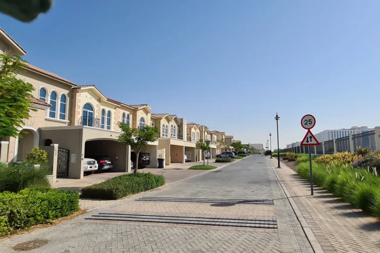
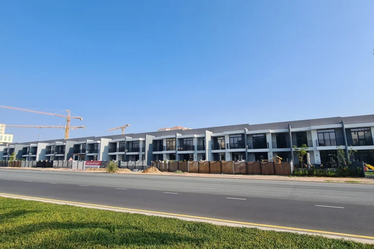
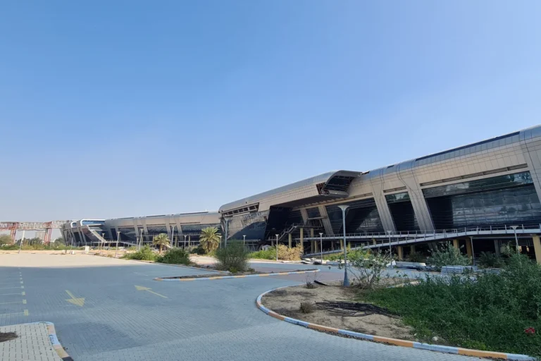
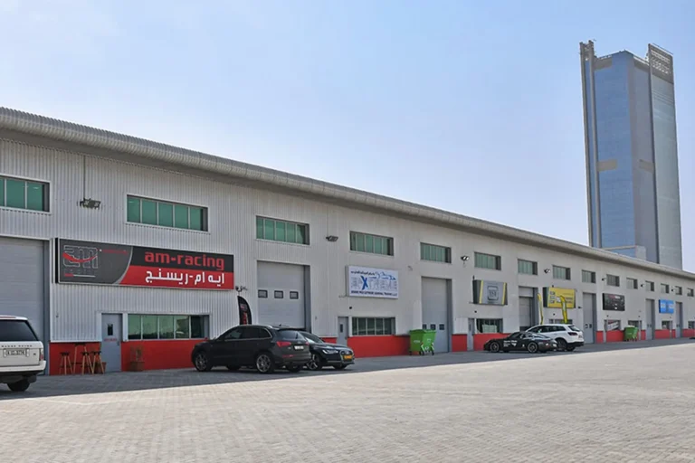
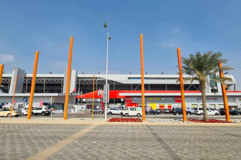
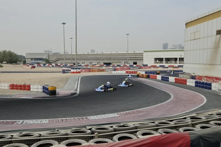
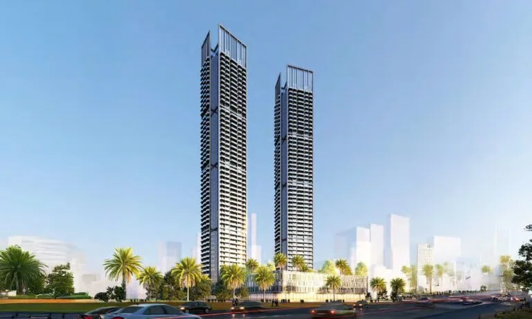
Joud Boulevard East is a tower-class residential address located within the Green Community Motor City pocket of DubaiLand. The location is defined by its placement in Motor City and forms part of the Green Community Motor City neighbourhood. Coordinates: 25.042576, 55.230707.
Joud Boulevard East sits in the Motor City area of Dubai, within the Green Community Motor City enclave. The listing classifies the site as a tower development. The site path identifies the administrative route for the location as Dubai > DubaiLand > Motor City > Joud Boulevard East, and the parent community is Green Community Motor City.
Geographically, the development is positioned toward the western side of central Dubai, at latitude 25.042576 and longitude 55.230707. The address places it among the network of residential communities that form Motor City, a sector that is set apart from Dubai’s main high-density corridors while remaining connected by road links to key activity nodes across the city.
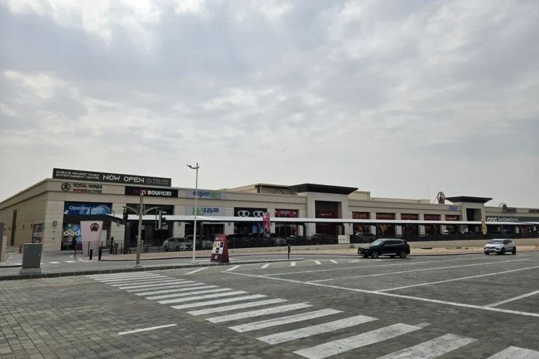
Public transport: the nearest Dubai Metro reference is on the Red Line with station code R73. The linear distance to that Red Line point is 7,332 metres; the location is not categorised as walkable to the metro station.
Road distances from Joud Boulevard East to principal Dubai locations (approximate straight-line or standard-route kilometres as recorded):
Typical driving times provide practical context for commute planning: roughly 26 minutes to Dubai Mall; about 19 minutes to Palm Jumeirah; around 22 minutes to Burj Al Arab; and approximately 23 minutes to The Walk JBR. Airport transfer times cited are approximately 31 minutes to Dubai International Airport (DXB) and about 30 minutes to the new Al Maktoum International Airport. These times are descriptive estimates intended to reflect normal traffic conditions and serve as a general reference.
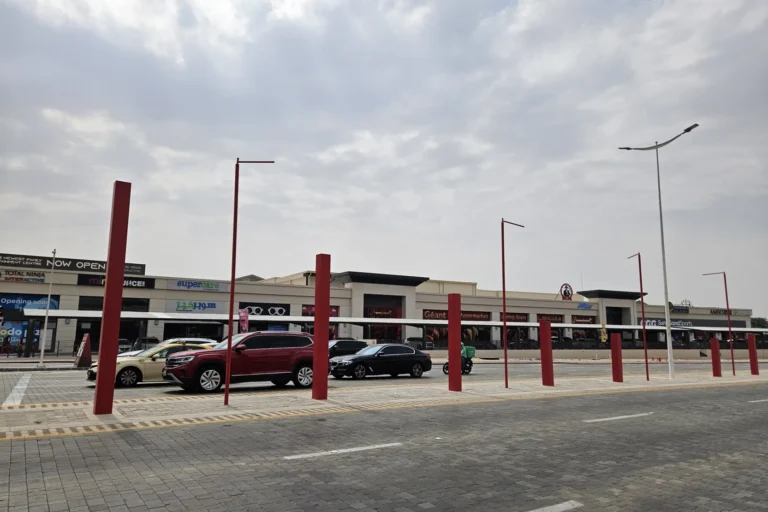
Joud Boulevard East is recorded as a tower in the Motor City area and is administratively part of Green Community Motor City. The site is positioned within a broader residential zone characterised by a mix of medium-density housing and purpose-built residential blocks typical of Motor City and DubaiLand planning patterns. The project record does not list on-site development links or direct sub-project entries under this location record.
The immediate urban fabric around the site connects to Motor City’s internal road network and to arterial routes that lead toward Dubai Marina, Sheikh Zayed Road corridors and the wider DubaiLand precinct. The location serves as a residential node whose transport connections and radial distances to major destinations determine daily travel choices for occupants, visitors and service providers.
Source information highlights the presence of educational institutions in close proximity to Joud Boulevard East. Two schools are mentioned with short walking distances: Renaissance School at approximately 0.5 km and Dwight School Dubai at approximately 0.9 km. The broader Motor City area offers a mix of neighbourhood retail, food-and-beverage outlets and leisure destinations across adjacent pockets; summary material for the location also references local listings for attractions, parks, beaches, golf clubs and cinemas in the surrounding part of the city, supplied as contextual reference for residents and visitors.
Given its classification as a tower within Green Community Motor City and its road links to major employment, retail and leisure hubs, Joud Boulevard East is suited to residents prioritising a residential environment with relatively straightforward car access to Dubai’s western and coastal destinations. The proximity to a pair of established schools makes it relevant for households with school-age children where those specific institutions are of interest. The site’s positioning also makes it an option for commuters who travel to Dubai Marina, Palm Jumeirah or Expo City Dubai on a frequent basis, subject to vehicle access and usual urban travel times.
It can serve households and individual residents seeking a Motor City address that is outside Dubai’s most central high-rise districts while still providing measured road access to those districts; the location’s attributes align with people who balance local community life with regular trips to employment or leisure areas elsewhere in the city.
Q: What is the nearest metro station and is it walkable?
A: The nearest recorded metro reference is on the Red Line (station code R73) at an indicated distance of 7,332 metres. The location is not classified as walkable to that metro point.
Q: How long does it take to drive to Dubai’s main landmarks?
A: Approximate driving times are about 26 minutes to Dubai Mall, about 19 minutes to Palm Jumeirah, around 22 minutes to Burj Al Arab and roughly 23 minutes to The Walk JBR. Airport transfer estimates are around 31 minutes to Dubai International Airport (DXB) and about 30 minutes to Al Maktoum International Airport, depending on traffic.
Q: Which schools are near Joud Boulevard East?
A: The material identifies Renaissance School at roughly 0.5 km and Dwight School Dubai at roughly 0.9 km from the site.
Q: What type of property is recorded at this location?
A: The site is recorded as a tower development within Green Community Motor City in the Motor City section of DubaiLand.
Machine-readable mirrors of this page: Markdown · JSON. Every field carries its origin.
How to cite:Joud Boulevard East — Continental Club Property, 2026-08-30, https://continentalclub.ae/location/joud-boulevard-east/
Dubai market as a whole: prices, transactions and trends (DLD data) →
Largest management companies in the area: Edacom Owners Association Management (53), Provis Owners Association Management Services (1), Stratum Owner Association Management Services (1).
Check any building’s service charge → All communities
RERA-approved 2026 budgets from the DLD service charge index (Mollak); residential buildings. Rate is AED per sq ft per year; YoY compares the same buildings in 2025.




Neighbouring areas and sub-communities to compare location and prices.