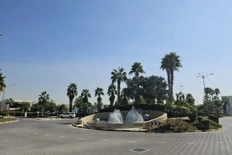
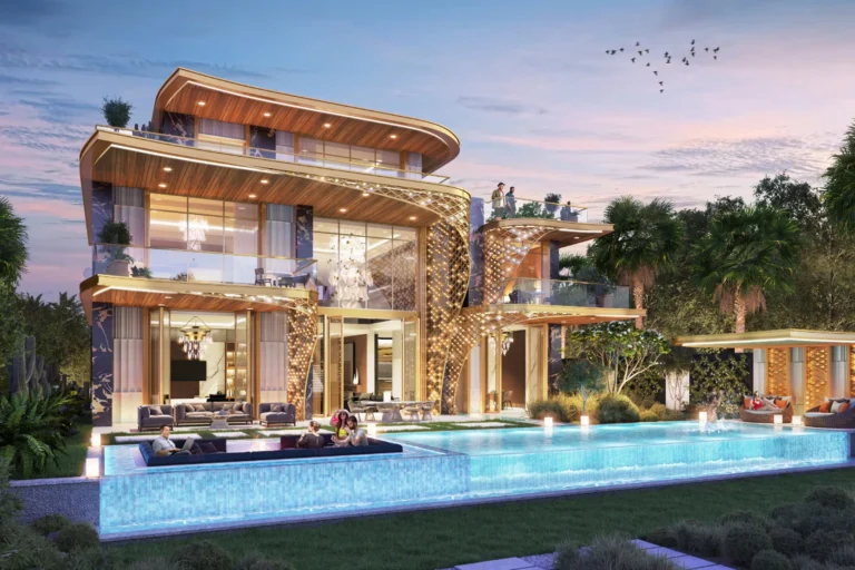
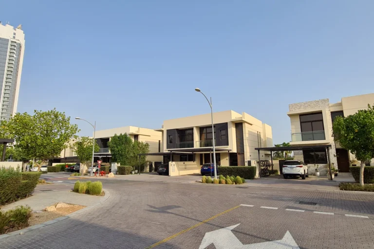
The Field is a residential subcommunity within the Damac Hills area of Dubai. Positioned in the DubaiLand sector, it sits on coordinates 25.027083, 55.252018 and is part of the wider masterplanned development created by the Damac Hills developer. The locality is referenced in Dubai Land Department records and local property portals; official data shows recorded sales activity for the area and published materials including the original launch masterplan.
The Field is classified as a subcommunity of Damac Hills and lies inside the broader DubaiLand precinct. On administrative and mapping systems its path is listed as “Dubai > DubaiLand > Damac Hills > The Field.” The community sits at latitude 25.027083 and longitude 55.252018. As part of Damac Hills, The Field benefits from the planned layout and infrastructure associated with that development, including the public documentation and masterplan published by the developer at the time of launch.

Road access is the primary means of reaching central Dubai and regional destinations from The Field. The community is some distance from the nearest metro station on the Dubai Metro Red Line: the listed station code is R73 and the distance to that metro node is approximately 9,001 metres, which is not considered walkable. Car travel times recorded in local summaries give a practical sense of journey durations by road.
Distances from The Field to major Dubai points (rounded as in published records):
Local travel-time estimates published alongside the community data provide practical journey examples by car: roughly 27 minutes to Dubai Mall, about 25 minutes to Palm Jumeirah, around 24 minutes to Burj Al Arab and roughly 29 minutes to The Walk JBR. Airport drive times recorded in local material indicate approximately 32 minutes to Dubai International Airport (DXB) and about 27 minutes to Al Maktoum International Airport (DWC). These times are indicative and depend on traffic conditions.

The Field is presented in local planning and marketing materials as a parcel within the Damac Hills masterplan. The original masterplan for the area was published by the developer during launch and remains a reference for layout and land use. Public property records and portals list transactional activity: there are 50 sale transaction records for The Field recorded in Dubai Land Department data and published under the government’s Open Data directive. These records are updated on a regular basis in the official datasets.
Details about specific residential or commercial projects inside The Field are consolidated through the developer’s documentation and property listings. Summary information provided alongside the masterplan highlights nearby categories of facilities — attractions, parks, beaches, golf clubs and cinemas — and these summaries are often used as a basis for local amenity guides. For on-site project links, developer pages or project-specific listings, refer to the official developer publications and property portals which aggregate current offers and project pages.

The Field sits within commuting distance of a number of schools and local amenities cited in public descriptions of the community. Two schools mentioned in local summaries by distance are:
Beyond schools, community materials reference a range of nearby leisure and retail destinations in Damac Hills and the surrounding DubaiLand area. Summaries published with the community guide include lists of nearby parks, golf facilities, cinemas and dining options; these are collated by local property portals and lifestyle partners for residents and visitors.

The Field is positioned as part of a larger masterplanned residential district and is appropriate for buyers or renters seeking a residential environment inside the Damac Hills framework. Its relative distance from central business districts and its location within DubaiLand make it an option for households prioritising a suburban-style layout with planned neighbourhood infrastructure. The proximity to a range of schools cited in local materials is a practical factor for families. For those whose daily routine relies heavily on metro commuting, the nearest Red Line station is a considerable distance away and car access is the primary commuting mode.

Q: How far is The Field from Downtown Dubai?
A: The Field is approximately 19.0 km from Burj Khalifa / Downtown Dubai as recorded in location data.
Q: Which metro line serves the area and is it walkable?
A: The nearest metro node referenced is on the Red Line (station code R73). The documented distance to that station is about 9,001 metres, which is not considered walkable; most journeys are done by car or other road transport.
Q: Are there recorded property transactions for The Field?
A: Official published data lists 50 sale transaction records for The Field in the Dubai Land Department’s Open Data releases.
Q: What schools are close to The Field?
A: Local summaries identify Ranches Primary School at roughly 1.2 km and Fairgreen International School at roughly 1.6 km from The Field.
For mapped location details, community summaries and links to project documentation, consult the developer’s masterplan materials and the public property portals that aggregate Dubai Land Department records and local listings.
Dubai market as a whole: prices, transactions and trends (DLD data) →
Largest management companies in the area: Luxury Owner Association Management Services Co. (45).
Check any building’s service charge → All communities
RERA-approved 2026 budgets from the DLD service charge index (Mollak); residential buildings. Rate is AED per sq ft per year; YoY compares the same buildings in 2025.




Nothing found. Try relaxing the filters.
Neighbouring areas and sub-communities to compare location and prices.