Jumeirah Park District 1 is a district of Dubai, 1.5 km from The Gardens Metro Station.
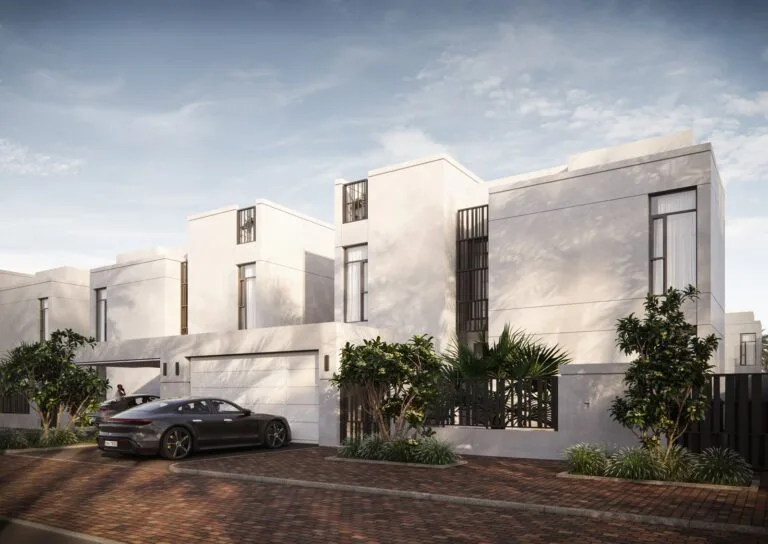
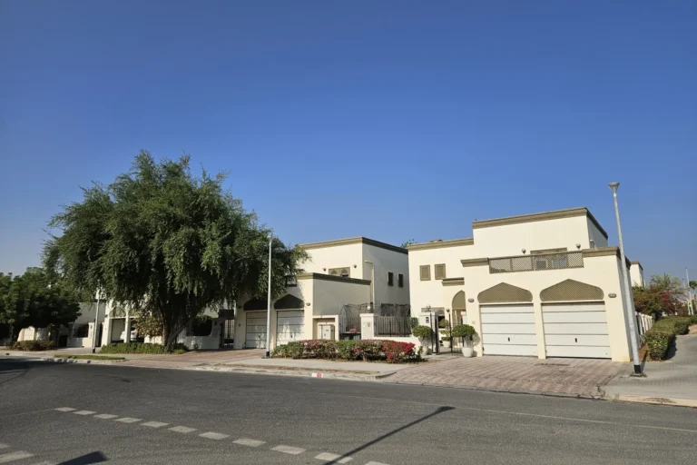
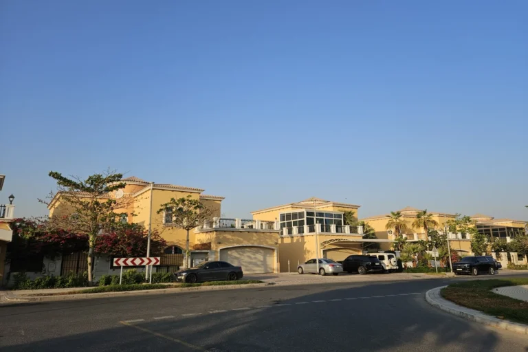
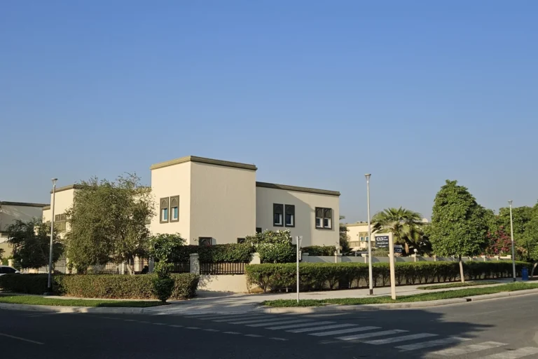
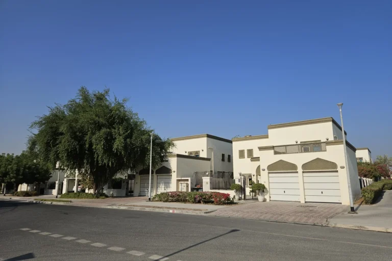
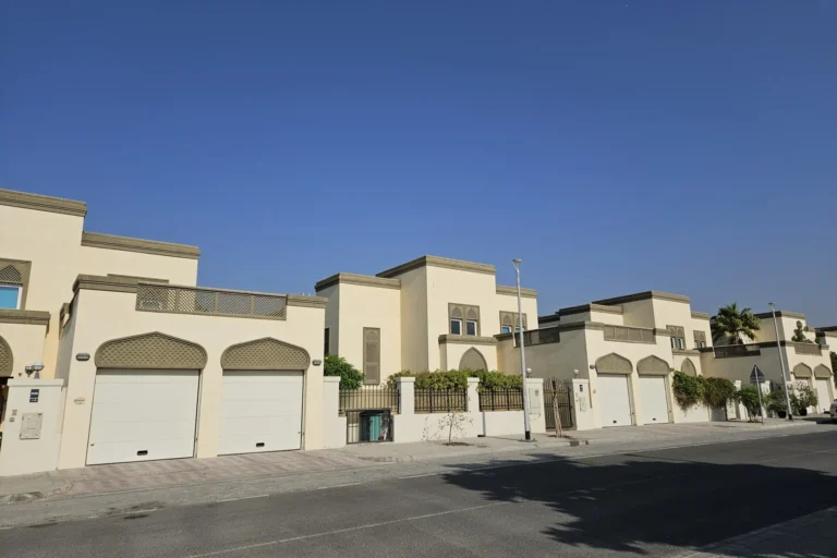
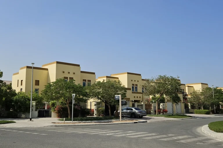
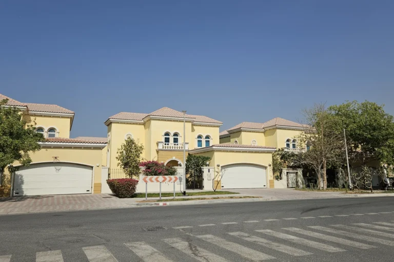
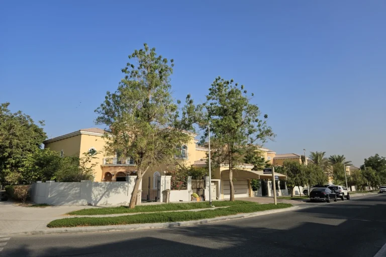
Jumeirah Park District 1 is a residential subdistrict within the wider Jumeirah Park area of Dubai. It is characterised by large, five‑bedroom villas presented in Regional and Legacy architectural styles. The district uses a clear addressing pattern: villa numbers in this district are prefixed with the letters H and G, and street names run from A2 to A7. The combination of villa scale and consistent street naming gives the area a distinct identity within Jumeirah Park.
District 1 is a defined section of Jumeirah Park that contains the largest five‑bedroom villas offered in the community. The housing stock is predominantly standalone villas designed and marketed under Regional and Legacy style categories. The district sits within the Jumeirah Park master community and follows the neighbourhood’s pattern of low‑rise, villa‑based residential plots.
The addressing and naming conventions are explicit: villas in District 1 carry prefixes H or G, and the street grid in the district is identified by street names A2 through A7. This makes navigation and property identification straightforward for residents, visitors and service providers.
Public transport and driving connections to major Dubai landmarks are commonly cited for District 1. The nearest metro line reference is the Red Line (station code R70). The listed distance from the district to that metro point is 1496 m; that metro access is marked as not walkable.
Driving times to principal destinations in Dubai are provided as approximate figures and are noted here exactly as given:
These journey times reflect typical road access routes from Jumeirah Park District 1 to central and coastal destinations across the city.

The district is defined by five‑bedroom villas in two principal stylistic categories: Regional and Legacy. Within the community these villas represent the largest standalone family units available in Jumeirah Park. The clear prefixing of villa identifiers with H and G and the A2–A7 street nomenclature indicate a planned parceling of plots and a repeatable housing typology across the district.
There are no project listings attached to the district record provided, and no specific on‑site development links or neighbouring project entries to enumerate. The information about house types and street naming provides the primary basis for understanding the built environment in District 1.

The district is noted to have several schools in close proximity. Two schools are mentioned with measured distances from District 1:
Beyond those named schools, the district’s driving times to major Dubai destinations (shopping, beachfront, and airports) define its practical connectivity to the wider city’s services, leisure and employment nodes.

Jumeirah Park District 1 is primarily suited to households seeking large, family‑scale accommodation in a villa setting. The presence of five‑bedroom homes in Regional and Legacy styles makes the district a match for larger families, multi‑generational households or buyers and renters requiring extensive internal space and private outdoor areas.
Proximity to established schools (within approximately 2 km) and direct road links to central Dubai and coastal destinations support family lifestyles that combine residential privacy with access to urban amenities. The scale of homes and the residential character also suit residents who prioritise detached housing rather than apartment living.

What types of homes are found in District 1?
District 1 contains the community’s largest five‑bedroom villas, offered in Regional and Legacy architectural styles. Villas in the district are identified by H and G prefixes.
How is the street and house numbering organised?
Street names in District 1 run from A2 to A7, and villa identifiers in this district use the letters H and G as prefixes.
How close is public transport?
The nearest Red Line metro reference (station code R70) is recorded at a distance of 1496 m from the district; that access point is noted as not walkable in the supplied data.
How long does it take to reach key Dubai locations by car?
Typical drive times listed for District 1 are: Dubai Mall — roughly 20 minutes; Palm Jumeirah — 12 minutes; Burj Al Arab — 17 minutes; The Walk JBR — 13 minutes. Airport driving times provided are roughly 28 minutes to Dubai International Airport (DXB) and roughly 31 minutes to Al Maktoum International Airport.
For enquiries about specific properties located in Jumeirah Park District 1, or for precise maps and parcel information, use the district’s reference details and the published community maps within Jumeirah Park. The facts presented here are distilled from the district record and provide a focused, factual summary of location, housing and practical connectivity for buyers, renters and advisors considering properties in this part of Jumeirah Park.
Machine-readable mirrors of this page: Markdown · JSON. Every field carries its origin.
How to cite:Jumeirah Park District 1 — Continental Club Property, 2026-08-30, https://continentalclub.ae/location/jumeirah-park-district-1/
Dubai market as a whole: prices, transactions and trends (DLD data) →
Neighbouring areas and sub-communities to compare location and prices.