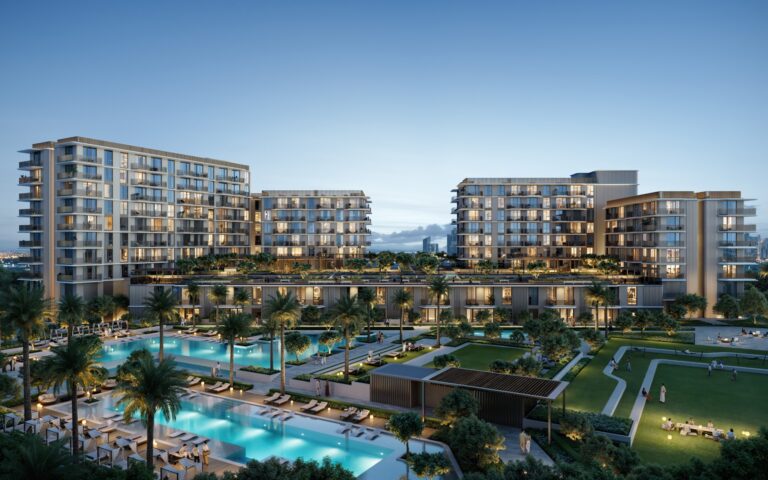
Deira Waterfront District 5 is a district of Dubai, 199 m from Gold Souq Metro Station.
Deira Waterfront District 5 is a named subdistrict within the wider Deira Waterfront area of Dubai. It is presented in property databases as part of the waterfront regeneration corridor in Deira and is identified for its proximity to established city arteries and commuter links. The following text summarises location, transport connections, local context and practical points for residents and investors, based on verified locality data.
Deira Waterfront District 5 belongs to the Deira Waterfront grouping and sits on the eastern side of Dubai’s urban centre as recorded in property listings. The district is mapped within the Deira neighbourhood cluster and treated as one of the waterfront districts that form the larger masterplaned area known publicly as Deira Waterfront. Reference sources for the locality place it within the administrative and market context of Deira, one of Dubai’s long-established urban zones.
Key local institutions recorded close to the district include two schools serving the Iranian community: Iranian Khadije Kobra School for Girls (approximately 2.7 km) and Towheed Iranian Girls School (approximately 2.8 km). These distances are typical walking/short driving proximities cited for the area and indicate family-oriented educational locations within a few kilometres.
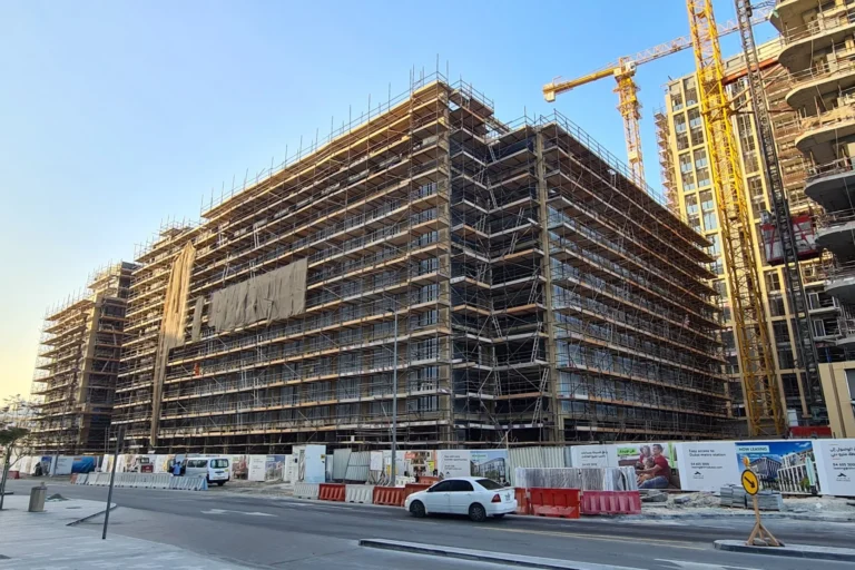
Transport connections are a defining practical advantage of Deira Waterfront District 5. The district is served by Dubai Metro’s Green Line: the nearest metro stop is on the Green Line with station code G22, and that station is recorded at about 199 metres from the district boundary, a walkable distance for most residents.
These travel times are presented as typical drive estimates used in locality profiles and reflect traffic-dependent journey durations. The presence of a nearby Green Line station provides a viable public transport option for cross-city travel and greater connectivity to central and older parts of Dubai.
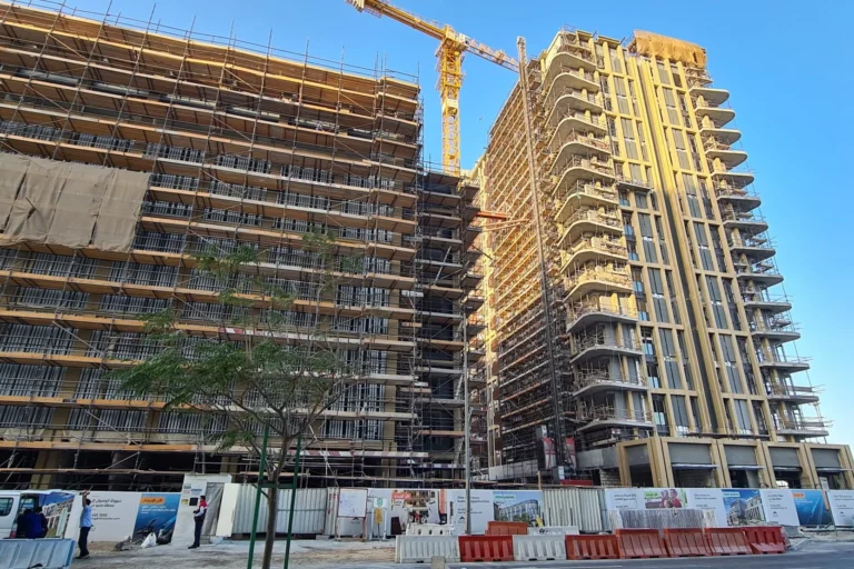
Deira Waterfront District 5 is referenced as part of the Deira Waterfront classification in property listings and market guides. The district forms an element of the broader waterfront redevelopment context for Deira, which has been the subject of mapping and community guides in property portals. Publicly available locality summaries highlight the district’s waterfront designation and its inclusion in grouped Deira Waterfront entries used by brokers, portals and community guides.
Property portals and local guides that catalogue Deira Waterfront District 5 also supply situational content such as maps, lists of nearby attractions, and summaries of local amenities. Those resources are used by buyers, renters and advisors to assess neighbourhood accessibility, nearby schools and the wider urban relationship to Dubai’s central and leisure destinations.
Deira Waterfront District 5 can suit a variety of residents and occupiers based on its recorded attributes: proximity to a Green Line metro station appeals to daily commuters and professionals who rely on public transport; recorded short drive-times to landmarks such as Dubai Mall and Dubai International Airport are relevant for frequent travellers and those working in central areas; and the presence of nearby community schools is significant for families seeking local education options.
Stakeholders who consult property portals for neighbourhood briefs — including prospective buyers, tenants and local agents — commonly use the district’s transport and location summaries to match household or business requirements to the local offer. Lifestyle amenity overviews provided in partnership with leisure guides are also referenced by people looking for dining and weekend options in the district’s vicinity.
Locality descriptions for Deira Waterfront District 5 are derived from property portal records and community guides. These entries typically include mapping, lists of nearby schools and attractions, standard drive-time estimates to major Dubai destinations, and transport adjacency such as metro station codes and walking distances. The district is included in aggregated Deira Waterfront listings used by property platforms and estate agents when handling enquiries and marketing residential or mixed-use opportunities in the area.
The locality profile is also cross-referenced with lifestyle partners that summarise current hospitality offers and weekly promotions in the neighbourhood, providing a practical complement to transport and education information for people assessing living options.
Q: Where is Deira Waterfront District 5 located?
It is a district listed within the Deira Waterfront area of Deira, Dubai, and is referenced in property and locality listings as part of that waterfront cluster.
Q: How close is public transport?
The district is recorded as approximately 199 metres from a Green Line metro station (station code G22), a distance described as walkable in locality notes.
Q: What are typical travel times to Dubai landmarks?
Typical drive-time estimates recorded for the district include roughly 17 minutes to Dubai Mall, 26 minutes to Burj Al Arab, 28 minutes to Palm Jumeirah and 31 minutes to The Walk JBR; Dubai International Airport is about 19 minutes by car and Al Maktoum International Airport about 51 minutes by car in typical conditions.
Q: Are there schools nearby?
Locality summaries list nearby schools such as Iranian Khadije Kobra School for Girls (about 2.7 km) and Towheed Iranian Girls School (about 2.8 km), indicating school provision within a few kilometres of the district.
Machine-readable mirrors of this page: Markdown · JSON. Every field carries its origin.
How to cite:Deira Waterfront District 5 — Continental Club Property, 2026-07-30, https://continentalclub.ae/location/deira-waterfront-district-5/
Dubai market as a whole: prices, transactions and trends (DLD data) →
Neighbouring areas and sub-communities to compare location and prices.