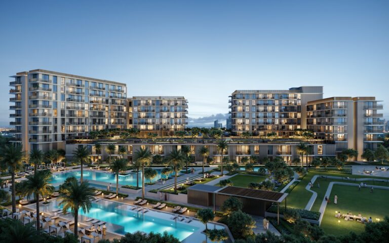
Deira Waterfront District 2 is a district of Dubai, 212 m from Gold Souq Metro Station.
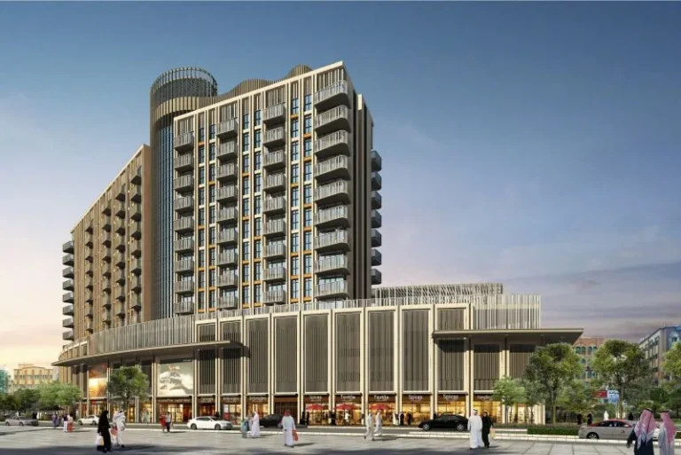
Deira Waterfront District 2 is a planned waterfront sector within the wider Deira Waterfront masterplan in eastern Dubai. The area is presented through concept imagery and masterplan material; these illustrations are useful to compare initial design intent with eventual delivery. The site sits within the Deira Waterfront precinct and is referenced in public listings and local property portals as a separate district cluster.
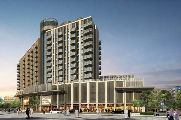
Deira Waterfront District 2 forms part of the broader Deira Waterfront development along Dubai’s historic creek-front corridor. It is positioned within Deira and is identified on maps and property databases as a distinct district. The publicly available materials for the district include images that depict initial concept designs for buildings, landscaping and public realm. These concept images may not reflect the final, delivered architecture or amenity mix—developers and designers commonly revise plans during a project lifecycle.
Public and private transport connections are a notable feature of the district. The nearest metro access is on the Green Line: the station code is G22 and the walking distance to the station is recorded at about 212 metres, which makes the metro a practical option for daily commuting.
Typical driving times from Deira Waterfront District 2 to key Dubai destinations as referenced in public sources are approximately:
These travel times are indicative and depend on traffic conditions and chosen route. The district’s proximity to a Green Line metro station gives it an alternative to road travel for many journeys across the city.
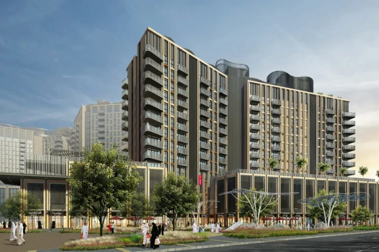
Public materials for Deira Waterfront District 2 emphasise masterplan-level concepts and visualisations. Images available in public listings show early-stage design proposals for buildings, public realm and waterfront arrangements. It is common for masterplans to evolve: designs, amenity lists and landscaping are often revised as a project moves from concept through planning to construction and handover.
At present there are no individual projects listed in the public summary for the district or on-site project pages linked from the district entry. Where projects are subsequently registered or launched, official project pages and registry records typically list developer names, project stages and unit counts.
Deira Waterfront District 2 sits within a part of Dubai with established residential neighbourhoods, retail streets and community services. Educational institutions cited in association with the district include Iranian Khadije Kobra School for Girls and Towheed Iranian Girls School, both referenced at approximately 2.7 km from the district. The district is also included in curated local listings for dining and leisure offers via partner sites such as LadiesNightDubai.com and BrunchCrunch.ae, which aggregate current hospitality promotions in the vicinity.
Maps published alongside public descriptions show the district in relation to the creek and other Deira neighbourhoods; these maps are intended to help compare the district’s intended layout against the actual built environment as projects progress.
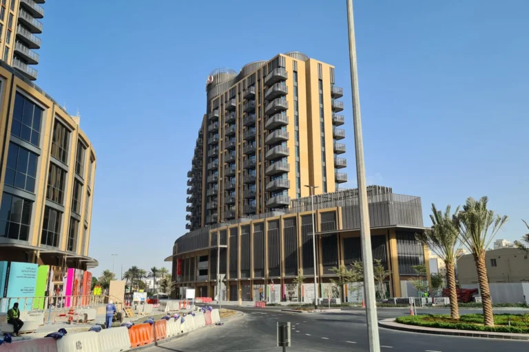
Deira Waterfront District 2 may appeal to buyers or renters seeking a waterfront-orientated address within the eastern Deira area, with relatively short metro access to the rest of the city. The available material suggests a focus on mixed-use waterfront development at the masterplan level; however, specific unit types, amenity packages and delivery timetables should be confirmed with the relevant developer or listing agent when projects or buildings in the district are officially launched.
Given the district’s position near established Deira communities and its proximity to schools noted above, it may also be of interest to residents prioritising access to local educational provision and central-east Dubai connectivity.
Where exactly is Deira Waterfront District 2?
It is a designated sector within the Deira Waterfront masterplan in the Deira area of Dubai. Public maps and listings show it as a distinct district within the waterfront precinct.
Which metro station serves the district?
The nearest recorded metro access is on the Green Line (station code G22), at an approximate walking distance of 212 metres.
How long does it take to reach major Dubai destinations?
Indicative driving times referenced in public sources are: Dubai Mall ~18 minutes, Palm Jumeirah ~29 minutes, Burj Al Arab ~27 minutes, The Walk JBR ~32 minutes, DXB ~20 minutes and Al Maktoum International Airport ~52 minutes. Actual travel times depend on traffic and route.
Do available images reflect the final development?
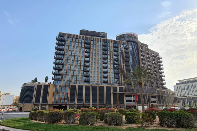
The images associated with Deira Waterfront District 2 depict initial concept designs. Project layouts, architectural details and amenity lists can change during planning and delivery, and final schemes may differ from early visuals.
Machine-readable mirrors of this page: Markdown · JSON. Every field carries its origin.
How to cite:Deira Waterfront District 2 — Continental Club Property, 2026-07-30, https://continentalclub.ae/location/deira-waterfront-district-2/
Dubai market as a whole: prices, transactions and trends (DLD data) →
Neighbouring areas and sub-communities to compare location and prices.