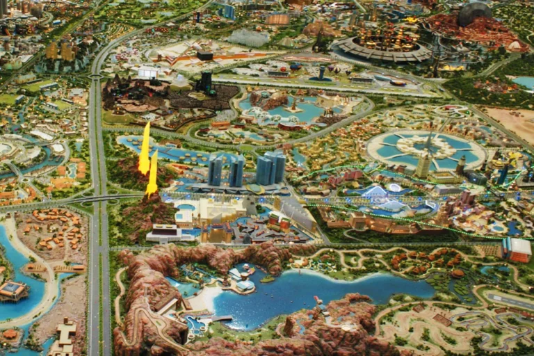
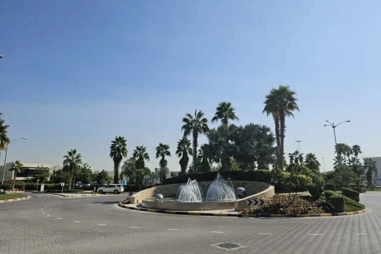
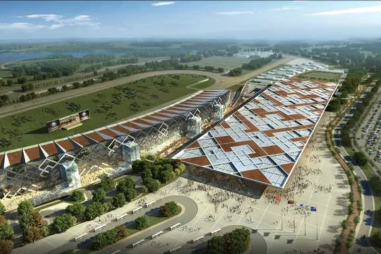
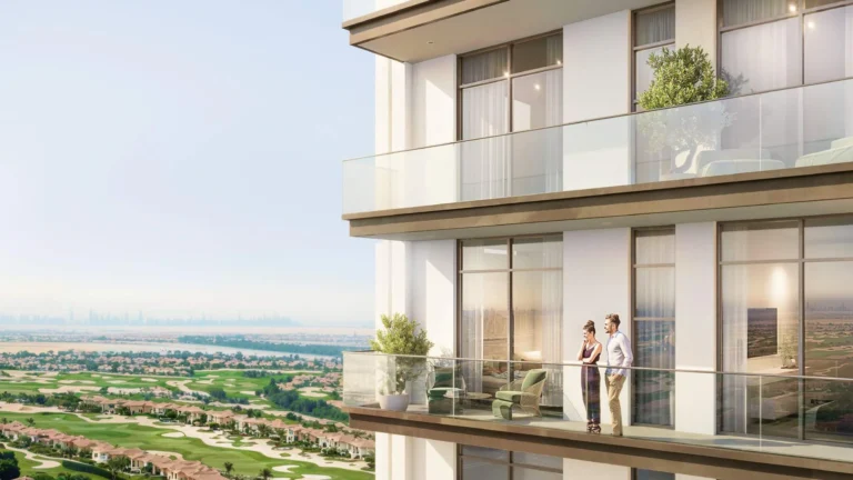
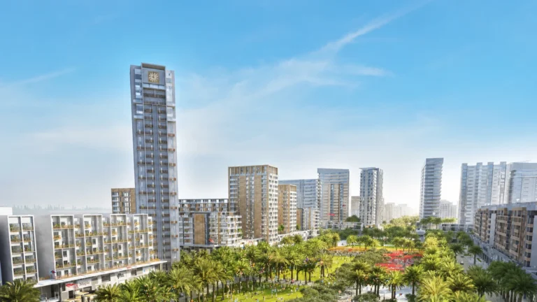
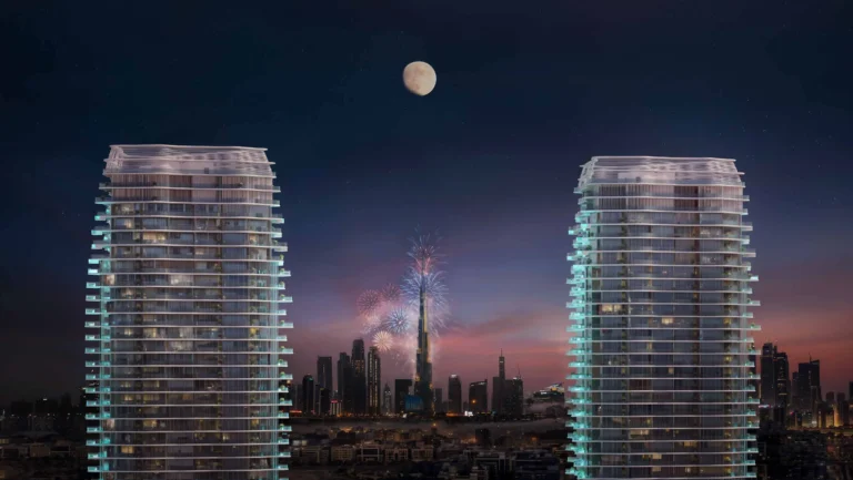
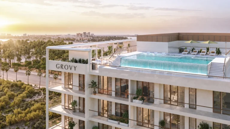
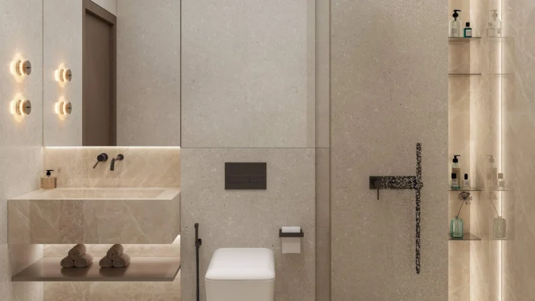
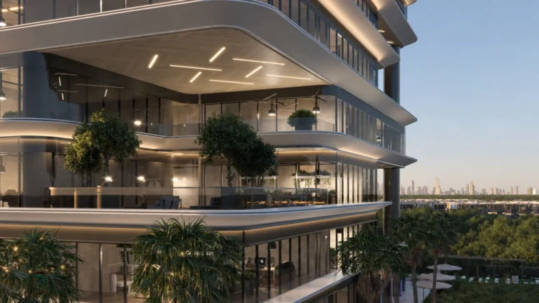
Al Kaheel Park is a community area positioned within the Dubailand master plan. Publicly available materials for the location include a set of images that illustrate the initial concept designs and a map that places the site inside the wider DubaiLand / Dubailand context. The available visual material is presented as concept work; it is explicitly noted that architectural designs, landscaping and amenities can be revised as schemes progress.
Al Kaheel Park is identified as a named area inside DubaiLand (Dubailand). The site is presented in available maps and plan images as a residential-orientated park setting within the larger Dubailand framework. The published material frames the location as part of the master-planned suburban belt to the north-west of Dubai’s central districts; the public map and concept imagery are the principal sources used to understand the intended layout and relationship to surrounding DubaiLand components.
Official detail in the location summary includes the relationship to Dubai’s metro network. The nearest metro node recorded against the location is on the Red Line (station code R73) at a distance of roughly 19.3 km; this distance is identified as not walkable, which reflects a requirement for vehicle or feeder-bus access for routine travel to and from the metro. The publicly available material does not provide a list of precise road distances to Dubai landmarks; practical access therefore depends on private car, taxi or local bus services that connect Dubailand with other parts of the city.
For educational provision, the published summary cites Dubai British School, Mira as the closest named schooling option at approximately 5.6 km from the location. Other local services and points of interest are indicated on the public map and in summaries that accompany the concept imagery; these resources reference nearby attractions such as parks, beaches, golf clubs and cinemas without listing individual names in the location brief.
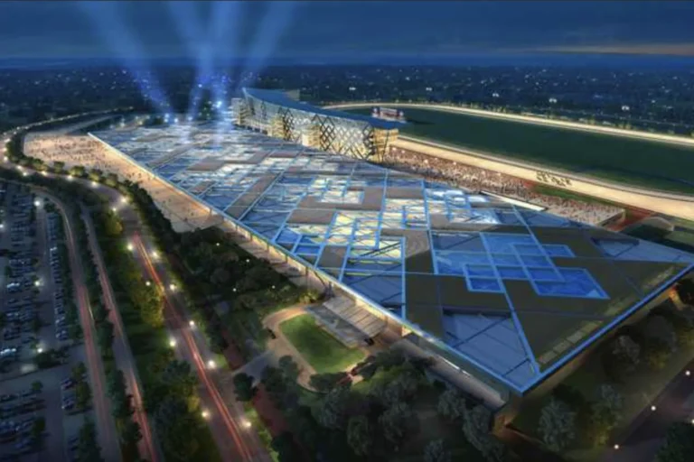
The material available for Al Kaheel Park is primarily conceptual: initial concept designs and a site map have been circulated to illustrate the original proposals. The source documentation explicitly notes that projects can undergo design revisions during planning and delivery, and that developers may alter architectural details, amenities and landscaping as a scheme evolves. Where a prospective buyer, renter or researcher needs to verify current specifications, the recommended approach is to check the latest developer releases, planning submissions or sales literature for updates to the master plan.
There are no individual building entries or on-site project listings included in the public summary provided. The public-facing content focuses on the concept-level presentation of the park area and its place within Dubailand rather than on a catalogue of completed or under-construction buildings tied to the site.
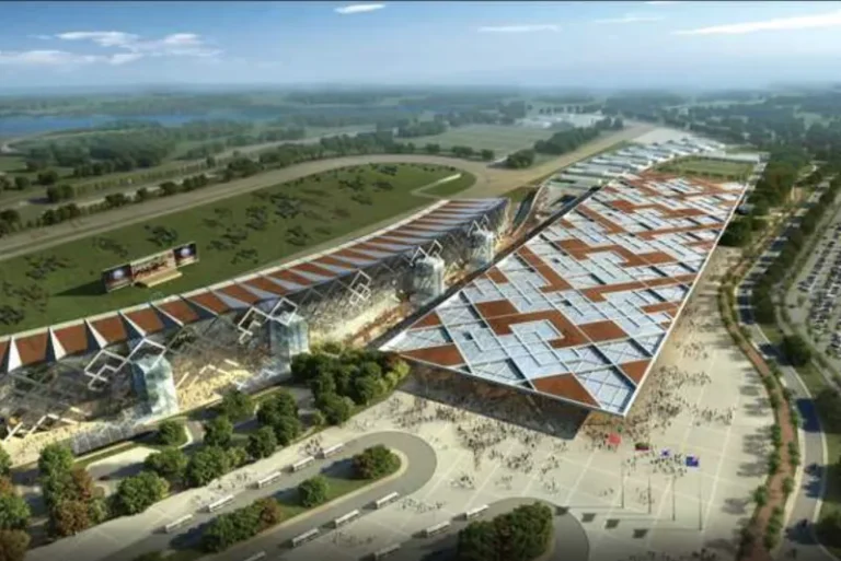
The concept imagery and map position Al Kaheel Park as a park-centric component within a larger master plan. That terminology and visual framing suggest a focus on landscaped open space, residential plots or blocks arranged around green areas, and a neighbourhood orientation rather than a high-density urban core. The published material does not itemise specific building types, unit mixes or amenity lists for the site; the available evidence is limited to high-level design concepts.
Based on its presentation as a park-focused sector of Dubailand, Al Kaheel Park is likely to be of interest to people seeking a suburban-style environment inside the Dubailand boundary. Typical profiles who may consider the area include:
For families, the published summary identifies Dubai British School, Mira at about 5.6 km as a nearby named schooling option; other educational and community facilities should be checked against current local service maps and developer communications to confirm distances and availability.
The public package associated with Al Kaheel Park stresses the concept-stage nature of the imagery and map. Where up-to-date detail is required — for instance, to understand plot boundaries, exact amenity provision, phasing or legal title arrangements — enquiries should be addressed to the parties marketing or managing the specific parcels within Dubailand. Independent planning records and developer documentation will provide the definitive, contractual information about delivery and specifications.
What is Al Kaheel Park?
Al Kaheel Park is a named area within DubaiLand / Dubailand shown in concept images and a location map. The available materials present it as a park-orientated component of the master plan.
How do I get there by public transport?
The recorded nearest metro station is on the Red Line (station code R73) at about 19.3 km; this distance is described as not walkable, so arrival typically requires a car, taxi or feeder service from the surrounding road network.
Are there schools nearby?
The publicly cited school in the location brief is Dubai British School, Mira, listed at approximately 5.6 km from the site. Additional educational options should be verified using current local directories or planning resources.
Where can I see the design concepts and maps?
Concept images and a location map are available in the public materials that accompany the site summary; these illustrate the initial proposals and the position of Al Kaheel Park within the Dubailand master plan. They are presented as concept-level material that may be revised during subsequent design and delivery stages.
Dubai market as a whole: prices, transactions and trends (DLD data) →





Nothing found. Try relaxing the filters.
Neighbouring areas and sub-communities to compare location and prices.