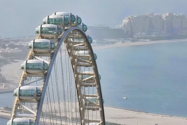
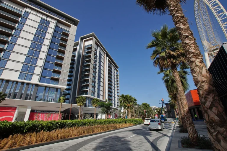
The Wharf at Bluewaters Island is a district of Dubai, 1.9 km from DMCC Metro Station.
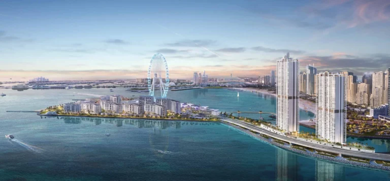
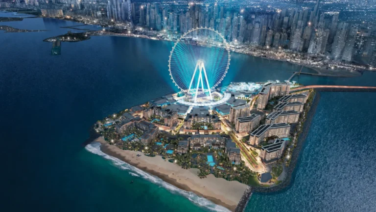
The Wharf at Bluewaters Island is a named location on Bluewaters Island within the broader Dubai Marina area. It functions as a waterfront node of the island and is commonly referenced on local maps and property guides. The Wharf’s position gives it direct visual and physical connection to the surrounding marine corridor and to Dubai Marina’s urban fabric; at the same time it is referenced independently as a place for visitors and residents to orient themselves on Bluewaters Island.
The Wharf at Bluewaters Island sits on Bluewaters Island, which is part of the Dubai Marina submarket. Official listings and location summaries identify the Wharf by name and place it within the island’s cluster of destinations. Navigation and community guides treat The Wharf as a distinct point on Bluewaters Island, linked to nearby public spaces and waterfront promenades.
In practical terms The Wharf is used as a locational reference inside the Bluewaters Island area and appears in route planners and local property portals as a destination. The site is included in community summaries that highlight nearby attractions, parks, beaches, golf clubs and cinemas in the wider area.
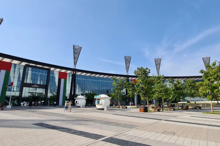
Primary access to The Wharf at Bluewaters Island is by road. From The Wharf it takes approximately 23 minutes to drive to Dubai Mall, 14 minutes to Palm Jumeirah, 19 minutes to Burj Al Arab and 18 minutes to The Walk JBR, according to local travel summaries. Driving times to the airports are usually cited as roughly 30 minutes to Dubai International Airport (DXB) and around 33 minutes to Al Maktoum International Airport; these figures reflect typical road conditions and are presented in travel overviews for the area.
Public transport connectivity is provided via the Dubai Metro Red Line. The nearest recorded metro reference is a Red Line station with the code R37 located about 1,932 metres from The Wharf. That distance is identified in local metadata and is described as not walkable for most users, so journey planning commonly assumes a short feeder taxi or ride-hail transfer to reach the metro network.

Community descriptions for The Wharf at Bluewaters Island highlight the presence of a variety of attractions within easy reach. Official property guides and mapping tools for the area list nearby points of interest such as parks, beaches, cinemas and leisure venues in the surrounding zones. Those summaries are used by buyers and renters to assess lifestyle convenience and proximity to entertainment and outdoor space.
Educational provision in the locality is noted in community records: the closest identified school in published summaries is Emirates International School Meadows, located at about 3.8 km from The Wharf. Local guides typically include that school among the nearest options for families evaluating the area.
Local lifestyle resources and event listings for the immediate vicinity are also referenced by third-party partners who track hospitality and leisure offerings. These partnerships provide overviews of contemporary dining promotions and weekend leisure events near Bluewaters Island and The Wharf, aimed at residents and visitors planning nights out or weekend brunches.

The Wharf is catalogued in property and community databases as a distinct locational entry on Bluewaters Island. Listings and location guides emphasise mapping, orientation and proximity to wider Dubai destinations rather than presenting a separate development programme under the Wharf name.
Because The Wharf is treated as a point within Bluewaters Island in area directories, information about specific residential or commercial projects is integrated under the island’s wider listings in property portals and community guides. Users consulting local property search platforms will encounter The Wharf as a named location when filtering or exploring Bluewaters Island properties and neighbourhood maps.

The Wharf at Bluewaters Island is suited to people who prioritise a waterfront setting within the Dubai Marina submarket and who place emphasis on short driving access to central Dubai destinations. The location is convenient for those who expect to use private transport or short taxi/ride-hail links to reach the metro, retail centres and leisure venues across Dubai Marina and JBR.
Given the documented proximity to a named international school and to a range of leisure attractions recorded in area summaries, the location can be of interest to families and professionals who value nearby schooling options and access to seaside amenities. The Wharf also functions as a reference point for visitors and tenants navigating Bluewaters Island itself.
Where exactly is The Wharf at Bluewaters Island?
The Wharf is a named location on Bluewaters Island, which is part of the Dubai Marina area. It appears in local property and community maps as a point of reference on the island.
How do I get to the nearest metro from The Wharf?
The nearest recorded metro reference is the Red Line station coded R37, about 1,932 metres from The Wharf; because of that distance, using a short taxi or ride-hail connection to the metro is the common approach.
What are typical driving times to key Dubai landmarks?
Local summaries indicate driving times of approximately 23 minutes to Dubai Mall, 14 minutes to Palm Jumeirah, 19 minutes to Burj Al Arab and 18 minutes to The Walk JBR. Airport drive times are given as roughly 30 minutes to DXB and about 33 minutes to Al Maktoum International Airport.
Are there schools near The Wharf?
Community records list several schools in the broader area; the nearest identified school in published summaries is Emirates International School Meadows at approximately 3.8 km from The Wharf.
For maps, detailed local guides and the property listings that reference The Wharf at Bluewaters Island, consult the area’s entry on recognised local property portals and community directories used by buyers and renters in Dubai.
Dubai market as a whole: prices, transactions and trends (DLD data) →
Largest management companies in the area: Kingfield Owner Association Management Services (20), Emaar Community Management (16), Prime Owners Association Management Services (9).
Check any building’s service charge → All communities
RERA-approved 2026 budgets from the DLD service charge index (Mollak); residential buildings. Rate is AED per sq ft per year; YoY compares the same buildings in 2025.




Nothing found. Try relaxing the filters.
Neighbouring areas and sub-communities to compare location and prices.