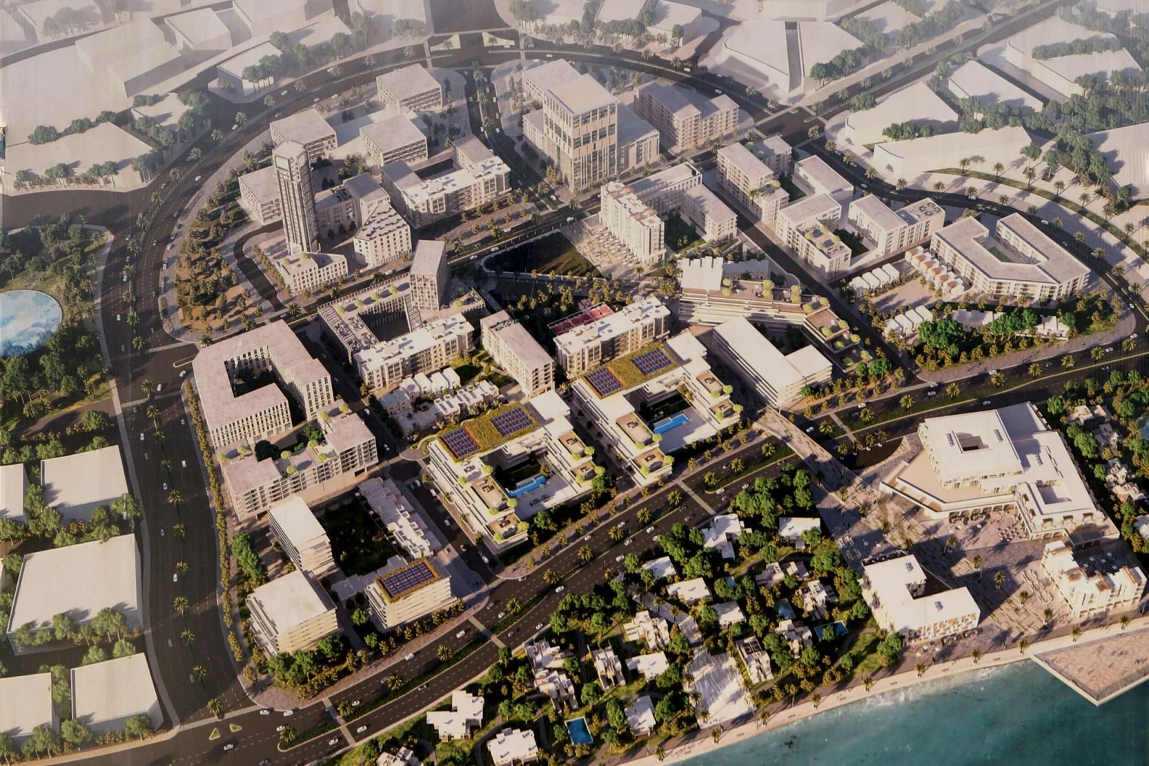
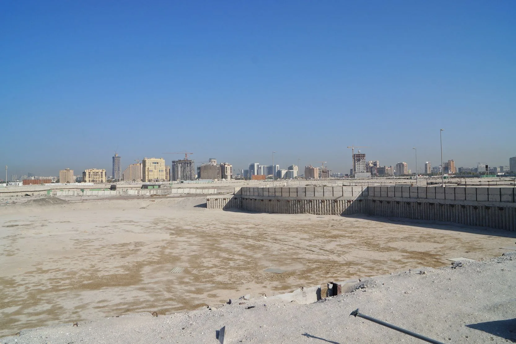
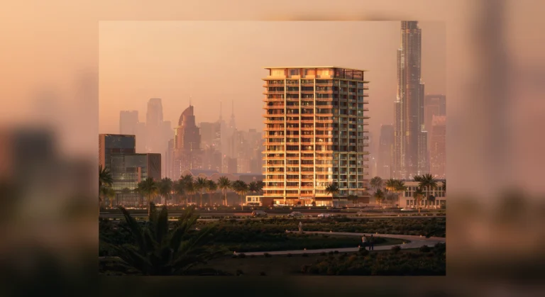
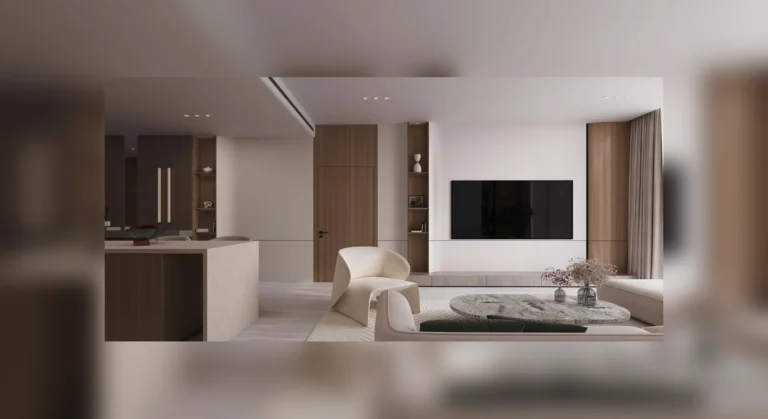
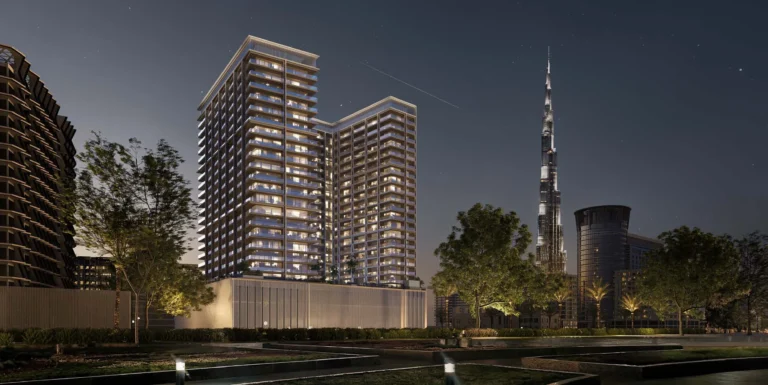
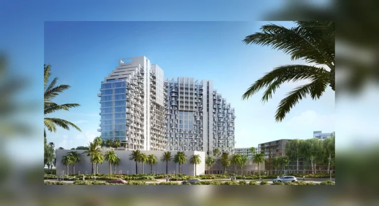
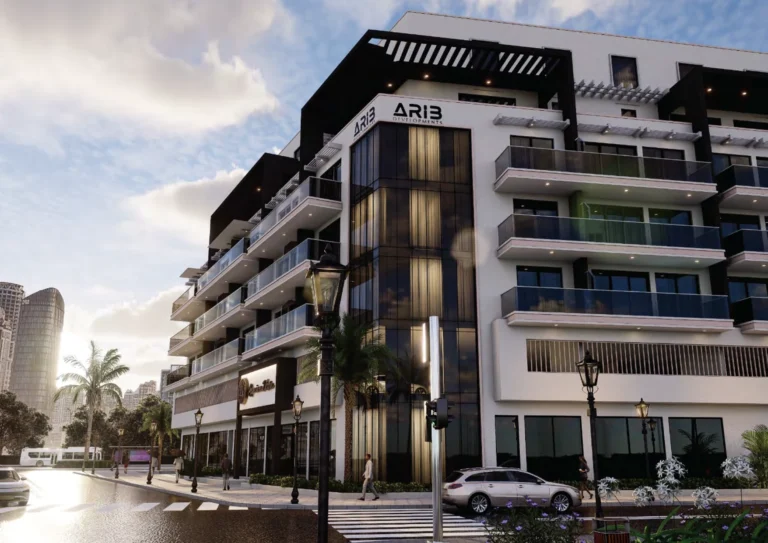
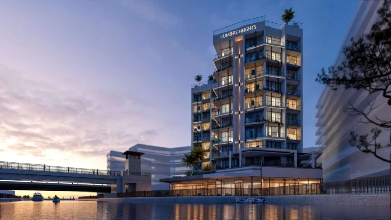
Al Fursan is a named sub-area within Healthcare City Phase 2 in the Al Jaddaf district of Dubai. The neighbourhood is presented in planning materials with images of initial concept designs; those images are intended to illustrate the masterplan ideas and may differ from final buildings and landscaping as developments progress.
What this place is and where it sits
Al Fursan is located in the Healthcare City Phase 2 cluster inside Al Jaddaf. Administratively and on planning maps it sits as part of the broader Healthcare City expansion, which groups medical, residential and mixed-use plots in close proximity. The area is best understood as a locality that forms part of the masterplan for Healthcare City Phase 2 rather than a single completed project.
The site is listed on property portals and on mapping resources; descriptive materials highlight its location within the Al Jaddaf neighbourhood and show its relationship to nearby amenities and institutions. Where available, concept graphics and maps help compare initial proposals with the completed fabric once construction and fit-out are finished.
Transport and distances
Public transport: the nearest Dubai Metro station on the Green Line is identified as station code G30 and is approximately 1,664 metres from Al Fursan. That distance is outside what many people consider comfortable walking range, so journeys to the metro are typically done by car, taxi or short feeder ride.
Local distances noted in planning and listings include educational and medical service points cited near Al Fursan:
- Swiss International Scientific School Dubai — approximately 0.7 km from Al Fursan as referenced in local summaries;
- Child Early Intervention Medical Center — approximately 2.9 km away, cited as a nearby clinical resource.
Travel times to Dubai’s major nodes will depend on the chosen route and mode of transport. Road links from Healthcare City Phase 2 connect into the arterial network serving central Dubai and the creek-side precincts; many residents use private car or taxi for routine trips given the semi-urban layout.
Urban form, buildings and projects
Materials supplied with the Al Fursan entry focus on concept-level imagery and the masterplan intent. Such materials are useful to compare design proposals with actual completed development. At present there are no specific projects listed as being “on site” in the data supplied, and no individual project URLs are attached to Al Fursan in the available records.
The broader Healthcare City Phase 2 area combines plots intended for medical facilities, residential buildings and supporting retail or community uses. As with many masterplanned envelopes, the realisation of each plot, including architectural design, amenity fit-out and landscaping, may be subject to revision by developers and local authorities during the construction process.
Services, amenities and context
Local summaries highlight proximity to schools and medical services as a characteristic of the neighbourhood. Listings and local guides also gather information on leisure and hospitality offerings in the wider Al Jaddaf and Dubai Healthcare City corridor. Independent platforms that list properties in the area commonly include details such as concept images, maps and curated lists of nearby attractions.
Partnerships between local listing services and lifestyle directories provide aggregated information about dining and entertainment options close to Al Fursan — for example, local guides summarise current brunch and ladies-night offers across nearby neighbourhoods. These third-party overviews are intended to help residents and visitors find regular leisure promotions in the vicinity.
Who this neighbourhood suits
Al Fursan appeals to people who prioritise proximity to medical and educational clusters and those who want a location within the Healthcare City Phase 2 masterplan. The area is relevant to:
- professionals working in healthcare and related services who value short commutes to medical campuses;
- families seeking access to nearby schools and medical facilities cited in local listings;
- investors or occupiers who prefer neighbourhoods that form part of a wider, planned urban precinct.
Given the metro station is roughly 1.7 km away, households that rely on public transport should consider feeder options or vehicle access. The built environment and final amenity mix will depend on which developers deliver plots and how the masterplan is implemented over time.
FAQ
How far is the nearest metro?
The Green Line station identified as code G30 is approximately 1,664 metres from Al Fursan; this distance is generally considered beyond easy walking range.
Are there schools and clinics nearby?
Local summaries reference the Swiss International Scientific School Dubai at about 0.7 km and the Child Early Intervention Medical Center at about 2.9 km as nearby institutions referenced in listing materials.
Are the images and plans definitive?
Images associated with the Al Fursan entry show initial concept designs. Concept graphics are intended to illustrate early proposals; developers may revise architectural designs, amenity lists and landscaping during project delivery.
Where can I find property listings and more detailed building information?
Specialist property portals host current listings and community guides that compile maps, images and nearby points of interest. These portals also channel enquiries to estate agents that advertise individual units or plots.